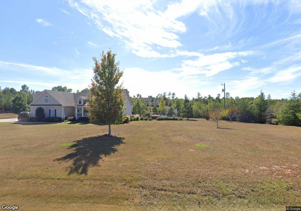
430 Grove St Barnesville, GA 30204
Estimated Value: $330,000 - $377,514
3
Beds
3
Baths
1,792
Sq Ft
$198/Sq Ft
Est. Value
About This Home
This home is located at 430 Grove St, Barnesville, GA 30204 and is currently estimated at $355,171, approximately $198 per square foot. 430 Grove St is a home located in Lamar County with nearby schools including Lamar County Primary School, Lamar County Elementary School, and Lamar County Middle School.
Ownership History
Date
Name
Owned For
Owner Type
Purchase Details
Closed on
May 12, 2023
Sold by
Strom Dennis R
Bought by
Strom Nealy S
Current Estimated Value
Purchase Details
Closed on
Mar 3, 2002
Sold by
Vaughn Clifford
Bought by
Strom Dennis R
Create a Home Valuation Report for This Property
The Home Valuation Report is an in-depth analysis detailing your home's value as well as a comparison with similar homes in the area
Home Values in the Area
Average Home Value in this Area
Purchase History
| Date | Buyer | Sale Price | Title Company |
|---|---|---|---|
| Strom Nealy S | -- | -- | |
| Strom Dennis R | -- | -- |
Source: Public Records
Tax History Compared to Growth
Tax History
| Year | Tax Paid | Tax Assessment Tax Assessment Total Assessment is a certain percentage of the fair market value that is determined by local assessors to be the total taxable value of land and additions on the property. | Land | Improvement |
|---|---|---|---|---|
| 2025 | $3,290 | $152,992 | $15,156 | $137,836 |
| 2024 | $3,290 | $130,434 | $15,156 | $115,278 |
| 2023 | $3,549 | $130,434 | $15,156 | $115,278 |
| 2022 | $3,080 | $113,476 | $11,299 | $102,177 |
| 2021 | $1,964 | $67,219 | $9,299 | $57,920 |
| 2020 | $2,068 | $67,219 | $9,299 | $57,920 |
| 2019 | $2,073 | $67,219 | $9,299 | $57,920 |
| 2018 | $1,990 | $67,219 | $9,299 | $57,920 |
| 2017 | $1,980 | $67,219 | $9,299 | $57,920 |
| 2016 | $1,981 | $67,219 | $9,299 | $57,920 |
| 2015 | $1,975 | $67,219 | $9,299 | $57,920 |
| 2014 | $1,914 | $67,219 | $9,299 | $57,920 |
| 2013 | -- | $67,219 | $9,299 | $57,920 |
Source: Public Records
Map
Nearby Homes
- 295 Grove St
- 178 Barnesville Ave
- 0 Washington Cir
- 746 Highway 18 W
- 13 Brown St
- 0 Piedmont Rd Unit 10600733
- 339 Atlanta St
- 420 Zebulon St
- 245 Atlanta St
- 250 Mill St
- 113 Heatherwood Ln
- 0 Mill St Unit 10420113
- 500 Rose Ave
- 0 Silver Dollar Rd Unit 10552561
- 101 3rd St
- 107 1st St
- 4 Jackson St
- 531 Thomaston St
- 202 Northside Dr
- 967 Five Points Rd