430 Jerald Carter Rd Sylvester, GA 31791
Estimated Value: $194,000 - $508,702
3
Beds
3
Baths
2,200
Sq Ft
$166/Sq Ft
Est. Value
About This Home
This home is located at 430 Jerald Carter Rd, Sylvester, GA 31791 and is currently estimated at $365,676, approximately $166 per square foot. 430 Jerald Carter Rd is a home located in Worth County with nearby schools including Worth County Primary School, Worth County Elementary School, and Worth County Middle School.
Ownership History
Date
Name
Owned For
Owner Type
Purchase Details
Closed on
Mar 19, 2018
Sold by
Brown Amanda P
Bought by
Brown Mack R
Current Estimated Value
Purchase Details
Closed on
Jun 13, 2014
Sold by
Roberts Doug F
Bought by
Brown Mack R and Brown Amanda
Home Financials for this Owner
Home Financials are based on the most recent Mortgage that was taken out on this home.
Original Mortgage
$188,800
Interest Rate
4.23%
Mortgage Type
New Conventional
Create a Home Valuation Report for This Property
The Home Valuation Report is an in-depth analysis detailing your home's value as well as a comparison with similar homes in the area
Home Values in the Area
Average Home Value in this Area
Purchase History
| Date | Buyer | Sale Price | Title Company |
|---|---|---|---|
| Brown Mack R | -- | -- | |
| Brown Mack R | $236,000 | -- |
Source: Public Records
Mortgage History
| Date | Status | Borrower | Loan Amount |
|---|---|---|---|
| Previous Owner | Brown Mack R | $188,800 |
Source: Public Records
Tax History Compared to Growth
Tax History
| Year | Tax Paid | Tax Assessment Tax Assessment Total Assessment is a certain percentage of the fair market value that is determined by local assessors to be the total taxable value of land and additions on the property. | Land | Improvement |
|---|---|---|---|---|
| 2024 | $2,680 | $110,027 | $41,539 | $68,488 |
| 2023 | $2,680 | $110,027 | $41,539 | $68,488 |
| 2022 | $2,447 | $108,397 | $41,539 | $66,858 |
| 2021 | $2,433 | $106,897 | $40,039 | $66,858 |
| 2020 | $2,428 | $106,897 | $40,039 | $66,858 |
| 2019 | $2,421 | $106,897 | $40,039 | $66,858 |
| 2018 | $3,063 | $106,897 | $40,039 | $66,858 |
| 2017 | $3,063 | $106,897 | $40,039 | $66,858 |
| 2016 | $2,159 | $106,897 | $40,039 | $66,858 |
| 2015 | $2,156 | $106,490 | $39,632 | $66,858 |
| 2014 | $2,149 | $106,489 | $39,632 | $66,858 |
| 2013 | -- | $104,100 | $37,242 | $66,858 |
| 2012 | -- | $104,100 | $37,242 | $66,857 |
Source: Public Records
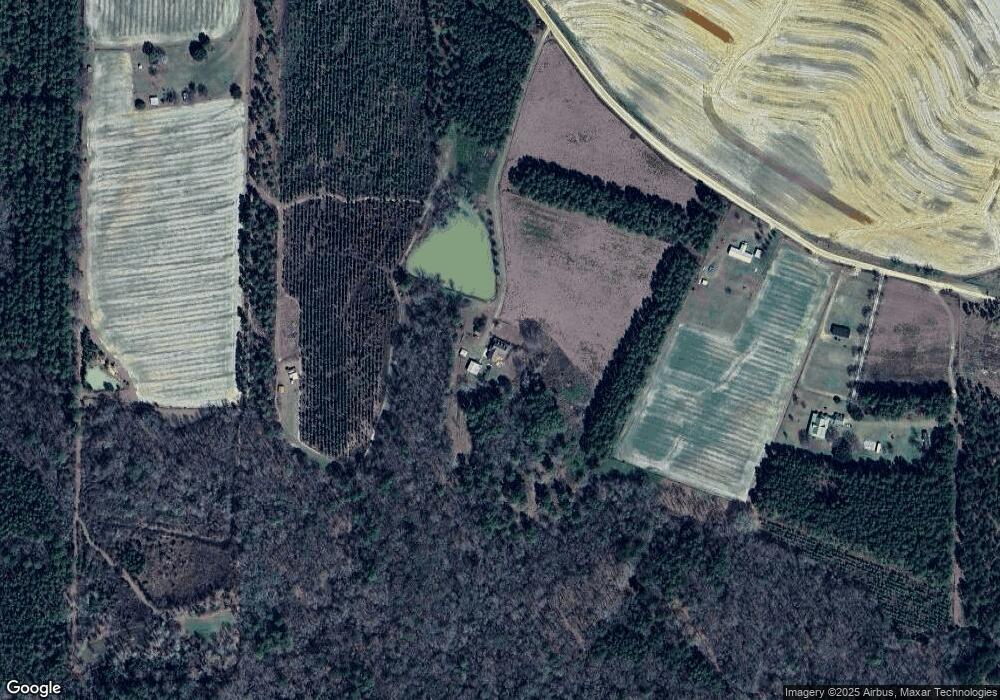
Map
Nearby Homes
- 330/332 Debbie Ln
- 340 Belk Rd
- 441 Weaver Rd
- 2329 Evergreen Rd
- 914 Douthit Rd
- 1852 Doerun Norman Park Rd
- 512 Hagin Still Rd
- 1017 Sumner Rd S
- 1583 Gibbs Rd
- 378 Old S R 33
- 104 Union Ln
- 825 N Green St
- 318 E Culpepper Ave
- 0 Gibbs Rd
- 0 Gibbs Rd Unit 10550822
- 0 Jones Rd
- 511 W Broad Ave
- 417 W Bay Ave
- 715 W Robinson Ave
- 702 New Bethel Church Rd