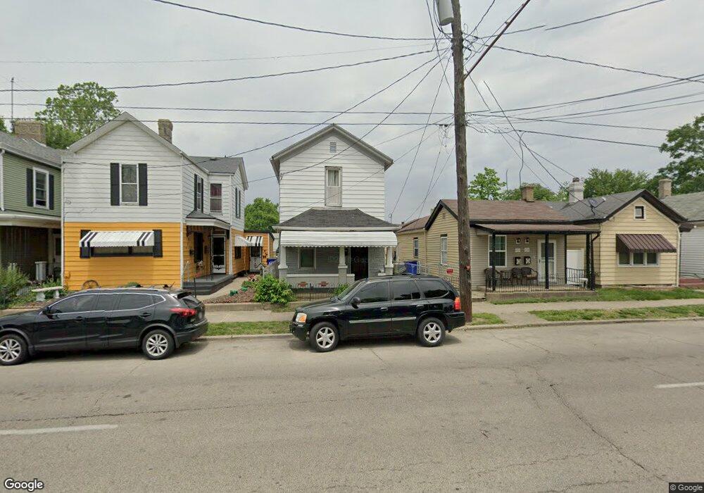
430 Knightsbridge Dr Hamilton, OH 45011
East Hamilton NeighborhoodEstimated Value: $61,000 - $113,000
3
Beds
1
Bath
1,240
Sq Ft
$72/Sq Ft
Est. Value
About This Home
This home is located at 430 Knightsbridge Dr, Hamilton, OH 45011 and is currently estimated at $88,879, approximately $71 per square foot. 430 Knightsbridge Dr is a home located in Butler County with nearby schools including Riverview Elementary School, Garfield Middle School, and Hamilton Freshman School.
Ownership History
Date
Name
Owned For
Owner Type
Purchase Details
Closed on
Sep 28, 2023
Sold by
Cain Thornton and Cain Gloria
Bought by
Oaks Property Group Llc
Current Estimated Value
Purchase Details
Closed on
Sep 13, 2023
Sold by
Oaks Property Group Llc
Bought by
Go Ohio Llc
Purchase Details
Closed on
Nov 6, 2018
Sold by
Estate Of Rosa Bell Childs
Bought by
Cain Thornton and Jones Rosemary
Purchase Details
Closed on
May 7, 2003
Sold by
Cain Willie H
Bought by
Childs Rosa Bell
Create a Home Valuation Report for This Property
The Home Valuation Report is an in-depth analysis detailing your home's value as well as a comparison with similar homes in the area
Home Values in the Area
Average Home Value in this Area
Purchase History
| Date | Buyer | Sale Price | Title Company |
|---|---|---|---|
| Oaks Property Group Llc | $51,000 | Prodigy Title | |
| Oaks Property Group Llc | $51,000 | Prodigy Title | |
| Go Ohio Llc | $68,000 | Prodigy Title | |
| Go Ohio Llc | $68,000 | Prodigy Title | |
| Cain Thornton | -- | None Available | |
| Childs Rosa Bell | -- | -- |
Source: Public Records
Tax History
| Year | Tax Paid | Tax Assessment Tax Assessment Total Assessment is a certain percentage of the fair market value that is determined by local assessors to be the total taxable value of land and additions on the property. | Land | Improvement |
|---|---|---|---|---|
| 2025 | $555 | $11,630 | $840 | $10,790 |
| 2024 | $555 | $11,630 | $840 | $10,790 |
| 2023 | $540 | $11,630 | $840 | $10,790 |
| 2022 | $491 | $8,800 | $840 | $7,960 |
| 2021 | $432 | $8,470 | $840 | $7,630 |
| 2020 | $449 | $8,470 | $840 | $7,630 |
| 2019 | $474 | $6,480 | $820 | $5,660 |
| 2018 | $348 | $6,480 | $820 | $5,660 |
| 2017 | $38 | $6,480 | $820 | $5,660 |
| 2016 | $38 | $5,870 | $820 | $5,050 |
| 2015 | $19 | $5,870 | $820 | $5,050 |
| 2014 | $174 | $5,870 | $820 | $5,050 |
| 2013 | $174 | $11,710 | $3,100 | $8,610 |
Source: Public Records
Map
Nearby Homes
- 334 Hanover St
- 0 Lane St Unit 1862596
- 712 S 4th St
- 1512 Pleasant Ave
- 154 Beckett St
- 4890 Harrier Ln
- 1129 Grand Blvd
- 1108 Bonacker Ave
- 603 Sycamore St
- 145 Pershing Ave
- 1114 Chestnut St
- 325 S 11th St
- 302 S 7th St
- 1555 S 12th St
- 129 Wilson St
- 1232 Chestnut St
- 5289 Brougham Ln
- 1836 Pleasant Ave
- 1317 Bonacker Ave
- 119 Wilson St
- 434 Knightsbridge Dr
- 428 Knightsbridge Dr
- 436 Knightsbridge Dr
- 422 Knightsbridge Dr
- 422 Knightbridge Dr
- 438 Knightsbridge Dr
- 420 Knightsbridge Dr
- 440 Knightsbridge Dr
- 418 Knightsbridge Dr
- 442 Knightsbridge Dr
- 416 Knightsbridge Dr
- 444 Knightsbridge Dr
- 1260 Lane St
- 1262 Lane St
- 421 Knightsbridge Dr
- 1258 Lane St
- 1266 Lane St
- 1256 Lane St
- 1270 Lane St
- 450 Knightsbridge Dr
Your Personal Tour Guide
Ask me questions while you tour the home.