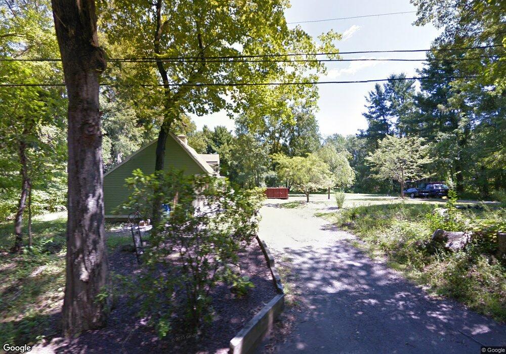
430 Maple Shade Rd Middletown, CT 06457
Estimated Value: $392,644 - $430,000
2
Beds
2
Baths
1,659
Sq Ft
$246/Sq Ft
Est. Value
About This Home
This home is located at 430 Maple Shade Rd, Middletown, CT 06457 and is currently estimated at $407,911, approximately $245 per square foot. 430 Maple Shade Rd is a home located in Middlesex County with nearby schools including Wesley School, Middletown High School, and St John Paul II School.
Ownership History
Date
Name
Owned For
Owner Type
Purchase Details
Closed on
Oct 26, 2020
Sold by
Pusz Stacey and Hubbard Stacey M
Bought by
Pusz Stacey M and Pusz Gregory
Current Estimated Value
Purchase Details
Closed on
Sep 15, 2017
Sold by
Hubbard Stacey M and Pusz Stacey
Bought by
Pusz Stacey and Pusz Gregory
Purchase Details
Closed on
Jun 29, 2010
Sold by
Hubbard Patricia A
Bought by
Hubbard Stacey M
Home Financials for this Owner
Home Financials are based on the most recent Mortgage that was taken out on this home.
Original Mortgage
$230,743
Interest Rate
4.87%
Mortgage Type
FHA
Purchase Details
Closed on
Dec 23, 1993
Sold by
Farmers & Mechanics Bk
Bought by
Hubbard Randy W
Home Financials for this Owner
Home Financials are based on the most recent Mortgage that was taken out on this home.
Original Mortgage
$100,000
Interest Rate
6.63%
Mortgage Type
Unknown
Create a Home Valuation Report for This Property
The Home Valuation Report is an in-depth analysis detailing your home's value as well as a comparison with similar homes in the area
Home Values in the Area
Average Home Value in this Area
Purchase History
| Date | Buyer | Sale Price | Title Company |
|---|---|---|---|
| Pusz Stacey M | -- | None Available | |
| Pusz Stacey | -- | -- | |
| Hubbard Stacey M | $235,000 | -- | |
| Hubbard Randy W | $100,000 | -- |
Source: Public Records
Mortgage History
| Date | Status | Borrower | Loan Amount |
|---|---|---|---|
| Previous Owner | Hubbard Randy W | $230,743 | |
| Previous Owner | Hubbard Randy W | $100,000 | |
| Previous Owner | Hubbard Randy W | $100,000 | |
| Previous Owner | Hubbard Randy W | $41,000 |
Source: Public Records
Tax History Compared to Growth
Tax History
| Year | Tax Paid | Tax Assessment Tax Assessment Total Assessment is a certain percentage of the fair market value that is determined by local assessors to be the total taxable value of land and additions on the property. | Land | Improvement |
|---|---|---|---|---|
| 2025 | $7,066 | $190,910 | $67,490 | $123,420 |
| 2024 | $6,760 | $190,910 | $67,490 | $123,420 |
| 2023 | $6,417 | $190,910 | $67,490 | $123,420 |
| 2022 | $5,787 | $140,280 | $49,990 | $90,290 |
| 2021 | $5,762 | $140,280 | $49,990 | $90,290 |
| 2020 | $5,752 | $140,280 | $49,990 | $90,290 |
| 2019 | $5,780 | $140,280 | $49,990 | $90,290 |
| 2018 | $5,581 | $140,280 | $49,990 | $90,290 |
| 2017 | $5,778 | $149,370 | $58,760 | $90,610 |
| 2016 | $5,662 | $149,370 | $58,760 | $90,610 |
| 2015 | $5,537 | $149,370 | $58,760 | $90,610 |
| 2014 | $5,531 | $149,370 | $58,760 | $90,610 |
Source: Public Records
Map
Nearby Homes
- Lot 2 Coleman Rd
- Lot 3 Coleman Rd
- 0 Arbutus St Unit 24065180
- 491 Long Hill Rd
- 44 Trailside Crossing
- 120 Scenic View Dr
- 30 Orange Rd Unit 30
- 347 Farm Hill Rd
- 55 Lorelei Cir
- 498 Pine St
- 18 Talcott Ridge Dr
- 10 Lorelei Cir
- 50 Garfield Ave
- 77 Lindsey Rd
- 17 Mckenna Dr
- 66 Durant Terrace
- 73 Durant St
- 58 Durant Terrace
- 74R Stone Bridge Dr
- 9 Sunset Dr
- 431 Maple Shade Rd
- 411 Maple Shade Rd
- 401 Maple Shade Rd
- 448 Maple Shade Rd
- 451 Maple Shade Rd
- 410 Maple Shade Rd
- 466 Maple Shade Rd
- 391 Maple Shade Rd
- 469 Maple Shade Rd
- 484 Maple Shade Rd
- 375 Maple Shade Rd
- 121 Paterson Dr
- 374 Maple Shade Rd
- 129 Paterson Dr
- 7 Farm View Cir
- 357 Maple Shade Rd
- 500 Maple Shade Rd
- 515 Maple Shade Rd
- 83 Paterson Dr
- 211 Cranberry Ln