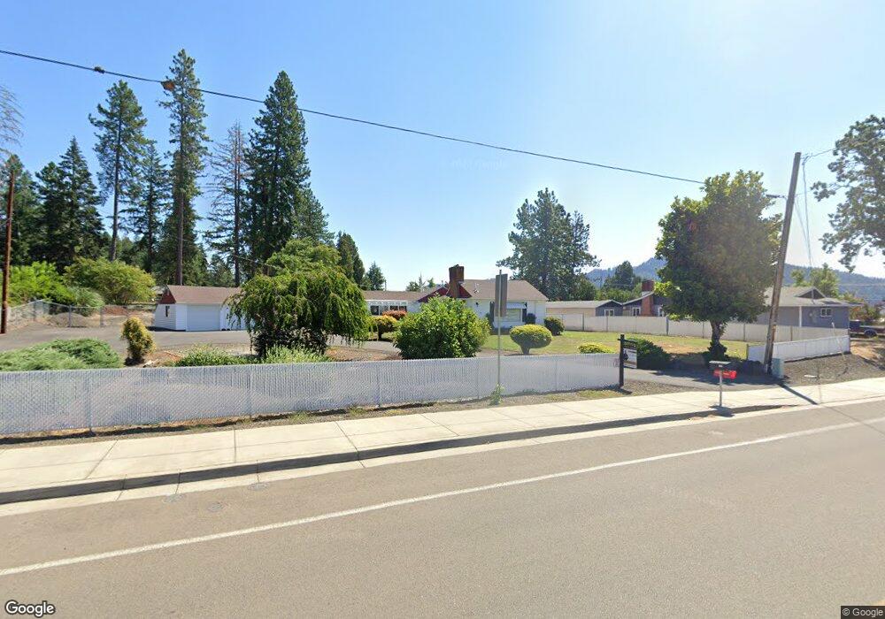
430 N Comstock Ave Sutherlin, OR 97479
Estimated Value: $335,000 - $364,817
2
Beds
2
Baths
1,474
Sq Ft
$239/Sq Ft
Est. Value
About This Home
This home is located at 430 N Comstock Ave, Sutherlin, OR 97479 and is currently estimated at $352,454, approximately $239 per square foot. 430 N Comstock Ave is a home located in Douglas County with nearby schools including East Sutherlin Primary School, West Sutherlin Intermediate School, and Sutherlin Middle School.
Ownership History
Date
Name
Owned For
Owner Type
Purchase Details
Closed on
Oct 24, 2022
Sold by
Moore Kenneth H
Bought by
Davis James T
Current Estimated Value
Home Financials for this Owner
Home Financials are based on the most recent Mortgage that was taken out on this home.
Original Mortgage
$50,000
Outstanding Balance
$48,064
Interest Rate
5.89%
Mortgage Type
New Conventional
Estimated Equity
$304,390
Create a Home Valuation Report for This Property
The Home Valuation Report is an in-depth analysis detailing your home's value as well as a comparison with similar homes in the area
Home Values in the Area
Average Home Value in this Area
Purchase History
| Date | Buyer | Sale Price | Title Company |
|---|---|---|---|
| Davis James T | $332,500 | -- |
Source: Public Records
Mortgage History
| Date | Status | Borrower | Loan Amount |
|---|---|---|---|
| Open | Davis James T | $50,000 |
Source: Public Records
Tax History Compared to Growth
Tax History
| Year | Tax Paid | Tax Assessment Tax Assessment Total Assessment is a certain percentage of the fair market value that is determined by local assessors to be the total taxable value of land and additions on the property. | Land | Improvement |
|---|---|---|---|---|
| 2024 | $2,064 | $165,533 | -- | -- |
| 2023 | $2,005 | $160,712 | $0 | $0 |
| 2022 | $1,947 | $156,032 | $0 | $0 |
| 2021 | $1,892 | $151,488 | $0 | $0 |
| 2020 | $1,836 | $147,076 | $0 | $0 |
| 2019 | $1,783 | $142,793 | $0 | $0 |
| 2018 | $1,731 | $138,634 | $0 | $0 |
| 2017 | $1,770 | $134,597 | $0 | $0 |
| 2016 | $1,718 | $130,677 | $0 | $0 |
| 2015 | $1,673 | $126,871 | $0 | $0 |
| 2014 | $1,624 | $123,176 | $0 | $0 |
| 2013 | -- | $119,589 | $0 | $0 |
Source: Public Records
Map
Nearby Homes
- 279 Grant St
- 165 Robinson St
- 226 Miller St
- 220 Miller St
- 1660 Scardi Blvd
- 0 Dakota St Unit B 500248401
- 420 Backwater Loop
- 1716 Scardi Blvd Unit 174
- 1223 Duke Ave
- 530 Tanglewood St
- 181 SW Hutchins St
- 1688 W Central Ave
- 1386 Airway Ave
- 819 S Comstock Ave Unit 13
- 0 N Fourth St Unit 24557651
- 702 Divot Loop
- 832 Sand Pines Ave
- 881 Medina Ave
- 890 Durham Ave
- 892 Fir Grove Ln
- 430 N Comstock Rd
- 420 N Comstock Ave
- 460 N Comstock Ave
- 1165 W Sixth Ave
- 508 N Comstock Ave
- 522 N Comstock Rd
- 522 N Comstock Ave
- 530 N Comstock Ave
- 1156 W Sixth Ave
- 388 Robinson St
- 1134 W Sixth Ave
- 1112 W Sixth Ave
- 1128 Laurel Ave
- 386 Kruse St
- 552 N Comstock Ave
- 1018 W Sixth Ave
- 1007 W Sixth Ave
- 375 Kruse St
- 0 W Sixth Ave Unit 22256380
- 1020 W Sixth Ave