430 N Wall St Coos Bay, OR 97420
Estimated Value: $400,000 - $434,040
3
Beds
1
Bath
1,008
Sq Ft
$414/Sq Ft
Est. Value
About This Home
This home is located at 430 N Wall St, Coos Bay, OR 97420 and is currently estimated at $417,020, approximately $413 per square foot. 430 N Wall St is a home located in Coos County with nearby schools including Sunset School, Madison Elementary School, and Marshfield Senior High School.
Ownership History
Date
Name
Owned For
Owner Type
Purchase Details
Closed on
Jul 21, 2009
Sold by
Burnette Michele and Burnett Michele
Bought by
Burnette Michele and Willis Julia M
Current Estimated Value
Home Financials for this Owner
Home Financials are based on the most recent Mortgage that was taken out on this home.
Original Mortgage
$162,000
Interest Rate
5.31%
Mortgage Type
New Conventional
Create a Home Valuation Report for This Property
The Home Valuation Report is an in-depth analysis detailing your home's value as well as a comparison with similar homes in the area
Home Values in the Area
Average Home Value in this Area
Purchase History
| Date | Buyer | Sale Price | Title Company |
|---|---|---|---|
| Burnette Michele | -- | Fidelity National Title Co |
Source: Public Records
Mortgage History
| Date | Status | Borrower | Loan Amount |
|---|---|---|---|
| Closed | Burnette Michele | $162,000 |
Source: Public Records
Tax History Compared to Growth
Tax History
| Year | Tax Paid | Tax Assessment Tax Assessment Total Assessment is a certain percentage of the fair market value that is determined by local assessors to be the total taxable value of land and additions on the property. | Land | Improvement |
|---|---|---|---|---|
| 2024 | $3,755 | $216,030 | -- | -- |
| 2023 | $3,641 | $209,740 | $0 | $0 |
| 2022 | $3,582 | $203,640 | $0 | $0 |
| 2021 | $3,489 | $197,710 | $0 | $0 |
| 2020 | $3,391 | $197,710 | $0 | $0 |
| 2019 | $3,255 | $186,370 | $0 | $0 |
| 2018 | $3,143 | $180,950 | $0 | $0 |
| 2017 | $2,786 | $175,680 | $0 | $0 |
| 2016 | $2,659 | $170,570 | $0 | $0 |
| 2015 | $2,478 | $165,610 | $0 | $0 |
| 2014 | $2,478 | $160,790 | $0 | $0 |
Source: Public Records
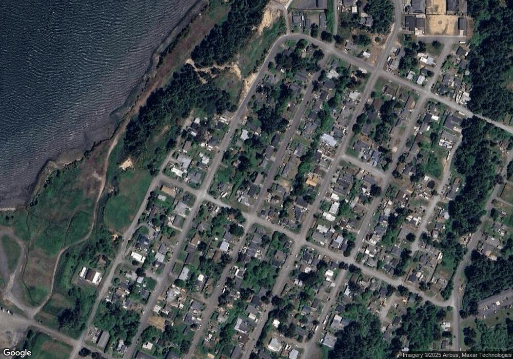
Map
Nearby Homes
- 437 N Wasson St
- 293 N Empire Blvd
- 0 N Cammann St
- 715 Jackson Ave
- 242 N Wasson St
- 235 N Wall St
- 274 N Cammann St
- 283 N Main St
- 0 Division Ave
- 755 Edwards
- 765 Edwards
- 620 John Ave
- 736 Edwards Ave
- 0 N Morrison St
- 161 N Cammann St
- 0 2185800 Unit 225689067
- 1066 Pirates Ct
- 1022 Newmark Ave
- 903 Chickses Dr
- 1088 Newmark Ave
- 420 N Wall St
- 460 N Wall St
- 435 N Marple St
- 445 N Marple St
- 410 N Wall St
- 455 N Marple St
- 470 N Wall St
- 441 N Wall St
- 413 N Marple St
- 425 N Wall St Unit 1
- 425 N Wall St
- 467 N Marple St
- 461 N Wall St
- 612 Harris Ave
- 480 N Wall St
- 490 N Wall St
- 477 N Marple St
- 475 N Wall St
- 396 N Wall St
- 487 N Marple St