
Seller's Agent in 2026
Josh Rumble
Nxcel Realty
(256) 567-3645
5 in this area
551 Total Sales
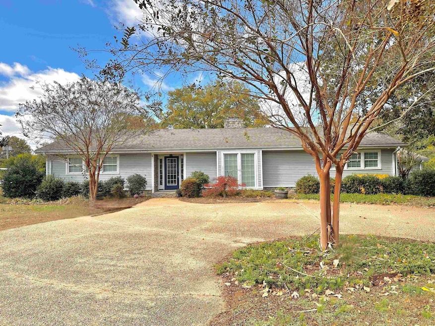
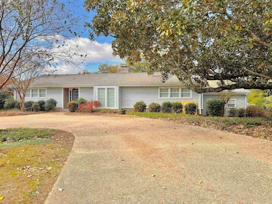
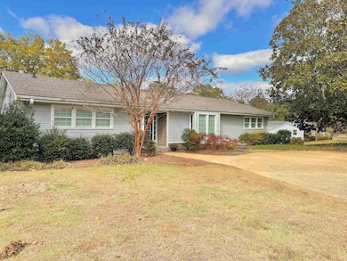
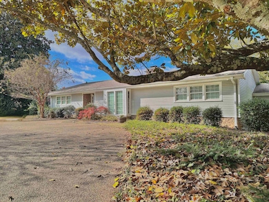
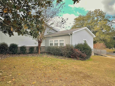
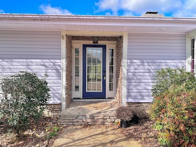
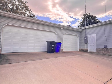
This stunning 4-bedroom, 3-bath home offers the perfect blend of modern design and convenience, located right in the heart of downtown Florence. The open floor plan provides a seamless flow between living spaces, ideal for entertaining and everyday living. The spacious kitchen features a large island with concrete countertops, stainless steel appliances, and ample cabinetry. The primary suite includes a luxurious bathroom with a private door leading directly to the in-ground pool, creating a perfect space for relaxation. Additional features include a three-car garage and a circle drive for added convenience and curb appeal. Enjoy being just minutes from local shops, restaurants, and all that downtown Florence has to offer. This home combines style, function, and location don't miss your chance to make it yours! Realtor owned.
| Date | Type | Sale Price | Title Company |
|---|---|---|---|
| Survivorship Deed | $75,000 | -- |
| Date | Status | Loan Amount | Loan Type |
|---|---|---|---|
| Closed | $166,640 | Purchase Money Mortgage |
| Date | Event | Price | List to Sale | Price per Sq Ft |
|---|---|---|---|---|
| 02/10/2026 02/10/26 | Sold | $320,000 | -13.5% | $110 / Sq Ft |
| 01/10/2026 01/10/26 | Pending | -- | -- | -- |
| 01/05/2026 01/05/26 | Price Changed | $369,900 | -5.1% | $127 / Sq Ft |
| 11/11/2025 11/11/25 | For Sale | $389,900 | -- | $134 / Sq Ft |
| Year | Tax Paid | Tax Assessment Tax Assessment Total Assessment is a certain percentage of the fair market value that is determined by local assessors to be the total taxable value of land and additions on the property. | Land | Improvement |
|---|---|---|---|---|
| 2025 | $1,555 | $33,060 | $0 | $0 |
| 2024 | $1,555 | $32,460 | $2,340 | $30,120 |
| 2023 | $1,526 | $2,120 | $2,120 | $0 |
| 2022 | $1,161 | $25,020 | $0 | $0 |
| 2021 | $949 | $20,680 | $0 | $0 |
| 2020 | $826 | $18,180 | $0 | $0 |
| 2019 | $826 | $18,180 | $0 | $0 |
| 2018 | $897 | $19,620 | $0 | $0 |
| 2017 | $740 | $16,560 | $0 | $0 |
| 2016 | $697 | $15,680 | $0 | $0 |
| 2015 | $697 | $15,680 | $0 | $0 |
| 2014 | $658 | $14,880 | $0 | $0 |
Seller's Agent in 2026
Josh Rumble
Nxcel Realty
(256) 567-3645
5 in this area
551 Total Sales
Seller Co-Listing Agent in 2026
Misty Waide
Nxcel Realty
(256) 567-3645
1 in this area
19 Total Sales
Buyer's Agent in 2026
KELLI LAMBERT
Renaissance Realty
(256) 810-8856
10 in this area
122 Total Sales
Source: Strategic MLS Alliance (Cullman / Shoals Area)
MLS Number: 525776
APN: 24-05-15-3-003-019.000
Disclaimer: Certain information contained herein is derived from information provided by parties other than Homes.com. All information provided is deemed reliable, but is not guaranteed to be accurate and should be independently verified.
![]() IDX information is provided exclusively for personal, non-commercial use, and may not be used for any purpose other than to identify prospective properties consumers may be interested in purchasing. Information is deemed reliable but not guaranteed.
IDX information is provided exclusively for personal, non-commercial use, and may not be used for any purpose other than to identify prospective properties consumers may be interested in purchasing. Information is deemed reliable but not guaranteed.
Ask me questions while you tour the home.