430 Perkins Rd Millen, GA 30442
Estimated Value: $126,000 - $319,846
--
Bed
2
Baths
1,600
Sq Ft
$139/Sq Ft
Est. Value
About This Home
This home is located at 430 Perkins Rd, Millen, GA 30442 and is currently estimated at $221,962, approximately $138 per square foot. 430 Perkins Rd is a home located in Jenkins County with nearby schools including Jenkins County Elementary School, Jenkins County Middle School, and Jenkins County High School.
Ownership History
Date
Name
Owned For
Owner Type
Purchase Details
Closed on
May 21, 2024
Sold by
Clarke Virginia
Bought by
Arthur David T and Arthur Victoria
Current Estimated Value
Purchase Details
Closed on
Apr 4, 2023
Sold by
Clarke Virginia M
Bought by
Lancaster Teri
Purchase Details
Closed on
Sep 22, 2011
Sold by
Arthur Tracy
Bought by
Clarke Virginia M
Purchase Details
Closed on
Jul 17, 2007
Sold by
Arthur David Terry
Bought by
Arthur Tracy
Create a Home Valuation Report for This Property
The Home Valuation Report is an in-depth analysis detailing your home's value as well as a comparison with similar homes in the area
Home Values in the Area
Average Home Value in this Area
Purchase History
| Date | Buyer | Sale Price | Title Company |
|---|---|---|---|
| Arthur David T | -- | -- | |
| Lancaster Teri | -- | -- | |
| Tracy Arthur | -- | -- | |
| Clarke Virginia M | -- | -- | |
| Arthur Tracy | -- | -- |
Source: Public Records
Tax History Compared to Growth
Tax History
| Year | Tax Paid | Tax Assessment Tax Assessment Total Assessment is a certain percentage of the fair market value that is determined by local assessors to be the total taxable value of land and additions on the property. | Land | Improvement |
|---|---|---|---|---|
| 2024 | $2,750 | $124,880 | $8,000 | $116,880 |
| 2023 | -- | $7,717 | $0 | $7,717 |
| 2022 | $2,341 | $97,760 | $9,800 | $87,960 |
| 2021 | $2,392 | $97,760 | $9,800 | $87,960 |
| 2020 | $2,469 | $97,042 | $9,082 | $87,960 |
| 2019 | $2,139 | $72,897 | $9,082 | $63,815 |
| 2018 | $1,906 | $72,897 | $9,082 | $63,815 |
| 2017 | $2,134 | $77,176 | $9,082 | $68,094 |
| 2016 | $3,394 | $126,714 | $7,568 | $119,146 |
| 2015 | -- | $47,030 | $7,568 | $39,462 |
| 2014 | -- | $47,390 | $7,568 | $39,822 |
Source: Public Records
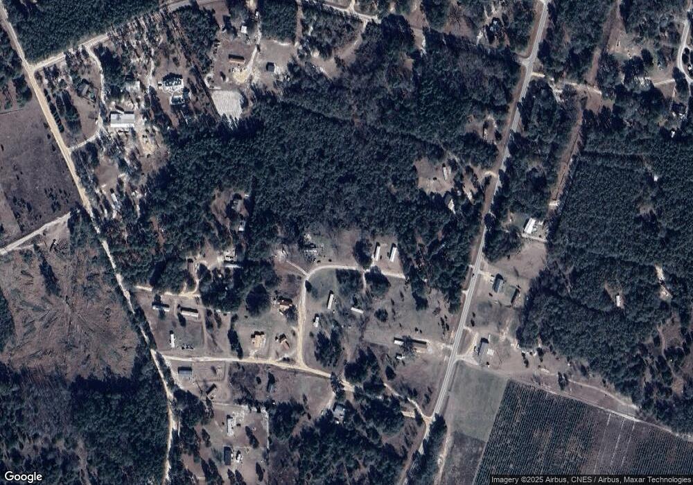
Map
Nearby Homes
- 0 Highway 25 N Unit 22250974
- 1135 N Masonic St
- 856 Harvey St
- 821 Harvey St
- 808 Harvey St
- 618 Walnut St
- 9.75 acres U S 25
- HWY 25 U S 25
- 50.65 ACRES U S 25
- 144 E Winthrope Ave
- 0 U S 25 Unit 546423
- 0 U S 25 Unit 519033
- 0 Hwy 25 N Unit 21649586
- 235 Johnson St
- 349 Palmer Row
- 423 S Masonic St
- 423 Richards Ave
- 466 Perkins Rd
- 446 Perkins Rd
- 452 Perkins Rd
- 462 Perkins Rd
- 464 Perkins Rd
- 0 Perkins Rd Unit 8328119
- 0 Perkins Rd Unit 7623952
- 0 Perkins Rd Unit 10462963
- 0 Perkins Rd Unit 20042482
- 0 Perkins Rd Unit 20037152
- 0 Perkins Rd Unit 8530851
- 0 Perkins Rd Unit 8942769
- 494 Perkins Rd
- 478 Perkins Rd
- 478 Perkins Rd
- 437 Perkins Rd
- 431 Perkins Rd
- 484 Perkins Rd
- 490 Perkins Rd
- 2 Georgia 21