430 Pioneer Path West Jefferson, NC 28694
Estimated Value: $425,000 - $500,000
--
Bed
--
Bath
2,830
Sq Ft
$166/Sq Ft
Est. Value
About This Home
This home is located at 430 Pioneer Path, West Jefferson, NC 28694 and is currently estimated at $470,740, approximately $166 per square foot. 430 Pioneer Path is a home with nearby schools including Ashe County High School.
Ownership History
Date
Name
Owned For
Owner Type
Purchase Details
Closed on
Sep 14, 2024
Sold by
Pham Rebecca Irene Graham and Graham Rebecca Irene
Bought by
Orr Christopher L and Orr Kathryn
Current Estimated Value
Home Financials for this Owner
Home Financials are based on the most recent Mortgage that was taken out on this home.
Original Mortgage
$430,000
Outstanding Balance
$425,166
Interest Rate
6.47%
Mortgage Type
VA
Estimated Equity
$45,574
Purchase Details
Closed on
Feb 16, 2023
Sold by
Graham Lynn R
Bought by
Lynn R Graham Revocable Trust
Create a Home Valuation Report for This Property
The Home Valuation Report is an in-depth analysis detailing your home's value as well as a comparison with similar homes in the area
Home Values in the Area
Average Home Value in this Area
Purchase History
| Date | Buyer | Sale Price | Title Company |
|---|---|---|---|
| Orr Christopher L | $430,000 | None Listed On Document | |
| Orr Christopher L | $430,000 | None Listed On Document | |
| Lynn R Graham Revocable Trust | -- | -- |
Source: Public Records
Mortgage History
| Date | Status | Borrower | Loan Amount |
|---|---|---|---|
| Open | Orr Christopher L | $430,000 | |
| Closed | Orr Christopher L | $430,000 |
Source: Public Records
Tax History Compared to Growth
Tax History
| Year | Tax Paid | Tax Assessment Tax Assessment Total Assessment is a certain percentage of the fair market value that is determined by local assessors to be the total taxable value of land and additions on the property. | Land | Improvement |
|---|---|---|---|---|
| 2025 | $2,004 | $382,400 | $35,000 | $347,400 |
| 2024 | $1,851 | $382,400 | $35,000 | $347,400 |
| 2023 | $1,851 | $382,400 | $35,000 | $347,400 |
| 2022 | $1,364 | $224,800 | $35,000 | $189,800 |
| 2021 | $1,364 | $224,800 | $35,000 | $189,800 |
| 2020 | $1,213 | $224,800 | $35,000 | $189,800 |
| 2019 | $1,160 | $224,800 | $35,000 | $189,800 |
| 2018 | $1,162 | $229,400 | $35,000 | $194,400 |
| 2016 | $1,162 | $229,400 | $35,000 | $194,400 |
| 2015 | $1,235 | $229,400 | $35,000 | $194,400 |
| 2014 | $1,235 | $265,100 | $40,000 | $225,100 |
Source: Public Records
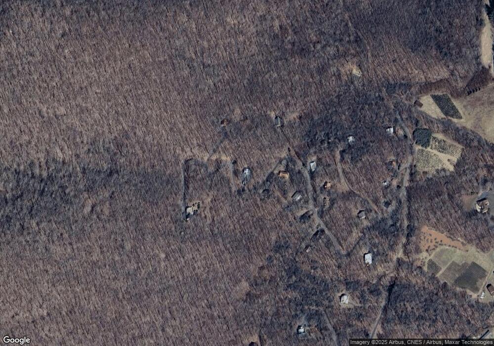
Map
Nearby Homes
- Tbd Edwards Rd
- TBD Edwards Rd
- TBD Bald Mountain Rd
- 21 Fairway Ridge Dr
- 491 Mountain Aire Ln
- 17 Savannah Dr
- 210 Savannah Dr
- none Stony Fork Rd
- 600 W Big Tree Rd
- unk Maple Branch Rd
- TBD Fairway Ridge Dr
- Lot #16 Crown Point Rd
- TBD Walter Godbey Rd
- 578 Pinnacle Dr
- 222 W Big Tree Rd
- 21 Pinnacle Dr
- Lot 16 Crown Point Rd
- Lot 16 Crown Point Rd Unit 16
- Lot 4 Crown Point Rd
- 211 Maple Tree Ln
- 430 Pioneer Path
- 407 Pioneer Path
- 510 Pioneer Path
- 359 Pioneer Path
- 285 Pioneer Path
- 356 Pioneer Path
- 511 Pioneer Path
- 279 Pioneer Path
- 332 Pioneer Path
- 308 Pioneer Path
- 201 Wagon Trail
- 268 Pioneer Path
- 200 Wagon Trail
- 255 Pioneer Path
- 168 Pioneer Path
- 312 Frontier Dr
- 362 Frontier Dr
- Lot 10 Tbd Frontier Dr
- 126 Pioneer Path
- Lot 9 Tbd Frontier Dr