430 Ridge Rd Divide, CO 80814
Estimated Value: $422,000 - $472,000
3
Beds
2
Baths
1,682
Sq Ft
$268/Sq Ft
Est. Value
About This Home
This home is located at 430 Ridge Rd, Divide, CO 80814 and is currently estimated at $450,245, approximately $267 per square foot. 430 Ridge Rd is a home located in Teller County with nearby schools including Woodland Park Junior/Senior High School and Merit Academy.
Ownership History
Date
Name
Owned For
Owner Type
Purchase Details
Closed on
Jun 30, 2014
Sold by
Richards Katherine M
Bought by
Boyle William Scott
Current Estimated Value
Home Financials for this Owner
Home Financials are based on the most recent Mortgage that was taken out on this home.
Original Mortgage
$137,600
Outstanding Balance
$105,084
Interest Rate
4.23%
Mortgage Type
New Conventional
Estimated Equity
$345,161
Purchase Details
Closed on
Sep 26, 2001
Sold by
Stoker Charles T and Stoker Christine L
Bought by
Rickards Katherine M
Home Financials for this Owner
Home Financials are based on the most recent Mortgage that was taken out on this home.
Original Mortgage
$90,000
Interest Rate
6.88%
Purchase Details
Closed on
Oct 30, 1996
Bought by
Boyle William Scott
Create a Home Valuation Report for This Property
The Home Valuation Report is an in-depth analysis detailing your home's value as well as a comparison with similar homes in the area
Home Values in the Area
Average Home Value in this Area
Purchase History
| Date | Buyer | Sale Price | Title Company |
|---|---|---|---|
| Boyle William Scott | $172,000 | Unified Title Company | |
| Rickards Katherine M | $138,500 | -- | |
| Boyle William Scott | $100,800 | -- |
Source: Public Records
Mortgage History
| Date | Status | Borrower | Loan Amount |
|---|---|---|---|
| Open | Boyle William Scott | $137,600 | |
| Previous Owner | Rickards Katherine M | $90,000 |
Source: Public Records
Tax History
| Year | Tax Paid | Tax Assessment Tax Assessment Total Assessment is a certain percentage of the fair market value that is determined by local assessors to be the total taxable value of land and additions on the property. | Land | Improvement |
|---|---|---|---|---|
| 2024 | $1,684 | $27,080 | $0 | $0 |
| 2023 | $1,684 | $27,080 | $3,880 | $23,200 |
| 2022 | $1,175 | $20,960 | $3,240 | $17,720 |
| 2021 | $1,211 | $21,560 | $3,330 | $18,230 |
| 2020 | $876 | $15,940 | $2,910 | $13,030 |
| 2019 | $866 | $15,940 | $0 | $0 |
| 2018 | $708 | $12,640 | $0 | $0 |
| 2017 | $710 | $12,640 | $0 | $0 |
| 2016 | $786 | $13,950 | $0 | $0 |
| 2015 | $883 | $6,970 | $0 | $0 |
| 2014 | $364 | $5,670 | $0 | $0 |
Source: Public Records
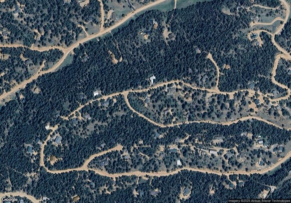
Map
Nearby Homes
- 377 Ridge Rd
- 413 Lake Dr W
- 860 Spring Valley Dr Unit 13
- 702 Lake Dr
- 170 Ridge Rd
- 4076 Omer Ln
- 356 Spring Valley Dr
- 832 Spring Valley Dr
- 112 Blue Jay Ln
- 112 Blue Jay Ln
- 85 Remwood Cir
- 56 Blue Jay Ln
- 209 Kenosha Cir
- 6500 Cr 5 Rd
- 47 Aspen Rd
- 358 Fern Rd
- 374 Fern Rd
- 169 Evergreen Rd
- 237 Columbine Rd
- 451 Fern Rd