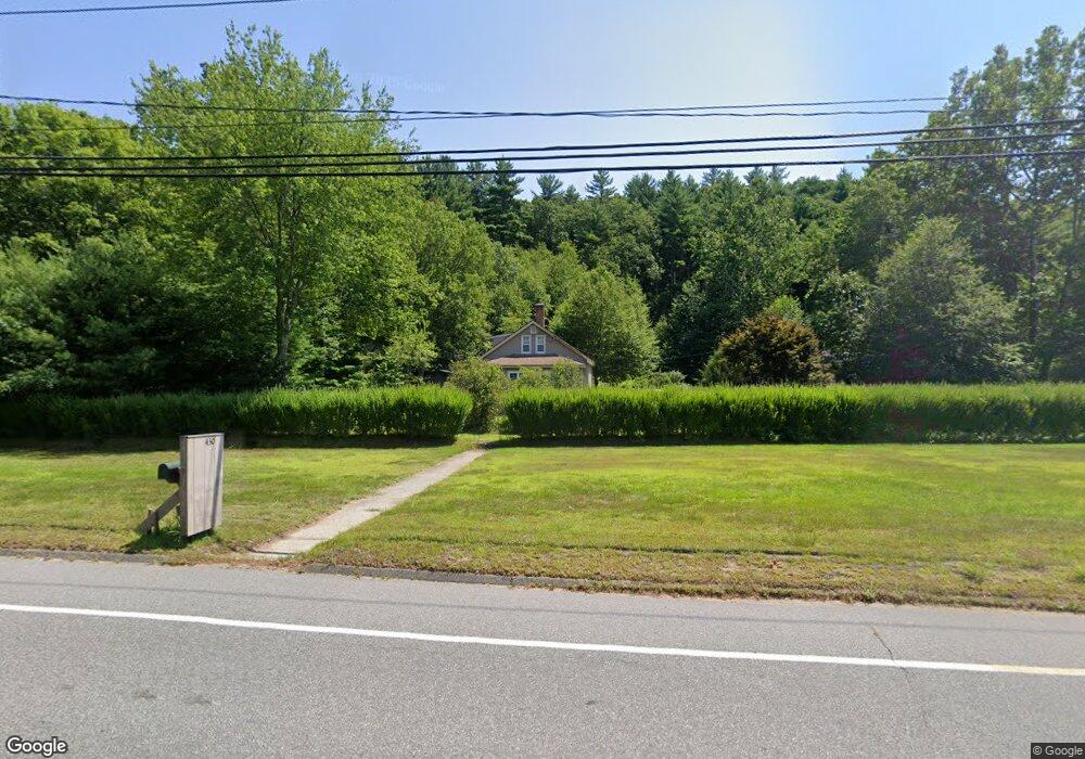
430 River Rd Willington, CT 06279
Estimated Value: $249,000 - $318,000
4
Beds
2
Baths
1,531
Sq Ft
$191/Sq Ft
Est. Value
About This Home
This home is located at 430 River Rd, Willington, CT 06279 and is currently estimated at $293,035, approximately $191 per square foot. 430 River Rd is a home located in Tolland County with nearby schools including Center Elementary School, Hall Memorial School, and E.O. Smith High School.
Ownership History
Date
Name
Owned For
Owner Type
Purchase Details
Closed on
Sep 11, 2003
Sold by
Harrison Steven and Harrison Ruth
Bought by
Carbonneau Paul
Current Estimated Value
Home Financials for this Owner
Home Financials are based on the most recent Mortgage that was taken out on this home.
Original Mortgage
$120,000
Outstanding Balance
$55,591
Interest Rate
6.22%
Estimated Equity
$237,444
Create a Home Valuation Report for This Property
The Home Valuation Report is an in-depth analysis detailing your home's value as well as a comparison with similar homes in the area
Home Values in the Area
Average Home Value in this Area
Purchase History
| Date | Buyer | Sale Price | Title Company |
|---|---|---|---|
| Carbonneau Paul | $165,000 | -- | |
| Carbonneau Paul | $165,000 | -- |
Source: Public Records
Mortgage History
| Date | Status | Borrower | Loan Amount |
|---|---|---|---|
| Open | Carbonneau Paul | $120,000 | |
| Closed | Carbonneau Paul | $120,000 | |
| Previous Owner | Carbonneau Paul | $104,000 |
Source: Public Records
Tax History
| Year | Tax Paid | Tax Assessment Tax Assessment Total Assessment is a certain percentage of the fair market value that is determined by local assessors to be the total taxable value of land and additions on the property. | Land | Improvement |
|---|---|---|---|---|
| 2025 | $4,606 | $181,200 | $29,150 | $152,050 |
| 2024 | $3,900 | $115,080 | $27,420 | $87,660 |
| 2023 | $3,701 | $115,080 | $27,420 | $87,660 |
| 2022 | $3,599 | $115,080 | $27,420 | $87,660 |
| 2021 | $3,451 | $115,080 | $27,420 | $87,660 |
| 2020 | $3,451 | $115,080 | $27,420 | $87,660 |
| 2019 | $3,463 | $115,080 | $27,420 | $87,660 |
| 2018 | $3,138 | $104,290 | $35,520 | $68,770 |
| 2017 | $3,138 | $104,290 | $35,520 | $68,770 |
| 2015 | $2,851 | $104,290 | $35,520 | $68,770 |
| 2014 | $2,851 | $104,290 | $35,520 | $68,770 |
Source: Public Records
Map
Nearby Homes
- 70 Tolland Turnpike
- 0 River Rd Unit 24120753
- 0 Tolland Stage Rd Unit 24101836
- 0 Jared Sparks Rd
- 21 Ashley Ln
- 131 River Rd
- 487 Buff Cap Rd
- 124 River Rd
- 0 Lohse Rd Unit map 42 block 21
- 280 Village Hill Rd
- 159 Anthony Rd
- 137 Anthony Rd
- 28 Cemetery Rd
- 22 Cisar Rd
- 8 Neff Hill Rd
- 41 Neff Hill Rd
- 27 Amanda Way
- 645 Buff Cap Rd
- 71 Neff Hill Rd
- 8 Walbridge Hill Rd
Your Personal Tour Guide
Ask me questions while you tour the home.