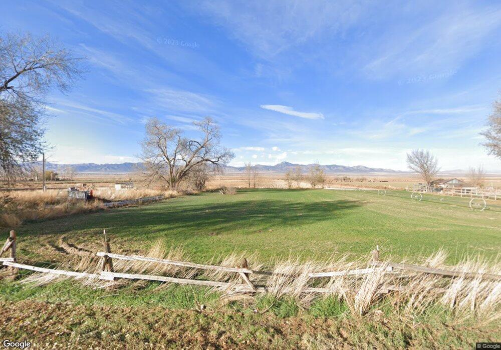
430 S 600 W Santaquin, UT 84655
Estimated Value: $747,000 - $1,161,809
4
Beds
6
Baths
5,900
Sq Ft
$160/Sq Ft
Est. Value
About This Home
This home is located at 430 S 600 W, Santaquin, UT 84655 and is currently estimated at $942,952, approximately $159 per square foot. 430 S 600 W is a home located in Utah County with nearby schools including Santaquin Elementary School, Payson Junior High School, and Payson High School.
Ownership History
Date
Name
Owned For
Owner Type
Purchase Details
Closed on
Dec 12, 2001
Sold by
Moriah Investment Group Ltd
Bought by
Robbins Mark D
Current Estimated Value
Home Financials for this Owner
Home Financials are based on the most recent Mortgage that was taken out on this home.
Original Mortgage
$210,000
Outstanding Balance
$82,058
Interest Rate
6.57%
Estimated Equity
$860,894
Create a Home Valuation Report for This Property
The Home Valuation Report is an in-depth analysis detailing your home's value as well as a comparison with similar homes in the area
Home Values in the Area
Average Home Value in this Area
Purchase History
| Date | Buyer | Sale Price | Title Company |
|---|---|---|---|
| Robbins Mark D | -- | Titlewriters Inc |
Source: Public Records
Mortgage History
| Date | Status | Borrower | Loan Amount |
|---|---|---|---|
| Open | Robbins Mark D | $210,000 |
Source: Public Records
Tax History Compared to Growth
Tax History
| Year | Tax Paid | Tax Assessment Tax Assessment Total Assessment is a certain percentage of the fair market value that is determined by local assessors to be the total taxable value of land and additions on the property. | Land | Improvement |
|---|---|---|---|---|
| 2025 | $5,305 | $541,310 | $153,000 | $831,200 |
| 2024 | $5,305 | $528,330 | $0 | $0 |
| 2023 | $5,762 | $575,575 | $0 | $0 |
| 2022 | $5,612 | $578,215 | $0 | $0 |
| 2021 | $5,242 | $837,300 | $103,500 | $733,800 |
| 2020 | $5,075 | $785,500 | $90,000 | $695,500 |
| 2019 | $4,931 | $780,500 | $85,000 | $695,500 |
| 2018 | $4,561 | $687,800 | $80,700 | $607,100 |
| 2017 | $4,121 | $332,295 | $0 | $0 |
| 2016 | $4,065 | $321,195 | $0 | $0 |
| 2015 | $3,620 | $280,550 | $0 | $0 |
| 2014 | $3,628 | $280,550 | $0 | $0 |
Source: Public Records
Map
Nearby Homes
- 700 S 300 W
- 683 W Empress St Unit 80
- 43 N 300 W
- 50 W 400 S
- Pendleton Plan at Silver Oaks
- 866 S Brubaker Way
- 260 S Center St
- 879 S Brubaker Way
- 781 S Brubaker Way
- 241 N Polly Ln Unit 1
- 245 N Polly Ln Unit 2
- 245 N Polly Ln
- 822 S Horizon Loop Unit 513
- 685 Empress St Unit 79
- 251 N Polly Ln
- 251 N Polly Ln Unit 4
- 689 Empress St Unit 78
- 255 N Polly Ln
- 255 Polly Ln Unit 6
- 20 E 200 S