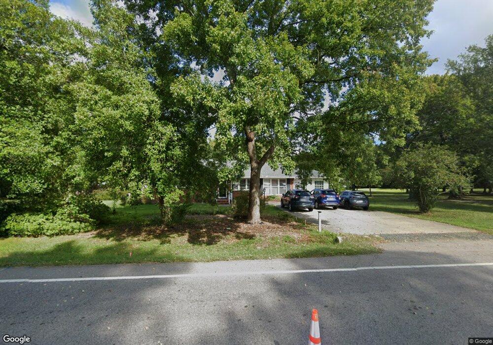
430 Sherron Rd Durham, NC 27703
Eastern Durham NeighborhoodEstimated Value: $374,000 - $397,533
3
Beds
1
Bath
1,630
Sq Ft
$235/Sq Ft
Est. Value
About This Home
This home is located at 430 Sherron Rd, Durham, NC 27703 and is currently estimated at $383,133, approximately $235 per square foot. 430 Sherron Rd is a home located in Durham County with nearby schools including Oak Grove Elementary, John W Neal Middle School, and Southern School of Energy & Sustainability.
Ownership History
Date
Name
Owned For
Owner Type
Purchase Details
Closed on
Sep 30, 2014
Sold by
Shepherd Doris M
Bought by
Henry Sammy K and Henry Mettie Kuo
Current Estimated Value
Home Financials for this Owner
Home Financials are based on the most recent Mortgage that was taken out on this home.
Original Mortgage
$139,397
Outstanding Balance
$105,474
Interest Rate
3.75%
Mortgage Type
FHA
Estimated Equity
$277,659
Create a Home Valuation Report for This Property
The Home Valuation Report is an in-depth analysis detailing your home's value as well as a comparison with similar homes in the area
Home Values in the Area
Average Home Value in this Area
Purchase History
| Date | Buyer | Sale Price | Title Company |
|---|---|---|---|
| Henry Sammy K | $142,000 | None Available |
Source: Public Records
Mortgage History
| Date | Status | Borrower | Loan Amount |
|---|---|---|---|
| Open | Henry Sammy K | $139,397 |
Source: Public Records
Tax History Compared to Growth
Tax History
| Year | Tax Paid | Tax Assessment Tax Assessment Total Assessment is a certain percentage of the fair market value that is determined by local assessors to be the total taxable value of land and additions on the property. | Land | Improvement |
|---|---|---|---|---|
| 2025 | $3,172 | $454,480 | $236,872 | $217,608 |
| 2024 | $2,195 | $209,471 | $68,643 | $140,828 |
| 2023 | $2,113 | $209,471 | $68,643 | $140,828 |
| 2022 | $2,050 | $209,471 | $68,643 | $140,828 |
| 2021 | $1,837 | $209,471 | $68,643 | $140,828 |
| 2020 | $1,795 | $209,471 | $68,643 | $140,828 |
| 2019 | $1,774 | $209,471 | $68,643 | $140,828 |
| 2018 | $1,536 | $166,452 | $52,351 | $114,101 |
| 2017 | $1,486 | $166,452 | $52,351 | $114,101 |
| 2016 | $1,441 | $166,452 | $52,351 | $114,101 |
| 2015 | $1,334 | $129,500 | $44,659 | $84,841 |
| 2014 | $1,341 | $129,500 | $44,659 | $84,841 |
Source: Public Records
Map
Nearby Homes
- 1013 Blackthorn Ln
- 9 Blackthorn Ln
- The Poplar Plan at Sherron Road Townes
- 11 Blackthorn Ln
- 30 Plumleaf Ln
- 1110 Blackthorn Ln
- 519 Keith St
- 1318 Cosmic Dr
- 2002 Cross Bones Blvd Unit 36
- 807 Outlaw Ave Unit 19
- 2011 Cross Bones Blvd Unit 41
- 1009 Shovelhead Dr Unit 5
- 611 Poplar St
- 124 Green Gables Way
- 1110 W Wellwater Ave
- 632 Poplar St
- 6 Dawson Ct
- 617 Hiddenbrook Dr
- 621 Wellwater Ave
- 814 Poplar St
- 436 Sherron Rd
- 422 Sherron Rd
- 731 Bayard Rd
- 426 Sherron Rd
- 440 Sherron Rd
- 416 Sherron Rd
- 727 Bayard Rd
- 1106 Blackthorn Ln Unit 15
- 528 Plumleaf Ln
- 433 Sherron Rd
- 502 Sherron Rd
- 509 Sherron Rd Unit 10
- 509 Sherron Rd Unit 11
- 509 Sherron Rd Unit 30
- 509 Sherron Rd Unit 36
- 509 Sherron Rd Unit 22
- 509 Sherron Rd Unit 25
- 509 Sherron Rd Unit 14
- 509 Sherron Rd Unit 9
- 509 Sherron Rd Unit 18