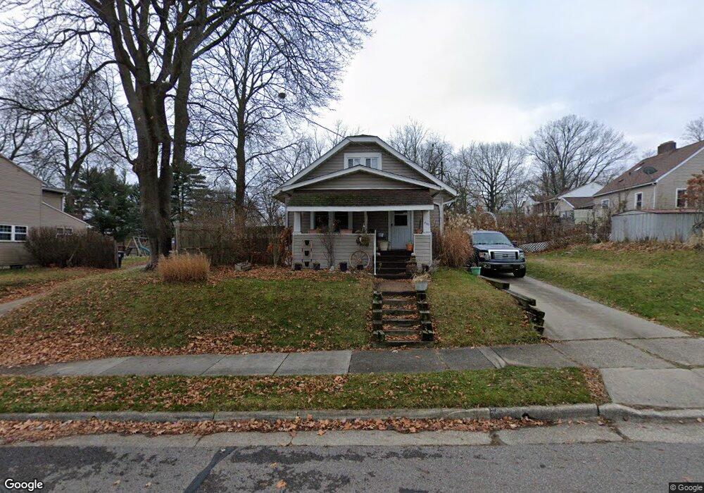
430 Stanford St Akron, OH 44314
Kenmore NeighborhoodEstimated Value: $95,768 - $129,000
2
Beds
1
Bath
796
Sq Ft
$138/Sq Ft
Est. Value
About This Home
This home is located at 430 Stanford St, Akron, OH 44314 and is currently estimated at $110,192, approximately $138 per square foot. 430 Stanford St is a home located in Summit County with nearby schools including Sam Salem Community Learning Center.
Ownership History
Date
Name
Owned For
Owner Type
Purchase Details
Closed on
Apr 9, 1999
Sold by
Snyder Helen M
Bought by
Snyder Steven M and Snyder Sharon L
Current Estimated Value
Home Financials for this Owner
Home Financials are based on the most recent Mortgage that was taken out on this home.
Original Mortgage
$26,000
Interest Rate
6.94%
Create a Home Valuation Report for This Property
The Home Valuation Report is an in-depth analysis detailing your home's value as well as a comparison with similar homes in the area
Home Values in the Area
Average Home Value in this Area
Purchase History
| Date | Buyer | Sale Price | Title Company |
|---|---|---|---|
| Snyder Steven M | $45,000 | Trident Title Agency |
Source: Public Records
Mortgage History
| Date | Status | Borrower | Loan Amount |
|---|---|---|---|
| Closed | Snyder Steven M | $26,000 |
Source: Public Records
Tax History Compared to Growth
Tax History
| Year | Tax Paid | Tax Assessment Tax Assessment Total Assessment is a certain percentage of the fair market value that is determined by local assessors to be the total taxable value of land and additions on the property. | Land | Improvement |
|---|---|---|---|---|
| 2025 | $1,688 | $30,650 | $9,503 | $21,147 |
| 2024 | $1,688 | $30,650 | $9,503 | $21,147 |
| 2023 | $1,688 | $30,650 | $9,503 | $21,147 |
| 2022 | $1,350 | $19,033 | $5,796 | $13,237 |
| 2021 | $1,351 | $19,033 | $5,796 | $13,237 |
| 2020 | $1,331 | $19,040 | $5,800 | $13,240 |
| 2019 | $1,300 | $16,870 | $5,390 | $11,480 |
| 2018 | $1,284 | $16,870 | $5,390 | $11,480 |
| 2017 | $1,396 | $16,870 | $5,390 | $11,480 |
| 2016 | $1,397 | $18,130 | $5,800 | $12,330 |
| 2015 | $1,396 | $18,130 | $5,800 | $12,330 |
| 2014 | $1,385 | $18,130 | $5,800 | $12,330 |
| 2013 | $1,399 | $18,730 | $5,800 | $12,930 |
Source: Public Records
Map
Nearby Homes
- 2365 Pelton Ave
- 363 Lockwood St
- 355 Lockwood St
- 364 Rexford St
- 451 Allenford St
- 2513 Christensen Ave
- 2531 Pelton Ave
- 590 Flora Ave
- 636 Flora Ave
- 2303 6th St SW
- 2785 Nesmith Lake Blvd
- 75 W Dartmore Ave
- 2238 7th St SW
- 55 W Ralston Ave
- 2199 6th St SW
- 41 W Woodsdale Ave
- 2186 5th St SW
- 2323 11th St SW
- 2332 11th St SW
- 17 W Woodsdale Ave
- 422 Stanford St
- 2371 Pelton Ave
- 2379 Pelton Ave
- 418 Stanford St
- 2383 Pelton Ave
- 419 Lockwood St
- 423 Lockwood St
- 415 Lockwood St
- 410 Stanford St
- 431 Stanford St
- 427 Stanford St
- 2389 Pelton Ave
- 437 Stanford St
- 423 Stanford St
- 419 Stanford St
- 441 Stanford St
- 2372 Pelton Ave
- 2380 Pelton Ave
- 456 Stanford St
- 415 Stanford St