430 Stewart St Port Charlotte, FL 33953
Northwest Port Charlotte NeighborhoodEstimated Value: $68,000
--
Bed
--
Bath
--
Sq Ft
10,019
Sq Ft Lot
About This Home
This home is located at 430 Stewart St, Port Charlotte, FL 33953 and is currently estimated at $68,000. 430 Stewart St is a home located in Charlotte County with nearby schools including Liberty Elementary School, Murdock Middle School, and Port Charlotte High School.
Ownership History
Date
Name
Owned For
Owner Type
Purchase Details
Closed on
Oct 30, 2023
Sold by
American Esate & Trust Lc
Bought by
Prime Fl Land Phase 2 Corp
Current Estimated Value
Purchase Details
Closed on
Mar 3, 2015
Sold by
Rock It Homes Llc
Bought by
American Estate & Trust and Edward Moroney Ira
Purchase Details
Closed on
Dec 15, 2014
Sold by
Riverside Land Holdings Llc
Bought by
Rock It Homes Llc
Purchase Details
Closed on
Jan 28, 2004
Sold by
Brody Alan
Bought by
Riverside Holdings L L C
Create a Home Valuation Report for This Property
The Home Valuation Report is an in-depth analysis detailing your home's value as well as a comparison with similar homes in the area
Home Values in the Area
Average Home Value in this Area
Purchase History
| Date | Buyer | Sale Price | Title Company |
|---|---|---|---|
| Prime Fl Land Phase 2 Corp | $10,000 | Shemtov Title | |
| American Estate & Trust | $6,000 | Attorney | |
| Rock It Homes Llc | $92,000 | Florida Abstract & Security | |
| Riverside Holdings L L C | $3,000 | -- |
Source: Public Records
Tax History Compared to Growth
Tax History
| Year | Tax Paid | Tax Assessment Tax Assessment Total Assessment is a certain percentage of the fair market value that is determined by local assessors to be the total taxable value of land and additions on the property. | Land | Improvement |
|---|---|---|---|---|
| 2024 | $455 | $11,475 | $11,475 | -- |
| 2023 | $455 | $11,688 | $11,688 | $0 |
| 2022 | $430 | $10,200 | $10,200 | $0 |
| 2021 | $385 | $3,570 | $3,570 | $0 |
| 2020 | $377 | $3,570 | $3,570 | $0 |
| 2019 | $375 | $3,570 | $3,570 | $0 |
| 2018 | $365 | $3,315 | $3,315 | $0 |
| 2017 | $361 | $3,196 | $3,196 | $0 |
| 2016 | $357 | $3,060 | $0 | $0 |
| 2015 | $353 | $2,788 | $0 | $0 |
| 2014 | -- | $2,768 | $0 | $0 |
Source: Public Records
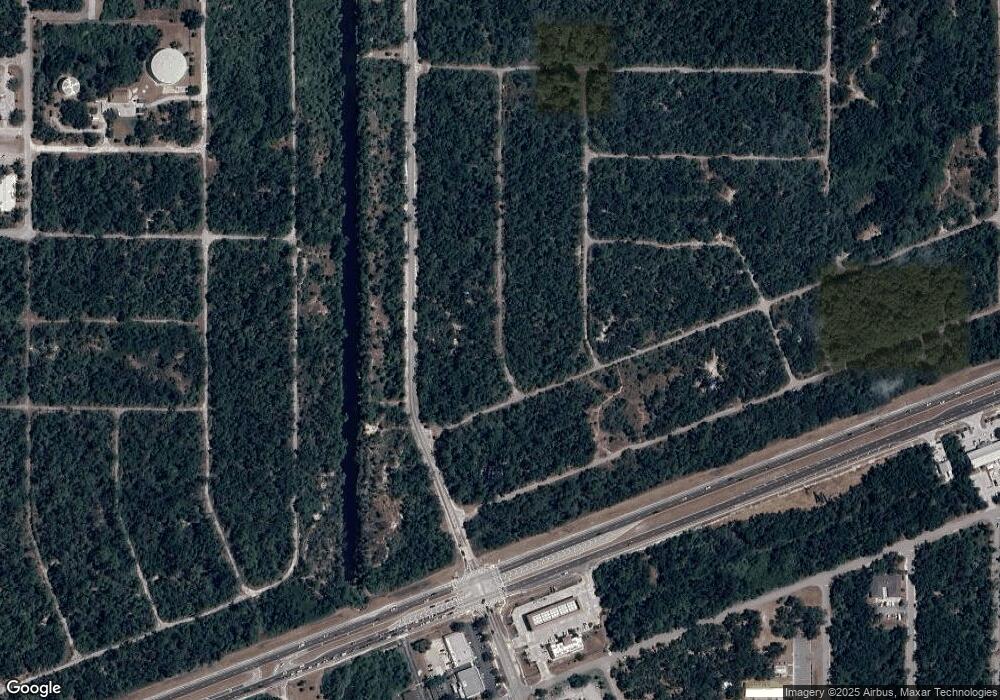
Map
Nearby Homes
- 406 Olmstead St
- 446 Olmstead St
- 399 Halloran St
- 454 Dailey St
- 462 Dailey St
- 13077 Rankin Ave
- 494 Dailey St
- 486 Dailey St
- 13085 Rankin Ave
- 13084 Harbison Ave
- 318 Halloran St
- 310 Halloran St
- 13092 Rankin Ave
- 12550 Ranch Ave
- 13093 Parham Ave
- 12551 Ranch Ave
- 13085 Harbison Ave
- 12605 Colby Ave
- 12520 Harlow Ave
- 12604 Colby Ave
- 438 Stewart St
- 13172 Rankin Ave
- 13117 and 13125 Rankin Ave
- 13060 Ransom Ave
- 407,415 & 423 Olmstead St
- 438 Dailey St
- 462 Olmstead St Unit 11
- 479 Olmstead St
- 431 Olmstead St
- 430 Olmstead St
- 391 & 399 Olmstead St
- 471 Olmstead St
- 438 Olmstead St
- 398 Olmstead St
- 446 Dailey St
- 463 Halloran St
- 13060 Harbison Ave
- 390 Olmstead St
- 471 Halloran St
- 13068 Harbison Ave