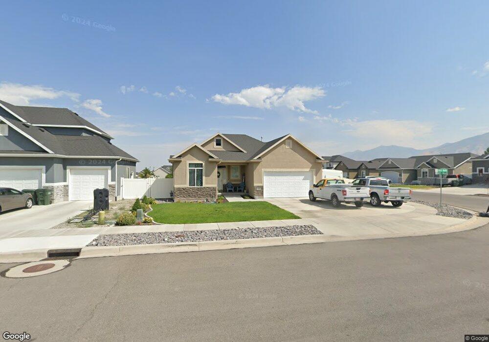
430 W 1860 N Unit 140 Tooele, UT 84074
Estimated Value: $496,000 - $531,000
3
Beds
2
Baths
3,105
Sq Ft
$163/Sq Ft
Est. Value
About This Home
This home is located at 430 W 1860 N Unit 140, Tooele, UT 84074 and is currently estimated at $507,609, approximately $163 per square foot. 430 W 1860 N Unit 140 is a home located in Tooele County with nearby schools including Overlake Elementary School, Clarke N. Johnsen Junior High School, and Stansbury High School.
Ownership History
Date
Name
Owned For
Owner Type
Purchase Details
Closed on
Jan 18, 2019
Sold by
Perry Homes Utha Inc
Bought by
Fisher Jerel L and Fisher Heather K
Current Estimated Value
Home Financials for this Owner
Home Financials are based on the most recent Mortgage that was taken out on this home.
Original Mortgage
$287,616
Outstanding Balance
$253,384
Interest Rate
4.7%
Mortgage Type
FHA
Estimated Equity
$254,225
Create a Home Valuation Report for This Property
The Home Valuation Report is an in-depth analysis detailing your home's value as well as a comparison with similar homes in the area
Home Values in the Area
Average Home Value in this Area
Purchase History
| Date | Buyer | Sale Price | Title Company |
|---|---|---|---|
| Fisher Jerel L | -- | Meridian Title Company | |
| Perry Homes Utah Inc | -- | Meridian Title Company |
Source: Public Records
Mortgage History
| Date | Status | Borrower | Loan Amount |
|---|---|---|---|
| Open | Fisher Jerel L | $287,616 |
Source: Public Records
Tax History Compared to Growth
Tax History
| Year | Tax Paid | Tax Assessment Tax Assessment Total Assessment is a certain percentage of the fair market value that is determined by local assessors to be the total taxable value of land and additions on the property. | Land | Improvement |
|---|---|---|---|---|
| 2025 | $3,093 | $469,130 | $99,875 | $369,255 |
| 2024 | $3,384 | $258,286 | $54,931 | $203,355 |
| 2023 | $3,384 | $272,922 | $52,318 | $220,604 |
| 2022 | $3,071 | $264,214 | $66,058 | $198,156 |
| 2021 | $2,631 | $189,330 | $20,732 | $168,598 |
| 2020 | $2,576 | $321,528 | $37,694 | $283,834 |
| 2019 | $1,685 | $206,896 | $37,694 | $169,202 |
| 2018 | $468 | $30,000 | $30,000 | $0 |
| 2017 | $395 | $30,000 | $30,000 | $0 |
Source: Public Records
Map
Nearby Homes
- 437 W 1910 N Unit 317
- 519 W 1960 N Unit 230
- 1913 N 370 W
- 507 W 2030 N Unit 25
- Franklin Plan at Compass Point
- Ash Plan at Compass Point
- Kennedy Plan at Compass Point
- McKinley Plan at Compass Point
- Hickory Plan at Compass Point
- Spruce Pantry Plan at Compass Point
- Holly Plan at Compass Point
- Basswood Plan at Compass Point
- Hancock Plan at Compass Point
- Harrison Plan at Compass Point
- Cedar Plan at Compass Point
- Monroe Plan at Compass Point
- Mesquite Plan at Compass Point
- Washington Plan at Compass Point
- Cleveland Plan at Compass Point
- Alpine Plan at Compass Point
- 438 W 1860 N
- 429 W 1910 N
- 454 W 1860 N
- 1874 N 425 W
- 1888 N 425 W Unit 115
- 435 W 1860 N
- 437 W 1860 N
- 1866 N 425 W Unit 117
- 1866 N 425 W
- 1896 N 425 W
- 462 W 1860 N
- 447 W 1860 N
- 421 W 1860 N Unit 118
- 421 W 1860 N
- 1908 N 425 W
- 470 W 1860 N Unit 136
- 470 W 1860 N
- 494 W 1860 N
- 432 W 1910 N Unit 142
- 432 W Dimaggio Dr