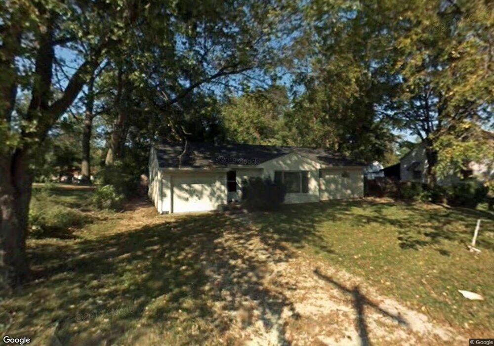
430 W 6th St Mansfield, OH 44903
Estimated Value: $69,865 - $93,000
2
Beds
1
Bath
1,281
Sq Ft
$62/Sq Ft
Est. Value
About This Home
This home is located at 430 W 6th St, Mansfield, OH 44903 and is currently estimated at $79,466, approximately $62 per square foot. 430 W 6th St is a home located in Richland County with nearby schools including Goal Digital Academy, Mansfield Elective Academy, and Interactive Media & Construction (IMAC) Academy.
Ownership History
Date
Name
Owned For
Owner Type
Purchase Details
Closed on
Oct 30, 2020
Sold by
Lawhorn Jackie and Lawhorn Alison
Bought by
Warrior Property Llc
Current Estimated Value
Home Financials for this Owner
Home Financials are based on the most recent Mortgage that was taken out on this home.
Original Mortgage
$21,200
Outstanding Balance
$18,865
Interest Rate
2.8%
Mortgage Type
Future Advance Clause Open End Mortgage
Estimated Equity
$60,601
Purchase Details
Closed on
Nov 4, 2009
Sold by
Federal Home Loan Mortgage Corporation
Bought by
Lowe Marcus D and Lowe Tomika M
Purchase Details
Closed on
Jun 1, 2009
Sold by
Stair Jeffrey J
Bought by
Federal Home Loan Mortgage Corp
Purchase Details
Closed on
Oct 1, 1986
Create a Home Valuation Report for This Property
The Home Valuation Report is an in-depth analysis detailing your home's value as well as a comparison with similar homes in the area
Home Values in the Area
Average Home Value in this Area
Purchase History
| Date | Buyer | Sale Price | Title Company |
|---|---|---|---|
| Warrior Property Llc | $26,500 | Barristers Title Group | |
| Lowe Marcus D | $12,000 | Attorney | |
| Federal Home Loan Mortgage Corp | $10,000 | None Available | |
| -- | $25,600 | -- |
Source: Public Records
Mortgage History
| Date | Status | Borrower | Loan Amount |
|---|---|---|---|
| Open | Warrior Property Llc | $21,200 |
Source: Public Records
Tax History Compared to Growth
Tax History
| Year | Tax Paid | Tax Assessment Tax Assessment Total Assessment is a certain percentage of the fair market value that is determined by local assessors to be the total taxable value of land and additions on the property. | Land | Improvement |
|---|---|---|---|---|
| 2024 | $447 | $9,340 | $2,180 | $7,160 |
| 2023 | $447 | $9,340 | $2,180 | $7,160 |
| 2022 | $426 | $7,450 | $2,110 | $5,340 |
| 2021 | $429 | $7,450 | $2,110 | $5,340 |
| 2020 | $438 | $7,450 | $2,110 | $5,340 |
| 2019 | $486 | $7,450 | $2,110 | $5,340 |
| 2018 | $479 | $7,450 | $2,110 | $5,340 |
| 2017 | $467 | $7,450 | $2,110 | $5,340 |
| 2016 | $323 | $5,000 | $3,160 | $1,840 |
| 2015 | $308 | $5,000 | $3,160 | $1,840 |
| 2014 | $304 | $5,000 | $3,160 | $1,840 |
| 2012 | $690 | $14,790 | $5,540 | $9,250 |
Source: Public Records
Map
Nearby Homes
- 237 Helen Ave
- 120 Gettings Place
- 116 Penn Ave
- 132 Sycamore St
- 406 Sherman Place
- 0 Voegele Ave Unit Lot 6048, 6049, 6
- 80 Rowland Ave
- 96 Helen Ave
- 426 Mcpherson St
- 371 Bell St
- 219 W 5th St
- 169 W 5th St
- 38 Baldwin Ave
- 37 Baldwin Ave
- 0 State Route 314 Unit 9067316
- 0 State Route 314 Unit 225021979
- 688 Mcpherson St
- 24 Stewart Ave S
- 611 Park Ave W
- 21 Glenwood Blvd