430 White Rock Rd Corsicana, TX 75109
Estimated Value: $1,101,000 - $1,441,000
--
Bed
--
Bath
4,512
Sq Ft
$287/Sq Ft
Est. Value
About This Home
This home is located at 430 White Rock Rd, Corsicana, TX 75109 and is currently estimated at $1,297,070, approximately $287 per square foot. 430 White Rock Rd is a home with nearby schools including Mildred Elementary School and Mildred High School.
Ownership History
Date
Name
Owned For
Owner Type
Purchase Details
Closed on
Aug 9, 2011
Sold by
Kujawa Rodney and Adkins Matthew
Bought by
Gilliland Daniel J and Gilliland Susan K
Current Estimated Value
Home Financials for this Owner
Home Financials are based on the most recent Mortgage that was taken out on this home.
Original Mortgage
$107,000
Outstanding Balance
$8,034
Interest Rate
4.53%
Mortgage Type
Future Advance Clause Open End Mortgage
Estimated Equity
$1,289,036
Create a Home Valuation Report for This Property
The Home Valuation Report is an in-depth analysis detailing your home's value as well as a comparison with similar homes in the area
Home Values in the Area
Average Home Value in this Area
Purchase History
| Date | Buyer | Sale Price | Title Company |
|---|---|---|---|
| Gilliland Daniel J | -- | -- |
Source: Public Records
Mortgage History
| Date | Status | Borrower | Loan Amount |
|---|---|---|---|
| Open | Gilliland Daniel J | $107,000 |
Source: Public Records
Tax History Compared to Growth
Tax History
| Year | Tax Paid | Tax Assessment Tax Assessment Total Assessment is a certain percentage of the fair market value that is determined by local assessors to be the total taxable value of land and additions on the property. | Land | Improvement |
|---|---|---|---|---|
| 2025 | $13,584 | $881,535 | $211,700 | $1,195,650 |
| 2024 | $13,567 | $880,445 | $211,700 | $1,215,680 |
| 2023 | $10,442 | $728,541 | $211,700 | $710,020 |
| 2022 | $11,120 | $700,360 | $117,610 | $582,750 |
| 2021 | $11,711 | $602,100 | $117,610 | $484,490 |
| 2020 | $12,218 | $602,100 | $117,610 | $484,490 |
| 2019 | $12,279 | $573,340 | $47,050 | $526,290 |
| 2018 | $11,639 | $573,340 | $47,050 | $526,290 |
| 2017 | $11,619 | $573,340 | $47,050 | $526,290 |
| 2016 | $11,989 | $591,590 | $82,500 | $509,090 |
| 2015 | -- | $671,550 | $125,000 | $546,550 |
| 2014 | -- | $671,550 | $125,000 | $546,550 |
Source: Public Records
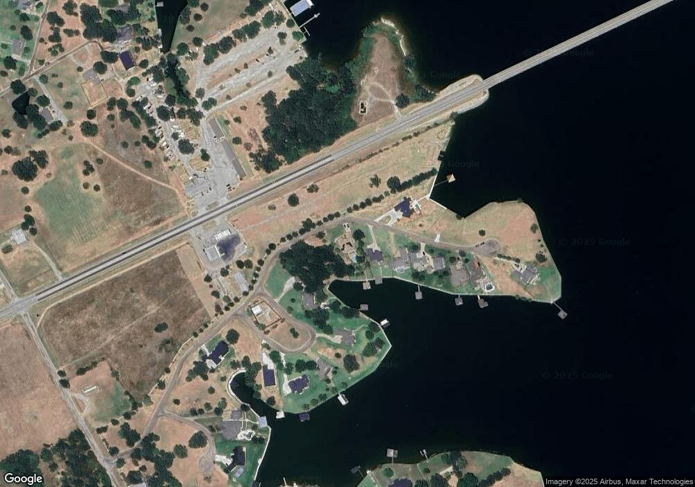
Map
Nearby Homes
- Lot 35 White Rock Rd
- 2 Acres +/- SE County Road 3186
- 3001 Rock Rd
- Lot 2-R Moonlight Point
- 0 Shady Ln
- 122 Moonlight Point
- 9900 Northshore Blvd Unit 3307
- 9900 Northshore Blvd Unit 3105
- Lot 618 Spur 294
- Lot 602 Clear Water Ct
- TBD Cowboy Dr
- 9820 S Us Highway 287
- 9820 Highway 287
- Lot 301 Cowboy Dr
- 110 SE Private Road 3178
- TBD SE Private Road 3178
- Lot 269 SE Private Road 3178
- Lot 289 SE Private Road 3178
- Lot 287 SE Private Road 3178
- Lot 411 Sailboat Dr
- 440 White Rock Rd
- 452 White Rock Rd
- 445 White Rock Rd
- 458 White Rock Rd
- 148 Bayview Cir
- 148 Bayview Cir
- L 18 Bayview Cir
- TBD Lot35 White Rock
- L 12 Bayview Cir
- Lot 11 Bayview Cir
- Lot 12 Bayview Cir
- L 16 Bayview Cir
- 18 Bayview Cir
- Lot 14 Bayview Cir
- 11 Bayview Cir
- 18 Bayview Cir
- L 11 Bayview Cir
- 132 Bayview Cir Unit 18
- 132 Bayview Cir Unit 17
- 470 White Rock Rd