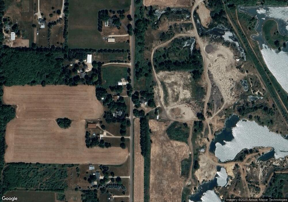
4300 N Airport Rd Saint Johns, MI 48879
Estimated Value: $233,000
--
Bed
1
Bath
1,775
Sq Ft
$131/Sq Ft
Est. Value
About This Home
This home is located at 4300 N Airport Rd, Saint Johns, MI 48879 and is currently priced at $233,000, approximately $131 per square foot. 4300 N Airport Rd is a home located in Clinton County with nearby schools including St. Johns High School.
Ownership History
Date
Name
Owned For
Owner Type
Purchase Details
Closed on
Nov 14, 2022
Sold by
Pope Russ
Bought by
E Russell Pope Revocable Living Trust
Current Estimated Value
Purchase Details
Closed on
Oct 27, 2022
Sold by
Searles Leon D
Bought by
Pope Russ
Purchase Details
Closed on
Oct 15, 2012
Sold by
Birchmeier Marybeth
Bought by
Searles Leon D
Purchase Details
Closed on
Oct 15, 2004
Sold by
Miller Leon F
Bought by
Searies Leon D
Create a Home Valuation Report for This Property
The Home Valuation Report is an in-depth analysis detailing your home's value as well as a comparison with similar homes in the area
Home Values in the Area
Average Home Value in this Area
Purchase History
| Date | Buyer | Sale Price | Title Company |
|---|---|---|---|
| E Russell Pope Revocable Living Trust | -- | -- | |
| Pope Russ | $73,000 | Ata National Title Group | |
| Searles Leon D | $270,000 | Midstate Title Agency Llc | |
| Searies Leon D | -- | Fatic |
Source: Public Records
Tax History Compared to Growth
Tax History
| Year | Tax Paid | Tax Assessment Tax Assessment Total Assessment is a certain percentage of the fair market value that is determined by local assessors to be the total taxable value of land and additions on the property. | Land | Improvement |
|---|---|---|---|---|
| 2023 | $710 | $88,400 | $40,900 | $47,500 |
| 2022 | $3,371 | $92,200 | $42,200 | $50,000 |
| 2021 | $3,269 | $88,400 | $40,900 | $47,500 |
| 2020 | $3,192 | $75,400 | $33,000 | $42,400 |
| 2019 | $3,006 | $72,200 | $32,900 | $39,300 |
| 2018 | $2,936 | $70,900 | $32,900 | $38,000 |
| 2017 | $2,846 | $70,800 | $32,900 | $37,900 |
| 2016 | -- | $66,300 | $32,900 | $33,400 |
| 2015 | -- | $66,800 | $0 | $0 |
| 2011 | -- | $68,800 | $0 | $0 |
Source: Public Records
Map
Nearby Homes
- 0 W Colony Unit 286993
- 5233 Paxton Rd
- 5550 Paxton Rd
- 0 V/L W Colony Rd
- 1630 W Kinley Rd
- 3445 W County Line Rd
- The Claire Plan at Fieldstone Village
- The Lilly Plan at Fieldstone Village
- 4841 N Essex Center Rd
- 905 N Lansing St
- 606 W Gibbs St
- 608 N Morton St
- 823 N Lansing St
- 505 Euclid St
- 715 N Clinton Ave
- 800 W State St
- 1021 Randy Ln Unit 34
- 812 W Cass St
- 912 Randy Ln Unit 6
- 4063 N Williams Rd
- 4343 N Airport Rd
- 4241 N Airport Rd
- 4203 N Airport Rd
- 4323 N Airport Rd
- 4425 N Airport Rd
- 4137 N Airport Rd
- 4089 N Airport Rd
- 4125 Paxton Rd
- 4600 N Airport Rd
- 4069 N Airport Rd
- 4177 Paxton Rd
- 4048 W Colony Rd
- 4237 Paxton Rd
- 4110 W Colony Rd
- 4172 W Colony Rd
- 4230 W Colony Rd
- 3896 Banner Rd
- 3765 W Colony Rd
- 3510 W Colony Rd
- 3830 Banner Rd
