4300 Security Pkwy New Albany, IN 47150
--
Bed
--
Bath
21,000
Sq Ft
2.96
Acres
About This Home
This home is located at 4300 Security Pkwy, New Albany, IN 47150. 4300 Security Pkwy is a home located in Floyd County with nearby schools including Grant Line School, Nathaniel Scribner Middle School, and New Albany Senior High School.
Ownership History
Date
Name
Owned For
Owner Type
Purchase Details
Closed on
Oct 17, 2008
Sold by
Lukemeier Mary E and Lukemeier Louis H
Bought by
Bj Limited Holding Llc
Home Financials for this Owner
Home Financials are based on the most recent Mortgage that was taken out on this home.
Original Mortgage
$650,000
Interest Rate
5.73%
Mortgage Type
Commercial
Create a Home Valuation Report for This Property
The Home Valuation Report is an in-depth analysis detailing your home's value as well as a comparison with similar homes in the area
Home Values in the Area
Average Home Value in this Area
Purchase History
| Date | Buyer | Sale Price | Title Company |
|---|---|---|---|
| Bj Limited Holding Llc | -- | None Available |
Source: Public Records
Mortgage History
| Date | Status | Borrower | Loan Amount |
|---|---|---|---|
| Open | Bj Limited Holdings Llc | $1,000,000 | |
| Closed | Bj Limited Holdings Llc | $1,062,000 | |
| Closed | Bj Limited Holding Llc | $650,000 | |
| Previous Owner | Lukemeler Mary E | $113,941 | |
| Previous Owner | Lukemeie Mary E | $100,000 |
Source: Public Records
Tax History Compared to Growth
Tax History
| Year | Tax Paid | Tax Assessment Tax Assessment Total Assessment is a certain percentage of the fair market value that is determined by local assessors to be the total taxable value of land and additions on the property. | Land | Improvement |
|---|---|---|---|---|
| 2024 | $77,357 | $1,049,200 | $153,000 | $896,200 |
| 2023 | $77,357 | $1,219,000 | $153,000 | $1,066,000 |
| 2022 | $35,680 | $1,230,900 | $153,000 | $1,077,900 |
| 2021 | $32,825 | $1,126,700 | $153,000 | $973,700 |
| 2020 | $35,100 | $1,234,700 | $153,000 | $1,081,700 |
| 2019 | $33,988 | $1,234,700 | $153,000 | $1,081,700 |
| 2018 | $30,862 | $1,114,300 | $153,000 | $961,300 |
| 2017 | $64,301 | $1,315,100 | $153,000 | $1,162,100 |
| 2016 | $42,451 | $1,302,400 | $153,000 | $1,149,400 |
| 2014 | $35,995 | $1,272,400 | $153,000 | $1,119,400 |
| 2013 | -- | $1,234,400 | $153,000 | $1,081,400 |
Source: Public Records
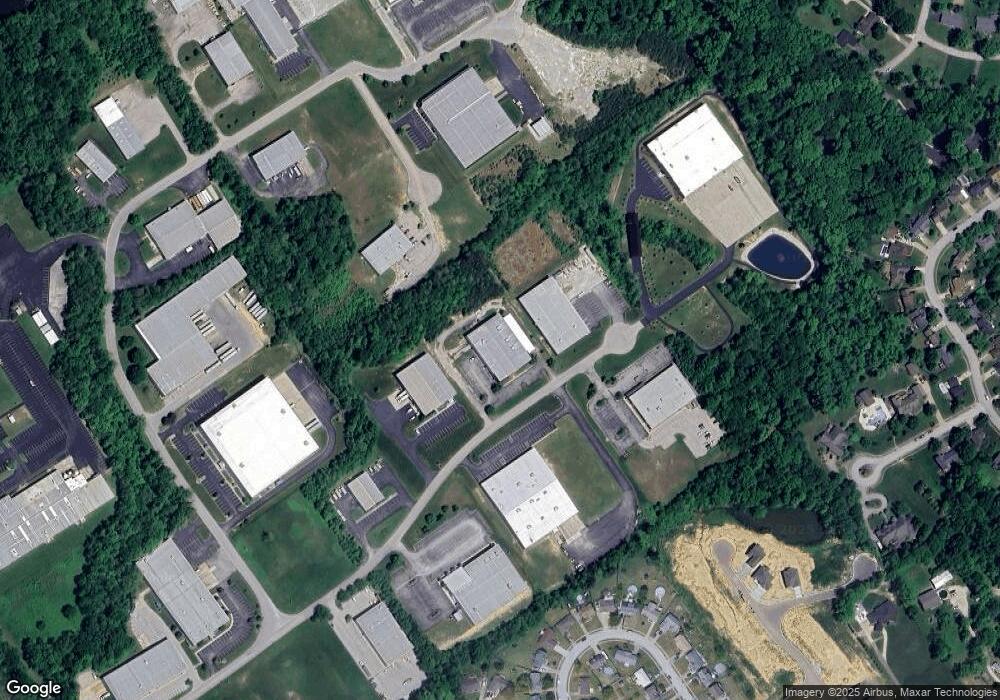
Map
Nearby Homes
- 4216 - LOT 130 Skylar Way
- 4509 Chris Ct
- Dogwood Plan at Kamer Crossing
- Holly Plan at Kamer Crossing
- Maple Plan at Kamer Crossing
- Haylyn 48' Plan at Kamer Crossing
- Juliana Plan at Kamer Crossing
- Willow Plan at Kamer Crossing
- 5307 Grant Line Rd
- 1111 Teal Ridge Ct
- 4834 Ashbury Dr
- 3920 Windsor Creek Dr
- 510 Payne Rd
- 3941 Carver St
- 4203 Treesdale Dr
- 4724 Timber Pine Dr Unit 100
- 4722 Timber Pine Dr Unit 99
- 3829 Fiske Ave
- 4724 Black Pine Blvd Unit 73
- 3810 Wayne St
- 4347 Security Pkwy
- 4343 Security Pkwy
- 4232 Glenbrook E
- 4230 Glenbrook E
- 4234 Glenbrook E
- 4236 Glenbrook E
- 4239 Glenbrook W
- 4103 Foundation Blvd
- 4228 Glenbrook E
- 4237 Glenbrook W
- 6000 Foundation Blvd
- 4226 Glenbrook E
- 4229 Glenbrook E
- 4231 Glenbrook E
- 4235 Glenbrook W
- 4236 Linnert Ct
- 4234 Linnert Ct
- 4228 Glenbrook W
- 4224 Glenbrook E
- 4233 Glenbrook W