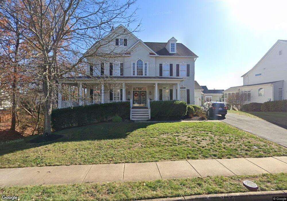
43009 Running Ridge Way Leesburg, VA 20176
Estimated Value: $1,233,000 - $1,352,000
5
Beds
6
Baths
4,307
Sq Ft
$298/Sq Ft
Est. Value
About This Home
This home is located at 43009 Running Ridge Way, Leesburg, VA 20176 and is currently estimated at $1,285,511, approximately $298 per square foot. 43009 Running Ridge Way is a home located in Loudoun County with nearby schools including Ball's Bluff Elementary School, Harper Park Middle School, and Heritage High School.
Ownership History
Date
Name
Owned For
Owner Type
Purchase Details
Closed on
Apr 17, 2001
Sold by
Coscan Washington Inc
Bought by
Brown Roy G
Current Estimated Value
Home Financials for this Owner
Home Financials are based on the most recent Mortgage that was taken out on this home.
Original Mortgage
$484,500
Outstanding Balance
$177,009
Interest Rate
6.9%
Estimated Equity
$1,108,502
Create a Home Valuation Report for This Property
The Home Valuation Report is an in-depth analysis detailing your home's value as well as a comparison with similar homes in the area
Home Values in the Area
Average Home Value in this Area
Purchase History
| Date | Buyer | Sale Price | Title Company |
|---|---|---|---|
| Brown Roy G | $570,980 | -- |
Source: Public Records
Mortgage History
| Date | Status | Borrower | Loan Amount |
|---|---|---|---|
| Open | Brown Roy G | $484,500 |
Source: Public Records
Tax History Compared to Growth
Tax History
| Year | Tax Paid | Tax Assessment Tax Assessment Total Assessment is a certain percentage of the fair market value that is determined by local assessors to be the total taxable value of land and additions on the property. | Land | Improvement |
|---|---|---|---|---|
| 2025 | $9,484 | $1,178,130 | $300,300 | $877,830 |
| 2024 | $8,866 | $1,024,950 | $280,300 | $744,650 |
| 2023 | $8,572 | $979,710 | $280,300 | $699,410 |
| 2022 | $8,288 | $931,240 | $220,300 | $710,940 |
| 2021 | $7,700 | $785,720 | $200,300 | $585,420 |
| 2020 | $7,718 | $745,690 | $180,300 | $565,390 |
| 2019 | $7,520 | $719,580 | $180,300 | $539,280 |
| 2018 | $7,366 | $678,880 | $180,300 | $498,580 |
| 2017 | $7,331 | $651,670 | $180,300 | $471,370 |
| 2016 | $7,527 | $657,350 | $0 | $0 |
| 2015 | $7,557 | $485,480 | $0 | $485,480 |
| 2014 | $7,724 | $518,480 | $0 | $518,480 |
Source: Public Records
Map
Nearby Homes
- 18465 Sugar Snap Cir
- 18461 Sugar Snap Cir
- 18473 Sugar Snap Cir
- 18445 Sugar Snap Cir
- 18477 Sugar Snap Cir
- 18546 Sugar Snap Cir
- 18437 Sugar Snap Cir
- 18444 Sugar Snap Cir
- 18440 Sugar Snap Cir
- 18280 Battlefield Crossing Ln
- 18429 Sugar Snap Cir
- 18362 Chutnee Run Dr
- 18281 Battlefield Crossing Ln
- 18278 Cresswell Rest Ln
- 18338 Chutnee Run Dr
- 18282 Cresswell Rest Ln
- 18283 Cresswell Rest Ln
- 18334 Chutnee Run Dr
- 18279 Cresswell Rest Ln
- 42871 Robins Perch Terrace
- 43013 Running Ridge Way
- 43016 Falls Overlook Ct
- 43020 Falls Overlook Ct
- 43008 Running Ridge Way
- 43004 Running Ridge Way
- 43001 Running Ridge Way
- 43017 Running Ridge Way
- 43046 Northlake Blvd
- 43051 Waters Overlook Ct
- 43059 Waters Overlook Ct
- 43030 Northlake Blvd
- 43039 Waters Overlook Ct
- 42993 Mill Park Ct
- 43055 Waters Overlook Ct
- 0 Running Spring Ct Unit PRESCOTT VALO396374
- 43031 Waters Overlook Ct
- 42989 Mill Park Ct
- 43063 Waters Overlook Ct
- 42997 Mill Park Ct
- 43017 Falls Overlook Ct