4301 Queens Way Kunkletown, PA 18058
Estimated Value: $479,000 - $787,416
4
Beds
4
Baths
3,950
Sq Ft
$153/Sq Ft
Est. Value
About This Home
This home is located at 4301 Queens Way, Kunkletown, PA 18058 and is currently estimated at $604,854, approximately $153 per square foot. 4301 Queens Way is a home located in Monroe County with nearby schools including Pleasant Valley Elementary School, Pleasant Valley Intermediate School, and Pleasant Valley Middle School.
Ownership History
Date
Name
Owned For
Owner Type
Purchase Details
Closed on
Sep 5, 2024
Sold by
Berry Stephen D and Berry Cheryl A
Bought by
Berry Stephen D and Berry Cheryl A
Current Estimated Value
Purchase Details
Closed on
Sep 2, 2011
Sold by
The First National Bank Of Palmerton
Bought by
Berry Stephen D and Berry Cheryl A
Purchase Details
Closed on
Jan 10, 2010
Sold by
Cameron Donald G and Cameron Cindy L
Bought by
The First National Bank Of Palmerton
Create a Home Valuation Report for This Property
The Home Valuation Report is an in-depth analysis detailing your home's value as well as a comparison with similar homes in the area
Home Values in the Area
Average Home Value in this Area
Purchase History
| Date | Buyer | Sale Price | Title Company |
|---|---|---|---|
| Berry Stephen D | -- | None Listed On Document | |
| Berry Stephen D | -- | None Listed On Document | |
| Berry Stephen D | $215,000 | None Available | |
| The First National Bank Of Palmerton | -- | None Available |
Source: Public Records
Tax History Compared to Growth
Tax History
| Year | Tax Paid | Tax Assessment Tax Assessment Total Assessment is a certain percentage of the fair market value that is determined by local assessors to be the total taxable value of land and additions on the property. | Land | Improvement |
|---|---|---|---|---|
| 2025 | $1,892 | $353,310 | $85,970 | $267,340 |
| 2024 | $1,343 | $353,340 | $86,000 | $267,340 |
| 2023 | $8,324 | $353,340 | $86,000 | $267,340 |
| 2022 | $8,083 | $353,340 | $86,000 | $267,340 |
| 2021 | $9,550 | $292,230 | $24,890 | $267,340 |
| 2020 | $7,571 | $292,230 | $24,890 | $267,340 |
| 2019 | $9,059 | $51,670 | $1,360 | $50,310 |
| 2018 | $8,955 | $51,670 | $1,360 | $50,310 |
| 2017 | $8,955 | $51,670 | $1,360 | $50,310 |
| 2016 | $1,320 | $51,670 | $1,360 | $50,310 |
| 2015 | -- | $51,680 | $1,360 | $50,320 |
| 2014 | -- | $51,680 | $1,360 | $50,320 |
Source: Public Records
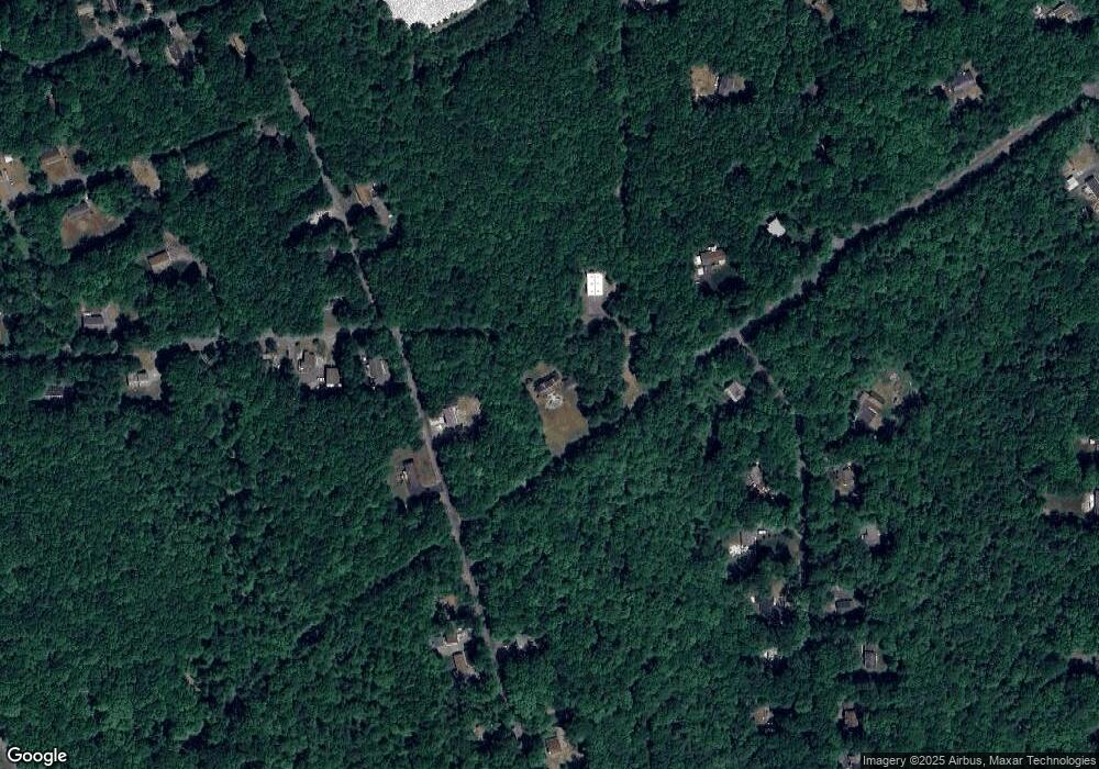
Map
Nearby Homes
- W14 Greenwood Dr
- Lot K15 Lincoln Green Dr K15
- 217 Lower Valley Dr
- 4689 Buck Ln
- 687 Dotters Corner Rd
- 1619 Sugar Ln
- 8743 Sherwood Dr
- 500 Sumac Ct
- R12 Robinhood Dr
- 8749 W Kings Way
- 9153 Robinhood Dr
- 113 Acorn Ln
- 3 Tioga Dr
- 134 Poplar Ln
- 1116 Dr
- 179 El Do Lake Dr
- 4167 Forest Dr
- 9064 Robinhood Dr
- 9081 Sherwood Dr
- 148 Acorn Ln
- 8431 Queens Way
- 4300 Greenwood Dr
- 0 Greenwood Dr
- W6 Greenwood Dr
- 6 Greenwood Dr
- 52 Greenwood Dr
- M23 Greenwood Dr
- 4259 Greenwood Dr
- 8545 Lincoln Green Dr
- 263 Lower Valley Dr
- Q33 Queens Way
- 25 Lower Valley Dr
- Q68 Queens Way
- Q32 Queens Way
- 253 Lower Valley Dr
- 253 Lower Valley Rd
- 253 AKA 32 Lower Valley Dr
- 8564 Lincoln Green Dr
- Q31 Queens Way
- 1966 Rr 1