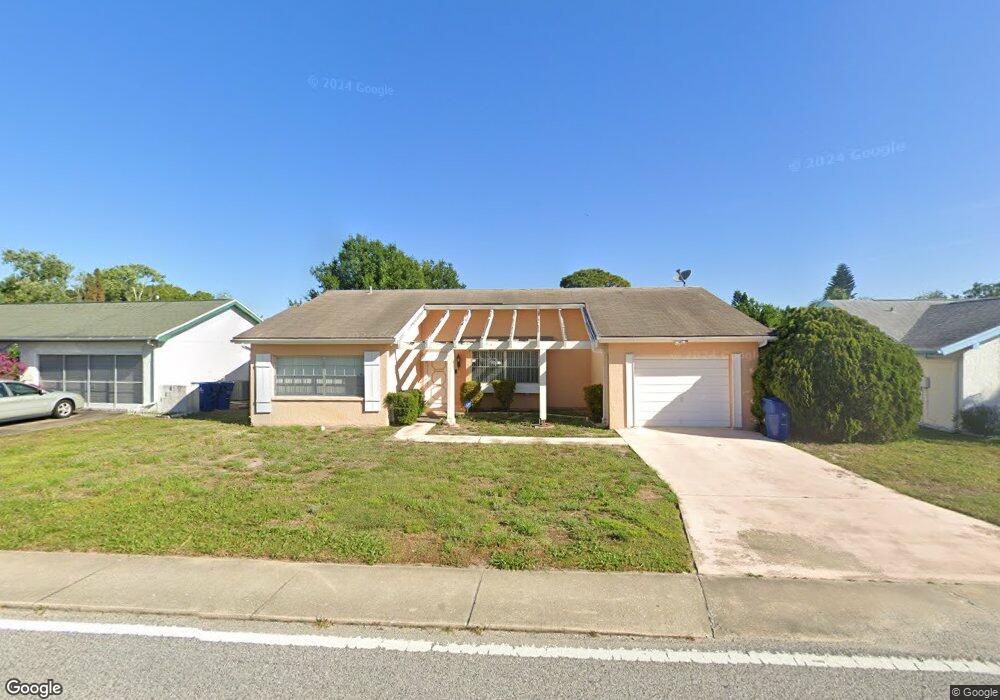
4301 Sail Dr New Port Richey, FL 34652
Estimated Value: $226,000 - $286,000
2
Beds
2
Baths
1,920
Sq Ft
$132/Sq Ft
Est. Value
About This Home
This home is located at 4301 Sail Dr, New Port Richey, FL 34652 and is currently estimated at $252,560, approximately $131 per square foot. 4301 Sail Dr is a home located in Pasco County with nearby schools including Mittye P. Locke Elementary School, Gulf Trace Elementary School, and Paul R. Smith Middle School.
Ownership History
Date
Name
Owned For
Owner Type
Purchase Details
Closed on
Aug 27, 2018
Sold by
Vonstaden Ella Von
Bought by
Thatcher Lucinda M and Thatcher Don
Current Estimated Value
Purchase Details
Closed on
Mar 23, 2012
Sold by
Loori Theresa
Bought by
Vonstaden Ella
Purchase Details
Closed on
Jul 12, 2004
Sold by
Loori Theresa
Bought by
Loori Theresa and Theresa Loori Revocable Living Trust
Purchase Details
Closed on
May 17, 2001
Sold by
Shalkop Norma
Bought by
Loori Edward and Loori Theresa
Purchase Details
Closed on
Mar 20, 2001
Sold by
Vetter Jack F
Bought by
Shalkop Norma
Create a Home Valuation Report for This Property
The Home Valuation Report is an in-depth analysis detailing your home's value as well as a comparison with similar homes in the area
Home Values in the Area
Average Home Value in this Area
Purchase History
| Date | Buyer | Sale Price | Title Company |
|---|---|---|---|
| Thatcher Lucinda M | -- | Attorney | |
| Vonstaden Ella | $76,000 | Florida Intrastate Title Llc | |
| Loori Theresa | -- | -- | |
| Loori Edward | $50,000 | -- | |
| Shalkop Norma | -- | -- |
Source: Public Records
Tax History Compared to Growth
Tax History
| Year | Tax Paid | Tax Assessment Tax Assessment Total Assessment is a certain percentage of the fair market value that is determined by local assessors to be the total taxable value of land and additions on the property. | Land | Improvement |
|---|---|---|---|---|
| 2025 | $3,908 | $257,992 | $41,558 | $216,434 |
| 2024 | $3,908 | $276,421 | $41,558 | $234,863 |
| 2023 | $3,604 | $164,920 | $0 | $0 |
| 2022 | $2,855 | $202,038 | $21,698 | $180,340 |
| 2021 | $2,455 | $149,145 | $21,147 | $127,998 |
| 2020 | $2,178 | $123,915 | $19,939 | $103,976 |
| 2019 | $2,188 | $123,175 | $19,939 | $103,236 |
| 2018 | $1,655 | $112,429 | $19,939 | $92,490 |
| 2017 | $1,440 | $84,785 | $15,139 | $69,646 |
| 2016 | $1,222 | $65,032 | $15,139 | $49,893 |
| 2015 | $1,132 | $57,198 | $15,139 | $42,059 |
| 2014 | $1,075 | $55,338 | $15,139 | $40,199 |
Source: Public Records
Map
Nearby Homes
- 4245 Crestfield Ave
- 3845 Edgemont Dr
- 3847 Lighthouse Way
- 4424 Pelorus Dr
- 3902 Glissade Dr
- 4423 Pelorus Dr Unit B
- 3862 Lighthouse Way
- 4142 Crestfield Ave
- 3704 Oakhurst Dr
- 3832 Lanyard Ct
- 4243 Stratfield Dr
- 3838 Lanyard Ct Unit B
- 4209 Stratfield Dr
- 4446 Chart Ct
- 4202 Craftsbury Dr
- 4025 Sail Dr
- 3926 Lighthouse Way Unit A
- 3709 Kimberly Oaks Dr
- 4111 Stratfield Dr
- 4016 Grayton Dr