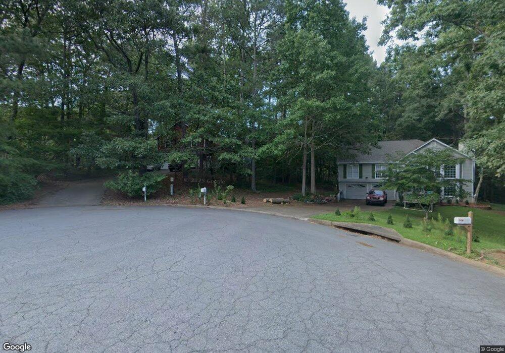
4301 Sherry Ln Canton, GA 30114
Estimated Value: $366,000 - $409,000
3
Beds
2
Baths
1,928
Sq Ft
$203/Sq Ft
Est. Value
About This Home
This home is located at 4301 Sherry Ln, Canton, GA 30114 and is currently estimated at $390,454, approximately $202 per square foot. 4301 Sherry Ln is a home located in Cherokee County with nearby schools including Sixes Elementary School, Freedom Middle School, and Woodstock High School.
Ownership History
Date
Name
Owned For
Owner Type
Purchase Details
Closed on
May 5, 1999
Sold by
Nail Daniel A
Bought by
Nail Patricia D
Current Estimated Value
Purchase Details
Closed on
Feb 1, 1994
Sold by
Roach Robert
Bought by
Nail Daniel A Patricia
Home Financials for this Owner
Home Financials are based on the most recent Mortgage that was taken out on this home.
Original Mortgage
$93,000
Interest Rate
7.1%
Create a Home Valuation Report for This Property
The Home Valuation Report is an in-depth analysis detailing your home's value as well as a comparison with similar homes in the area
Home Values in the Area
Average Home Value in this Area
Purchase History
| Date | Buyer | Sale Price | Title Company |
|---|---|---|---|
| Nail Patricia D | -- | -- | |
| Nail Daniel A Patricia | $116,300 | -- |
Source: Public Records
Mortgage History
| Date | Status | Borrower | Loan Amount |
|---|---|---|---|
| Previous Owner | Nail Daniel A Patricia | $93,000 |
Source: Public Records
Tax History Compared to Growth
Tax History
| Year | Tax Paid | Tax Assessment Tax Assessment Total Assessment is a certain percentage of the fair market value that is determined by local assessors to be the total taxable value of land and additions on the property. | Land | Improvement |
|---|---|---|---|---|
| 2025 | $707 | $146,896 | $24,000 | $122,896 |
| 2024 | $683 | $132,656 | $24,000 | $108,656 |
| 2023 | $554 | $136,056 | $24,000 | $112,056 |
| 2022 | $635 | $107,536 | $24,000 | $83,536 |
| 2021 | $624 | $90,196 | $17,600 | $72,596 |
| 2020 | $597 | $82,412 | $17,600 | $64,812 |
| 2019 | $580 | $77,880 | $16,800 | $61,080 |
| 2018 | $577 | $74,360 | $15,200 | $59,160 |
| 2017 | $560 | $165,900 | $14,000 | $52,360 |
| 2016 | $559 | $154,100 | $14,000 | $47,640 |
| 2015 | $553 | $146,100 | $14,000 | $44,440 |
| 2014 | $491 | $129,900 | $14,000 | $37,960 |
Source: Public Records
Map
Nearby Homes
- 346 Wells Cir
- 3161 Marble Quarry Rd
- 1302 Sixes Rd
- 279 Wells Cir
- 1415 Sixes Rd
- 203 Brookhaven Place
- 104 Kremer Falls Trace
- 104 Kremer Falls Trc
- 1320 Transart Pkwy
- 663 Transart Pkwy
- 417 Crestmont Ln
- 206 Sawtooth Ct
- 1000 Rabbit Hill Rd
- 421 Crestmont Ln
- 208 Sawtooth Ct
- 484 Crestmont Ln
- 200 Waterford Falls Dr
- 4270 Sherry Ln
- 2977 Mountain Brook Rd
- 0 Sherry Ln Unit 8491180
- 0 Sherry Ln Unit 3163732
- 0 Sherry Ln Unit 7121225
- 55 Kathy Ct
- 2959 Mountain Brook Rd
- 4295 Sherry Ln
- 35 Kathy Ct
- 2991 Mountain Brook Rd Unit 1
- 4240 Sherry Ln
- 2941 Mountain Brook Rd
- 4271 Sherry Ln
- 4291 Sherry Ln
- 0 Kathy Ct Unit 3265317
- 0 Kathy Ct
- 4251 Sherry Ln
- 50 Kathy Ct
- 30 Kathy Ct
- 621 Cove Rd