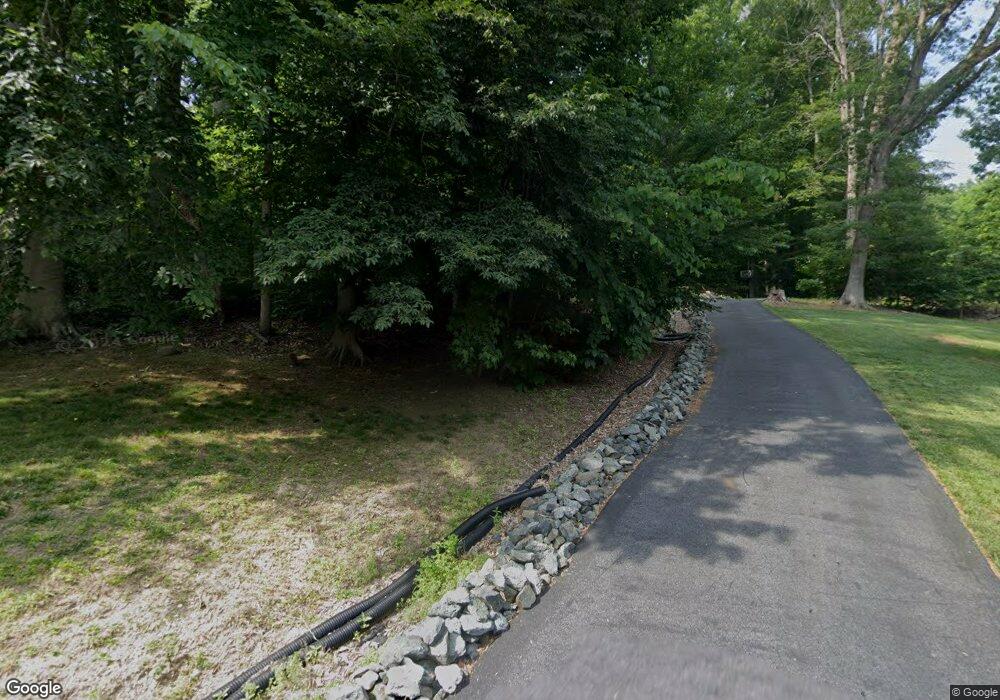
4302 Rousbys Run West River, MD 20778
Harwood NeighborhoodEstimated Value: $636,000 - $752,000
4
Beds
3
Baths
1,934
Sq Ft
$360/Sq Ft
Est. Value
About This Home
This home is located at 4302 Rousbys Run, West River, MD 20778 and is currently estimated at $695,572, approximately $359 per square foot. 4302 Rousbys Run is a home located in Anne Arundel County with nearby schools including Lothian Elementary School, Southern Middle School, and Southern High School.
Ownership History
Date
Name
Owned For
Owner Type
Purchase Details
Closed on
Dec 9, 2010
Sold by
Lesage Teresa
Bought by
Worthington Linda D
Current Estimated Value
Home Financials for this Owner
Home Financials are based on the most recent Mortgage that was taken out on this home.
Original Mortgage
$351,000
Outstanding Balance
$232,017
Interest Rate
4.23%
Mortgage Type
New Conventional
Estimated Equity
$463,555
Purchase Details
Closed on
Mar 28, 2005
Sold by
Mattox David R
Bought by
Lesage Teresa and Lesage Timothy
Home Financials for this Owner
Home Financials are based on the most recent Mortgage that was taken out on this home.
Original Mortgage
$460,000
Interest Rate
5.12%
Mortgage Type
Adjustable Rate Mortgage/ARM
Create a Home Valuation Report for This Property
The Home Valuation Report is an in-depth analysis detailing your home's value as well as a comparison with similar homes in the area
Home Values in the Area
Average Home Value in this Area
Purchase History
| Date | Buyer | Sale Price | Title Company |
|---|---|---|---|
| Worthington Linda D | $390,000 | -- | |
| Lesage Teresa | $575,000 | -- |
Source: Public Records
Mortgage History
| Date | Status | Borrower | Loan Amount |
|---|---|---|---|
| Open | Worthington Linda D | $351,000 | |
| Previous Owner | Lesage Teresa | $460,000 |
Source: Public Records
Tax History Compared to Growth
Tax History
| Year | Tax Paid | Tax Assessment Tax Assessment Total Assessment is a certain percentage of the fair market value that is determined by local assessors to be the total taxable value of land and additions on the property. | Land | Improvement |
|---|---|---|---|---|
| 2025 | $6,521 | $566,400 | -- | -- |
| 2024 | $6,521 | $548,500 | $0 | $0 |
| 2023 | $6,349 | $530,600 | $252,900 | $277,700 |
| 2022 | $5,954 | $525,867 | $0 | $0 |
| 2021 | $11,710 | $521,133 | $0 | $0 |
| 2020 | $5,720 | $516,400 | $227,900 | $288,500 |
| 2019 | $5,624 | $507,367 | $0 | $0 |
| 2018 | $5,053 | $498,333 | $0 | $0 |
| 2017 | $5,290 | $489,300 | $0 | $0 |
| 2016 | -- | $472,133 | $0 | $0 |
| 2015 | -- | $454,967 | $0 | $0 |
| 2014 | -- | $437,800 | $0 | $0 |
Source: Public Records
Map
Nearby Homes
- 204 Three Rivers Rd
- 385 Mill Swamp Rd
- 4873 Anchors Way
- 946 Benning Rd
- Lot 2 Benning Rd
- 21 Treiber Ln
- 3508 Marthas Vineyard Way
- 0 Riverside Dr Unit B43 MDAA2117960
- 0 Riverside Dr Unit C4 MDAA2119968
- 4320 Solomons Island Rd
- 13 Jessie Rd
- 9 Solitude Ct
- 1133 Steamboat Rd
- 114 Jordan Taylor Ln
- 4907 Quince St
- 6512 Shady Side Rd
- 4938 Rullman Rd
- 6508 Shady Side Rd
- 676 Plantation Blvd
- 4900 Thomas Dr
- 4304 Rousbys Run
- 4300 Rousbys Run
- 4306 Rousbys Run
- 4300 Tenthouse Ct
- 4301 Tenthouse Ct
- 4302 Tenthouse Ct
- 4313 Owensbrooke Ct
- 4303 Tenthouse Ct
- 4317 Owensbrooke Ct
- 4310 Charles Gift Ct
- 4304 Tenthouse Ct
- 4305 Tenthouse Ct
- 4312 Charles Gift Ct
- 4308 Charles Gift Ct
- 4314 Owensbrooke Ct
- 4321 Owensbrooke Ct
- 4307 Tenthouse Ct
- 4316 Owensbrooke Ct
- 4306 Tenthouse Ct
- 4325 Owensbrooke Ct
