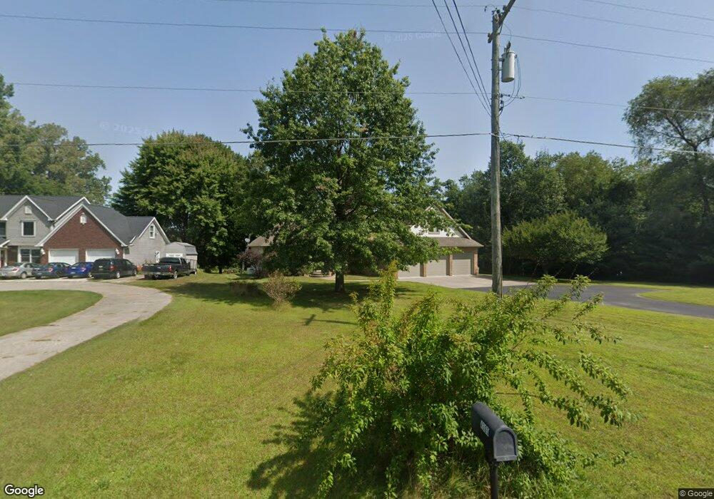
4304 Atkins Rd Port Huron, MI 48060
Estimated Value: $478,000 - $611,000
4
Beds
3
Baths
2,419
Sq Ft
$216/Sq Ft
Est. Value
About This Home
This home is located at 4304 Atkins Rd, Port Huron, MI 48060 and is currently estimated at $523,632, approximately $216 per square foot. 4304 Atkins Rd is a home located in St. Clair County with nearby schools including Michigamme Elementary School, Central Middle School, and Port Huron High School.
Ownership History
Date
Name
Owned For
Owner Type
Purchase Details
Closed on
Dec 23, 2014
Sold by
Ropposch Thomas
Bought by
Karolyn F Berry Living Trust
Current Estimated Value
Home Financials for this Owner
Home Financials are based on the most recent Mortgage that was taken out on this home.
Original Mortgage
$200,000
Outstanding Balance
$66,473
Interest Rate
3.13%
Mortgage Type
New Conventional
Estimated Equity
$457,159
Purchase Details
Closed on
Sep 24, 2014
Sold by
Deachin Donald P and Deachin Mary Francis
Bought by
Ropposch Thomas
Create a Home Valuation Report for This Property
The Home Valuation Report is an in-depth analysis detailing your home's value as well as a comparison with similar homes in the area
Home Values in the Area
Average Home Value in this Area
Purchase History
| Date | Buyer | Sale Price | Title Company |
|---|---|---|---|
| Karolyn F Berry Living Trust | $250,000 | Huron Title Company | |
| Ropposch Thomas | $250,000 | None Available |
Source: Public Records
Mortgage History
| Date | Status | Borrower | Loan Amount |
|---|---|---|---|
| Open | Karolyn F Berry Living Trust | $200,000 |
Source: Public Records
Tax History Compared to Growth
Tax History
| Year | Tax Paid | Tax Assessment Tax Assessment Total Assessment is a certain percentage of the fair market value that is determined by local assessors to be the total taxable value of land and additions on the property. | Land | Improvement |
|---|---|---|---|---|
| 2025 | $5,087 | $256,900 | $0 | $0 |
| 2024 | $2,677 | $242,800 | $0 | $0 |
| 2023 | $4,565 | $207,000 | $0 | $0 |
| 2022 | $4,565 | $180,300 | $0 | $0 |
| 2021 | $4,179 | $179,200 | $0 | $0 |
| 2020 | $4,179 | $161,300 | $0 | $161,300 |
| 2019 | $4,101 | $138,400 | $0 | $0 |
| 2018 | $4,005 | $138,400 | $0 | $0 |
| 2017 | $3,916 | $135,200 | $0 | $0 |
| 2016 | $2,028 | $135,200 | $0 | $0 |
| 2015 | -- | $116,000 | $11,900 | $104,100 |
| 2014 | -- | $106,300 | $106,300 | $0 |
| 2013 | -- | $101,300 | $0 | $0 |
Source: Public Records
Map
Nearby Homes
- 4361 Peck Rd
- 3230 Range Rd
- 4224 Atkins Rd
- 3115 Spruce Dr
- 3152 Spruce Dr
- 3345 Beach Rd
- 3993 N River Rd
- 3971 N River Rd
- 4608 Huntington Dr
- 4460 Cambridge Dr
- 4167 N River Rd
- 4224 N River Rd
- 3580 Angus Rd
- 3610 State Rd
- 4570 Atkins Rd
- 3625 Angus Rd
- 2863 Beach Rd
- 4220 E Surrey Ln
- Lot #9 Thornton Dr
- 0000 W Water St
- 4308 Atkins Rd
- 4300 Atkins Rd
- 4305 Atkins Rd
- 4320 Atkins Rd
- 4319 Atkins Rd
- 4299 Atkins Rd
- 0 Atkins Rd
- 3235 Berkshire St
- 4329 Atkins Rd
- 3225 Berkshire St
- 3354 Richards Dr
- 4293 Atkins Rd
- 3342 Richards Dr
- 12 Spruce Dr
- 3334 Richards Dr
- 4340 Atkins Rd
- 3215 Berkshire St
- 3326 Richards Dr
- 3232 Berkshire St
- 3310 Berkshire St