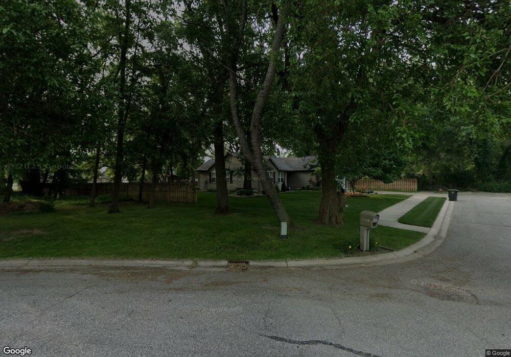
4304 Maple Rd South Bend, IN 46628
Estimated Value: $242,000 - $313,000
3
Beds
2
Baths
1,307
Sq Ft
$212/Sq Ft
Est. Value
About This Home
This home is located at 4304 Maple Rd, South Bend, IN 46628 and is currently estimated at $277,677, approximately $212 per square foot. 4304 Maple Rd is a home located in St. Joseph County with nearby schools including Clay Intermediate Center, Coquillard Primary Center, and Dickinson Fine Arts Academy.
Ownership History
Date
Name
Owned For
Owner Type
Purchase Details
Closed on
Sep 15, 2008
Sold by
Koneful Robert C and Koneful Jean T
Bought by
Biggs Robert B and Biggs Holly L
Current Estimated Value
Home Financials for this Owner
Home Financials are based on the most recent Mortgage that was taken out on this home.
Original Mortgage
$128,900
Outstanding Balance
$84,089
Interest Rate
6.55%
Mortgage Type
New Conventional
Estimated Equity
$193,588
Purchase Details
Closed on
Dec 27, 2005
Sold by
Condon Patrick J and Condon Carol
Bought by
Koneful Robert C and Koneful Jean T
Purchase Details
Closed on
May 13, 2005
Sold by
Condon Patrick J and Condon Carol
Bought by
Koneful Robert C and Koneful Jean T
Home Financials for this Owner
Home Financials are based on the most recent Mortgage that was taken out on this home.
Original Mortgage
$120,720
Interest Rate
6.05%
Mortgage Type
New Conventional
Create a Home Valuation Report for This Property
The Home Valuation Report is an in-depth analysis detailing your home's value as well as a comparison with similar homes in the area
Purchase History
| Date | Buyer | Sale Price | Title Company |
|---|---|---|---|
| Biggs Robert B | -- | None Available | |
| Koneful Robert C | -- | Land America Lawyers Title | |
| Koneful Robert C | -- | Century Title Services |
Source: Public Records
Mortgage History
| Date | Status | Borrower | Loan Amount |
|---|---|---|---|
| Open | Biggs Robert B | $128,900 | |
| Previous Owner | Koneful Robert C | $120,720 |
Source: Public Records
Tax History
| Year | Tax Paid | Tax Assessment Tax Assessment Total Assessment is a certain percentage of the fair market value that is determined by local assessors to be the total taxable value of land and additions on the property. | Land | Improvement |
|---|---|---|---|---|
| 2025 | $2,660 | $284,700 | $46,400 | $238,300 |
| 2024 | $2,693 | $220,600 | $46,400 | $174,200 |
| 2023 | $2,326 | $221,400 | $46,400 | $175,000 |
| 2022 | $2,326 | $196,000 | $46,400 | $149,600 |
| 2021 | $2,299 | $190,700 | $16,600 | $174,100 |
| 2020 | $2,325 | $192,800 | $16,400 | $176,400 |
| 2019 | $1,762 | $173,900 | $14,400 | $159,500 |
| 2018 | $2,011 | $164,100 | $13,300 | $150,800 |
| 2017 | $1,838 | $147,900 | $13,300 | $134,600 |
| 2016 | $1,661 | $132,400 | $11,800 | $120,600 |
| 2014 | $1,642 | $133,100 | $11,800 | $121,300 |
Source: Public Records
Map
Nearby Homes
- 4205 Foxfire Dr
- 21778 Auten Rd
- 0 Easement Ln
- 52511 Lynnewood Ave
- 51487 Christian Dr Unit 91
- 22116 Silver Springs Dr
- 51467 Christian Dr Unit 90
- 21644 Rivendell Ct Unit 1 & 2 (1A)
- 22687 Brick Rd
- 21614 Rivendell Ct
- 21692 Sandybrook Dr
- 21722 Sandybrook Dr
- 21594 Rivendell Ct Unit 4
- 21574 Rivendell Ct Unit 5
- 21534 Rivendell Ct Unit 7
- 21554 Rivendell Ct Unit 6
- 21585 Rivendell Ct Unit 12
- 21545 Rivendell Ct Unit 10
- 21565 Rivendell Ct
- 21533 Rivendell Ct Unit 9
- 4311 Portage Ave
- 52155 Portage Rd
- 4301 Portage Ave
- 3202 Sand Wood Dr
- 52205 Portage Rd
- 4312 Field Gate Dr E
- 3208 Sand Wood Dr
- 4315 Maple Rd
- 52223 Portage Rd
- 4318 Field Gate Dr E
- 4323 Maple Rd
- 3214 Sand Wood Dr
- 4329 Maple Rd
- 4324 Field Gate Dr E
- 3219 Sand Wood Dr
- 3220 Sand Wood Dr
- 52241 Portage Rd
- 52180 Portage Rd
- 4317 Field Gate Dr E
- 4330 Field Gate Dr E
Your Personal Tour Guide
Ask me questions while you tour the home.