Estimated Value: $307,000 - $1,105,000
2
Beds
1
Bath
1,856
Sq Ft
$345/Sq Ft
Est. Value
About This Home
This home is located at 43042 Ollar Rd, Howe, OK 74940 and is currently estimated at $640,440, approximately $345 per square foot. 43042 Ollar Rd is a home located in Le Flore County with nearby schools including Heavener Elementary School and Heavener High School.
Ownership History
Date
Name
Owned For
Owner Type
Purchase Details
Closed on
Oct 13, 2015
Sold by
Hendricks John and Hendricks Janita
Bought by
Maxwell Mary Ann
Current Estimated Value
Purchase Details
Closed on
Jan 24, 2007
Sold by
Parker Tony L and Parker Tammy S
Bought by
Maxwell Neal A and Maxwell Mary A
Home Financials for this Owner
Home Financials are based on the most recent Mortgage that was taken out on this home.
Original Mortgage
$473,000
Interest Rate
9.25%
Mortgage Type
Adjustable Rate Mortgage/ARM
Create a Home Valuation Report for This Property
The Home Valuation Report is an in-depth analysis detailing your home's value as well as a comparison with similar homes in the area
Home Values in the Area
Average Home Value in this Area
Purchase History
| Date | Buyer | Sale Price | Title Company |
|---|---|---|---|
| Maxwell Mary Ann | -- | None Available | |
| Maxwell Neal A | $650,000 | -- |
Source: Public Records
Mortgage History
| Date | Status | Borrower | Loan Amount |
|---|---|---|---|
| Previous Owner | Maxwell Neal A | $473,000 |
Source: Public Records
Tax History Compared to Growth
Tax History
| Year | Tax Paid | Tax Assessment Tax Assessment Total Assessment is a certain percentage of the fair market value that is determined by local assessors to be the total taxable value of land and additions on the property. | Land | Improvement |
|---|---|---|---|---|
| 2023 | $2,800 | $32,417 | $1,040 | $31,377 |
| 2022 | $2,439 | $31,472 | $2,103 | $29,369 |
| 2021 | $2,368 | $30,556 | $2,103 | $28,453 |
| 2020 | $2,644 | $30,833 | $2,103 | $28,730 |
| 2019 | $2,579 | $30,093 | $2,103 | $27,990 |
| 2018 | $2,561 | $29,217 | $2,103 | $27,114 |
| 2017 | $2,590 | $29,694 | $2,103 | $27,591 |
| 2016 | $2,694 | $30,627 | $2,103 | $28,524 |
| 2015 | $2,722 | $30,594 | $2,103 | $28,491 |
| 2014 | $2,921 | $32,901 | $2,103 | $30,798 |
Source: Public Records
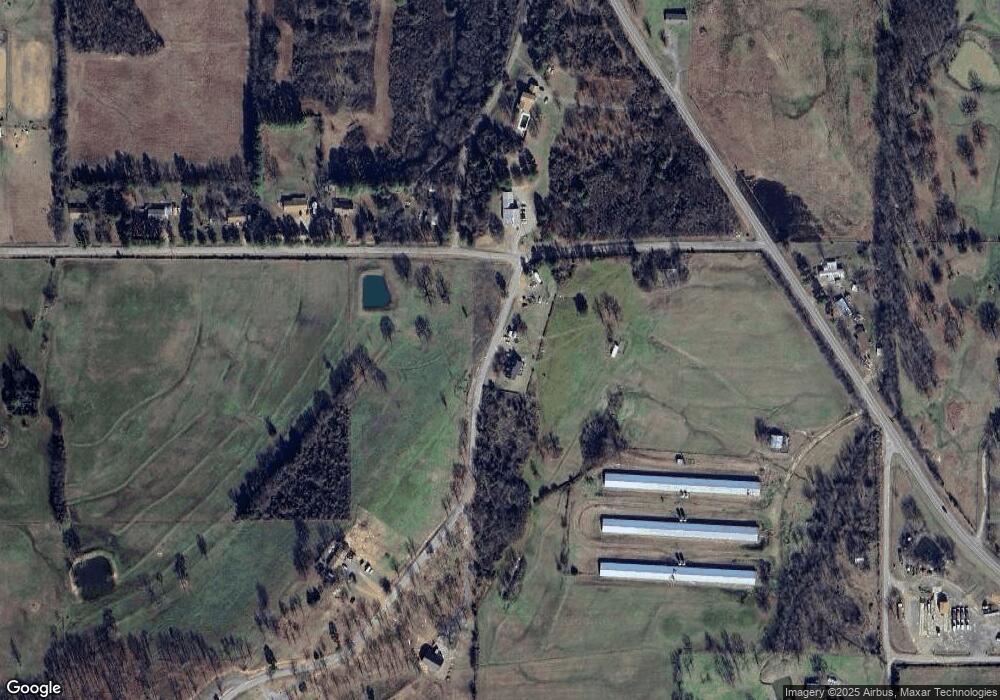
Map
Nearby Homes
- 20620 U S 270
- 700 Timber Ridge Rd
- 42555 Timber Ridge Rd
- TBD Timber Ridge Rd
- 016 Timber Ridge Rd
- 42267 Timber Ridge Rd
- 21706 Independence Rd
- 18 Pickle Ln
- 706 W Avenue D
- 702 W Short I
- 18412 Sh-128
- 22512 Independence Rd
- 205 W Avenue G
- TBD U S 59 Unit 14 & 15
- TBD U S 59
- TBD U S 59 Unit 13
- TBD U S 59 Unit 12
- 701 U S Highway 270
- 607 E 1st St
- 405 E Avenue F
- 20926 Us Highway 270
- 20880 Us Highway 270
- 21133 Us Highway 270
- 21133 Us Highway 270
- 21276 Mount Pleasant Rd
- 21136 Us Highway 270
- 21298 Mount Pleasant Rd
- 21338 Mt Pleasant Rd
- 43155 Oscar Ln
- 21450 Mount Pleasant Rd
- 20690 Us Highway 270
- 43505 210th Ave
- 21721 Mount Pleasant Rd
- 20682 Us Highway 270
- 43521 210th Ave
- 21540 Mount Pleasant Rd
- 21623 Mount Pleasant Rd
- 100 Johnston Hill
- 21002 Independence Rd
- 43115 Timber Ridge Rd