43047 Rountree Ln Callahan, FL 32011
Estimated Value: $429,000 - $662,000
7
Beds
5
Baths
772
Sq Ft
$669/Sq Ft
Est. Value
About This Home
This home is located at 43047 Rountree Ln, Callahan, FL 32011 and is currently estimated at $516,217, approximately $668 per square foot. 43047 Rountree Ln is a home located in Nassau County with nearby schools including Callahan Elementary School, Callahan Intermediate School, and Callahan Middle School.
Ownership History
Date
Name
Owned For
Owner Type
Purchase Details
Closed on
Dec 23, 2019
Sold by
Rountree Brenda K
Bought by
Rountree Jarren K and Rountree Kiersten M
Current Estimated Value
Home Financials for this Owner
Home Financials are based on the most recent Mortgage that was taken out on this home.
Original Mortgage
$85,500
Outstanding Balance
$75,528
Interest Rate
3.7%
Mortgage Type
New Conventional
Estimated Equity
$440,689
Create a Home Valuation Report for This Property
The Home Valuation Report is an in-depth analysis detailing your home's value as well as a comparison with similar homes in the area
Home Values in the Area
Average Home Value in this Area
Purchase History
| Date | Buyer | Sale Price | Title Company |
|---|---|---|---|
| Rountree Jarren K | $90,000 | Vystar Title Agency |
Source: Public Records
Mortgage History
| Date | Status | Borrower | Loan Amount |
|---|---|---|---|
| Open | Rountree Jarren K | $85,500 |
Source: Public Records
Tax History Compared to Growth
Tax History
| Year | Tax Paid | Tax Assessment Tax Assessment Total Assessment is a certain percentage of the fair market value that is determined by local assessors to be the total taxable value of land and additions on the property. | Land | Improvement |
|---|---|---|---|---|
| 2024 | $2,350 | $171,241 | -- | -- |
| 2023 | $2,350 | $190,691 | $0 | $0 |
| 2022 | $2,066 | $178,172 | $0 | $0 |
| 2021 | $2,188 | $180,338 | $0 | $0 |
| 2020 | $2,138 | $176,940 | $0 | $0 |
| 2019 | $1,530 | $135,334 | $0 | $0 |
| 2018 | $1,516 | $135,927 | $0 | $0 |
| 2017 | $1,396 | $135,231 | $0 | $0 |
| 2016 | $1,313 | $124,489 | $0 | $0 |
| 2015 | $1,394 | $126,183 | $0 | $0 |
| 2014 | $1,346 | $123,773 | $0 | $0 |
Source: Public Records
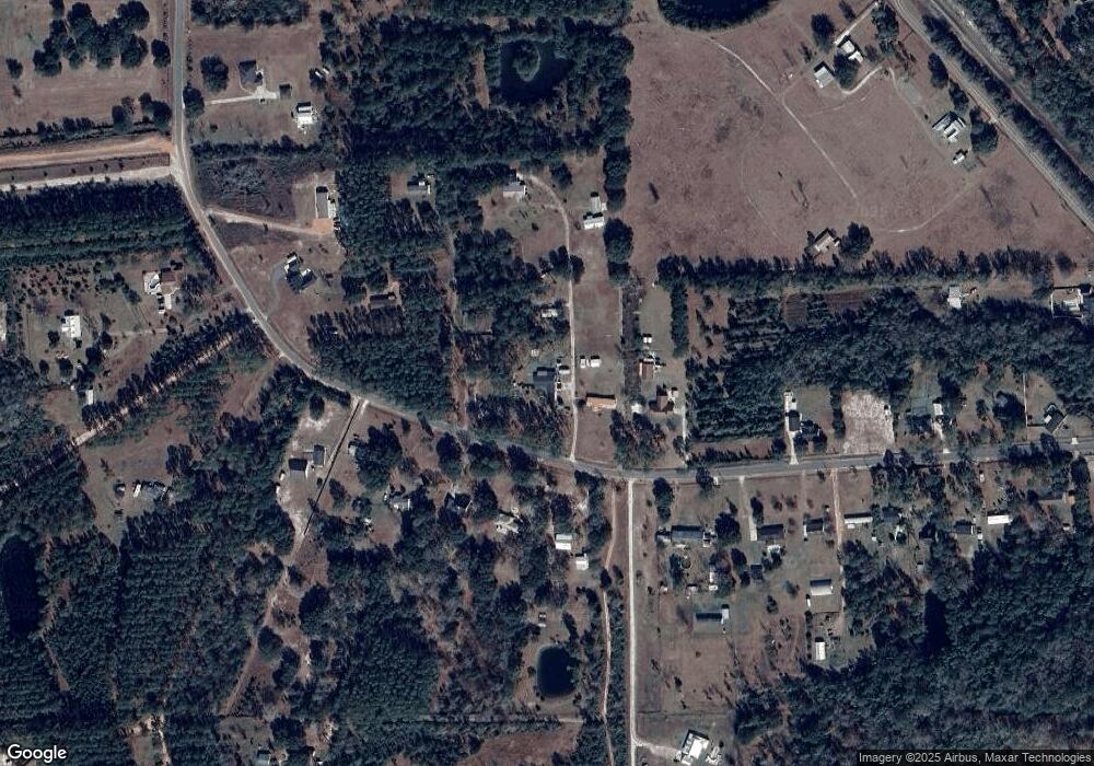
Map
Nearby Homes
- 43059 Pearl Ln
- 43201 Mossy Branch
- 0 Ratliff Rd Unit 110754
- 0 Ratliff Rd Unit 2063540
- 43588 Freedom Dr
- 8716 Acree Rd
- 44292 Woodridge Dr
- 44277 Woodland Cir
- 30424 Trophy Trail
- 30139 Trophy Trail
- 11570 Buck Head Tr
- 44586 Maplewood Ct
- 44170 Woodland Cir
- 8549 Acree Rd
- 10115 Fair Hill Ct
- 44125 Jarrett Rd
- 10114 Fair Hill Ct
- 11246 Saddle Club Dr
- 11254 Saddle Club Dr
- 11165 Saddle Club Dr
- 43454 Keen Cemetery Rd
- 43342 Keen Cemetery Rd
- 43421 Keen Cemetery Rd
- 43447 Keen Cemetery Rd
- 43391 Keen Cemetery Rd
- 43514 Keen Cemetery Rd
- 43580 Keen Cemetery Rd
- 43254 Keen Cemetery Rd
- 43279 Keen Cemetery Rd
- 43541 Keen Cemetery Rd
- 43257 Keen Cemetery Rd
- 43209 Keen Cemetery Rd
- 43209 Keen Cemetery Rd
- 43190 Keen Cemetery Rd
- 43210 Scaff Lain Place
- 43637 Keen Cemetery Rd
- 43187 Keen Cemetery Rd
- 43581 Keen Cemetery Rd
- 43754 Keen Cemetery Rd
- 43297 Thomas Creek Rd