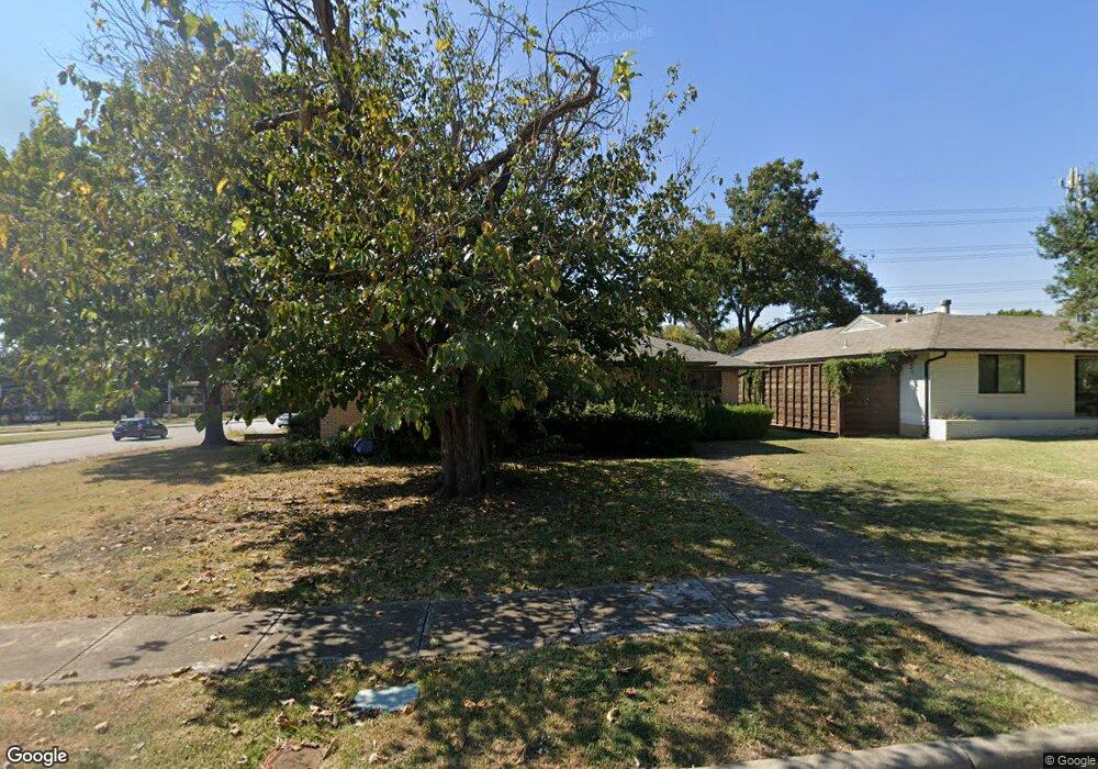
4305 Ashford Dr Dallas, TX 75214
Northeast Dallas NeighborhoodEstimated Value: $696,065 - $790,000
3
Beds
2
Baths
1,947
Sq Ft
$383/Sq Ft
Est. Value
About This Home
This home is located at 4305 Ashford Dr, Dallas, TX 75214 and is currently estimated at $746,266, approximately $383 per square foot. 4305 Ashford Dr is a home located in Dallas County with nearby schools including Lakewood Elementary School, J L Long Middle School, and Woodrow Wilson High School.
Ownership History
Date
Name
Owned For
Owner Type
Purchase Details
Closed on
May 3, 2010
Sold by
Lampl Brent A
Bought by
Lackey Hiriam Alan and Lackey Spring L
Current Estimated Value
Home Financials for this Owner
Home Financials are based on the most recent Mortgage that was taken out on this home.
Original Mortgage
$271,838
Outstanding Balance
$183,978
Interest Rate
5.25%
Mortgage Type
FHA
Estimated Equity
$562,288
Purchase Details
Closed on
Feb 20, 2009
Sold by
Lawhorn L E and Lawhorn Mary Ann
Bought by
Lampl Brent A
Home Financials for this Owner
Home Financials are based on the most recent Mortgage that was taken out on this home.
Original Mortgage
$152,250
Interest Rate
4.91%
Mortgage Type
Purchase Money Mortgage
Create a Home Valuation Report for This Property
The Home Valuation Report is an in-depth analysis detailing your home's value as well as a comparison with similar homes in the area
Home Values in the Area
Average Home Value in this Area
Purchase History
| Date | Buyer | Sale Price | Title Company |
|---|---|---|---|
| Lackey Hiriam Alan | -- | Rtt | |
| Lampl Brent A | -- | Rtt |
Source: Public Records
Mortgage History
| Date | Status | Borrower | Loan Amount |
|---|---|---|---|
| Open | Lackey Hiriam Alan | $271,838 | |
| Previous Owner | Lampl Brent A | $152,250 |
Source: Public Records
Tax History Compared to Growth
Tax History
| Year | Tax Paid | Tax Assessment Tax Assessment Total Assessment is a certain percentage of the fair market value that is determined by local assessors to be the total taxable value of land and additions on the property. | Land | Improvement |
|---|---|---|---|---|
| 2025 | $8,585 | $710,270 | $412,000 | $298,270 |
| 2024 | $8,585 | $556,320 | $195,000 | $361,320 |
| 2023 | $8,585 | $486,860 | $210,000 | $276,860 |
| 2022 | $12,173 | $486,860 | $210,000 | $276,860 |
| 2021 | $10,061 | $381,370 | $140,000 | $241,370 |
| 2020 | $10,346 | $381,370 | $140,000 | $241,370 |
| 2019 | $10,014 | $351,960 | $140,000 | $211,960 |
| 2018 | $9,571 | $351,960 | $140,000 | $211,960 |
| 2017 | $7,806 | $287,050 | $140,000 | $147,050 |
| 2016 | $7,806 | $287,050 | $140,000 | $147,050 |
| 2015 | $5,673 | $261,670 | $70,000 | $191,670 |
| 2014 | $5,673 | $252,550 | $70,000 | $182,550 |
Source: Public Records
Map
Nearby Homes
- 4323 Ashford Dr
- 6720 Braeburn Dr
- 6746 Braeburn Dr
- 6804 Santa Maria Ln
- 6757 Lakefair Cir
- 6612 E Mockingbird Ln
- 6802 Vada Dr
- 6742 Williamson Rd
- 6529 Saint Moritz Ave
- 6711 Vada Dr
- 6474 Sudbury Dr
- 6923 Inverness Ln
- 6728 Winton St
- 6446 Lange Cir
- 4010 Sperry St
- 6537 Patrick Dr
- 6932 Chantilly Ct
- 6984 Santa Barbara Dr
- 3932 Frontier Ln
- 6906 Redstart Ln
- 4311 Ashford Dr
- 4317 Ashford Dr
- 6735 E Mockingbird Ln
- 6716 E Mockingbird Ln
- 6724 E Mockingbird Ln
- 6741 E Mockingbird Ln
- 6730 E Mockingbird Ln
- 6704 Braeburn Dr
- 6655 Lange Cir
- 6651 Lange Cir
- 6736 E Mockingbird Ln
- 6745 E Mockingbird Ln
- 6710 Braeburn Dr
- 4403 Ashford Dr
- 6742 E Mockingbird Ln
- 6661 Lange Cir
- 6751 E Mockingbird Ln
- 6721 Inverness Ln
- 6715 Inverness Ln
- 6716 Braeburn Dr