Estimated Value: $172,000 - $414,000
3
Beds
2
Baths
1,940
Sq Ft
$157/Sq Ft
Est. Value
About This Home
This home is located at 4305 E 480, Pryor, OK 74361 and is currently estimated at $303,996, approximately $156 per square foot. 4305 E 480 is a home located in Mayes County with nearby schools including Pryor Middle School and Pryor High School.
Ownership History
Date
Name
Owned For
Owner Type
Purchase Details
Closed on
Oct 8, 2015
Sold by
Lay Robert A and Lay Diane
Bought by
Gustafson Richard and Gustafson Elizabeth
Current Estimated Value
Purchase Details
Closed on
Apr 17, 2009
Sold by
Vargas Frank F and Vargas Deanna Jo
Bought by
Lay Robert A and Lay Diane
Purchase Details
Closed on
Dec 11, 2002
Sold by
Finney Edwin Dean and Finney Jennif
Bought by
Vargas Frank F
Create a Home Valuation Report for This Property
The Home Valuation Report is an in-depth analysis detailing your home's value as well as a comparison with similar homes in the area
Purchase History
| Date | Buyer | Sale Price | Title Company |
|---|---|---|---|
| Gustafson Richard | $205,000 | None Available | |
| Lay Robert A | $180,000 | None Available | |
| Vargas Frank F | $125,000 | -- |
Source: Public Records
Tax History
| Year | Tax Paid | Tax Assessment Tax Assessment Total Assessment is a certain percentage of the fair market value that is determined by local assessors to be the total taxable value of land and additions on the property. | Land | Improvement |
|---|---|---|---|---|
| 2025 | $3,809 | $46,102 | $15,806 | $30,296 |
| 2023 | $2,369 | $26,717 | $6,804 | $19,913 |
| 2022 | $2,253 | $26,959 | $5,619 | $21,340 |
| 2021 | $2,168 | $25,676 | $5,133 | $20,543 |
| 2020 | $2,024 | $24,453 | $4,478 | $19,975 |
| 2019 | $1,989 | $23,288 | $3,725 | $19,563 |
| 2018 | $1,977 | $23,288 | $3,725 | $19,563 |
| 2017 | $1,838 | $23,288 | $3,725 | $19,563 |
| 2016 | $1,857 | $23,288 | $3,725 | $19,563 |
| 2015 | $1,316 | $17,240 | $3,725 | $13,515 |
| 2014 | $1,275 | $16,738 | $3,629 | $13,109 |
Source: Public Records
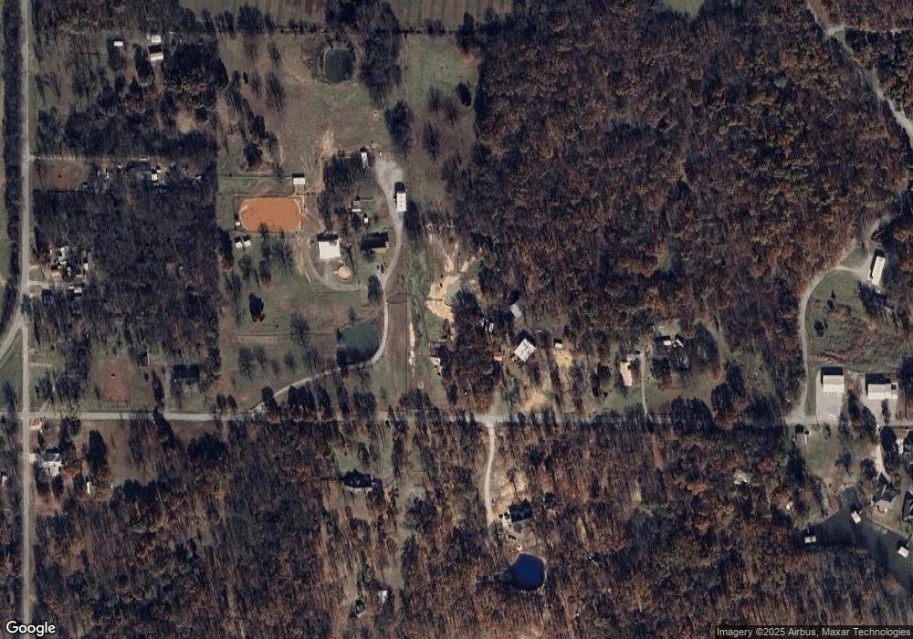
Map
Nearby Homes
- 4305 E 480
- 4407 E 480
- 4404 E 480
- 4406 E 480
- 4402 E 480
- 4546 E 480
- 4240 E 480
- 4147 E 480
- 4593 E 480
- 4568 E 480
- 4093 E 480
- 0 E 480 Rd Unit 1410282
- 0 E 480 Rd Unit 1003388
- 0 E 480 Rd Unit 1017110
- 0 E 480 Rd Unit 1021586
- 0 E 480 Rd Unit 1111731
- 0 E 480 Rd Unit 1022863
- 0 E 480 Rd Unit 1022868
- 0 E 480 Rd Unit 1022873
- 0 E 480 Rd Unit 1115255
Your Personal Tour Guide
Ask me questions while you tour the home.