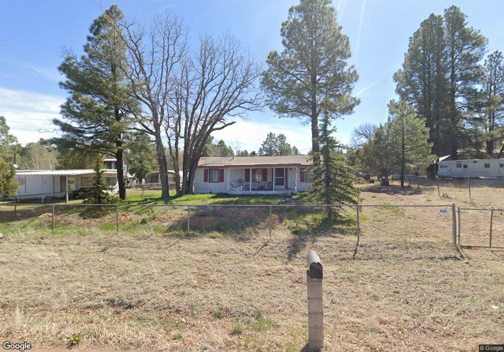
4305 Meadow Grove Dr Show Low, AZ 85901
Estimated Value: $202,000 - $251,000
--
Bed
--
Bath
846
Sq Ft
$260/Sq Ft
Est. Value
About This Home
This home is located at 4305 Meadow Grove Dr, Show Low, AZ 85901 and is currently estimated at $220,141, approximately $260 per square foot. 4305 Meadow Grove Dr is a home located in Navajo County with nearby schools including Nikolaus Homestead Elementary School, Show Low High School, and Show Low Junior High School.
Ownership History
Date
Name
Owned For
Owner Type
Purchase Details
Closed on
Nov 6, 2009
Sold by
Fouty Eleanor A
Bought by
Miller Craig Lee and Miller Summer
Current Estimated Value
Home Financials for this Owner
Home Financials are based on the most recent Mortgage that was taken out on this home.
Original Mortgage
$50,400
Outstanding Balance
$32,892
Interest Rate
4.99%
Mortgage Type
New Conventional
Estimated Equity
$187,249
Create a Home Valuation Report for This Property
The Home Valuation Report is an in-depth analysis detailing your home's value as well as a comparison with similar homes in the area
Home Values in the Area
Average Home Value in this Area
Purchase History
| Date | Buyer | Sale Price | Title Company |
|---|---|---|---|
| Miller Craig Lee | -- | Pioneer Title Agency Inc |
Source: Public Records
Mortgage History
| Date | Status | Borrower | Loan Amount |
|---|---|---|---|
| Open | Miller Craig Lee | $50,400 |
Source: Public Records
Tax History Compared to Growth
Tax History
| Year | Tax Paid | Tax Assessment Tax Assessment Total Assessment is a certain percentage of the fair market value that is determined by local assessors to be the total taxable value of land and additions on the property. | Land | Improvement |
|---|---|---|---|---|
| 2026 | $725 | -- | -- | -- |
| 2025 | $714 | $13,702 | $1,175 | $12,527 |
| 2024 | $676 | $13,722 | $1,175 | $12,547 |
| 2023 | $714 | $10,548 | $1,140 | $9,408 |
| 2022 | $676 | $0 | $0 | $0 |
| 2021 | $677 | $0 | $0 | $0 |
| 2020 | $636 | $0 | $0 | $0 |
| 2019 | $635 | $0 | $0 | $0 |
| 2018 | $622 | $0 | $0 | $0 |
| 2017 | $582 | $0 | $0 | $0 |
| 2016 | $576 | $0 | $0 | $0 |
| 2015 | $541 | $5,293 | $650 | $4,643 |
Source: Public Records
Map
Nearby Homes
- 4328 Forest Glade Dr
- 4041 Gold Dust Trail
- 2822 Gold Dust Trail
- 2842 Gold Dust Trail
- 4195 Adamson St
- 3680 Sage Ln Unit 260
- 1491 W Snow Creek Trail
- 1791 W Snow Creek Loop
- 1300 W Sugar Creek Ct
- 2080 S High Sierra Ct
- 2080 S High Sierra Ct Unit 86A
- 2540 W Pinegrass Rd
- 1761 S Alder Leaf Ln
- 1820 S Rockwood Cir
- 1760 S Monkshood Rd
- 1281 W Snow Creek Trail
- 1610 W Snow Creek Trail
- 4251 W Acer Ln
- 2221 W Edgewater Unit Lot 57
- 2201 W Edgewater Unit Lot 58
- 4280 Meadow Grove Dr
- 4352 Forest Glade Dr
- 4352 Meadow Grove Dr
- 4400 S Indian Trail
- 4281 Forest Glade Dr Unit II
- 4365 Pheasant Trail
- 4257 Pheasant Trail
- 2726 Oak Tree Dr
- 4208 Meadow Grove Dr
- 4233 Forest Glade Dr
- 4184 Forest Glade Dr
- 2597 Indian Trail
- 4185 Pheasant Trail
- 4399 S Indian Trail
- 4304 Silver Fox Way
- 4280 Silver Fox Way
- 4184 Meadow Grove Dr
- 4232 Silver Fox Way
- 4185 Forest Glade Dr
- 2663 Bob o Link Dr