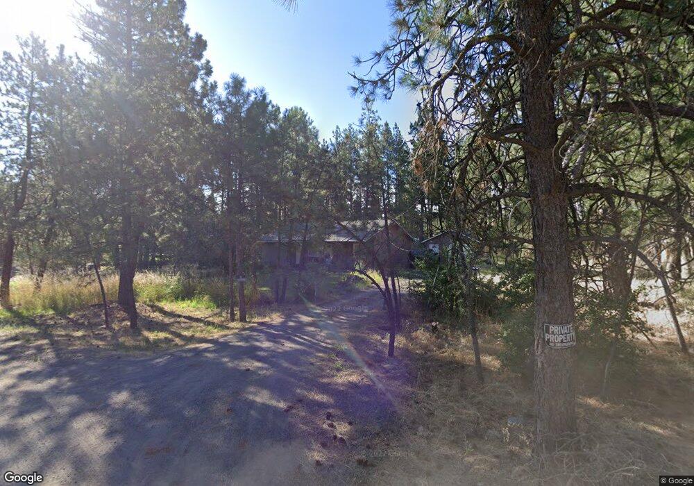
4305 W 39th Ave Spokane, WA 99224
Thorpe Westwood NeighborhoodEstimated Value: $287,000 - $413,000
2
Beds
1
Bath
1,201
Sq Ft
$295/Sq Ft
Est. Value
About This Home
This home is located at 4305 W 39th Ave, Spokane, WA 99224 and is currently estimated at $354,777, approximately $295 per square foot. 4305 W 39th Ave is a home located in Spokane County with nearby schools including Windsor Elementary School, Westwood Middle School, and Cheney High School.
Ownership History
Date
Name
Owned For
Owner Type
Purchase Details
Closed on
Oct 13, 2022
Sold by
Odle Susan
Bought by
Odle Roger
Current Estimated Value
Purchase Details
Closed on
Aug 4, 2004
Sold by
Lorinski Agnes
Bought by
Odle Roger A and Odle Susan A
Home Financials for this Owner
Home Financials are based on the most recent Mortgage that was taken out on this home.
Original Mortgage
$46,350
Interest Rate
6.24%
Mortgage Type
Purchase Money Mortgage
Purchase Details
Closed on
Aug 3, 2000
Sold by
Lorinski Tophelia
Bought by
Lorinski Tophelia
Create a Home Valuation Report for This Property
The Home Valuation Report is an in-depth analysis detailing your home's value as well as a comparison with similar homes in the area
Home Values in the Area
Average Home Value in this Area
Purchase History
| Date | Buyer | Sale Price | Title Company |
|---|---|---|---|
| Odle Roger | -- | -- | |
| Odle Roger A | $51,500 | Pacific Nw Title | |
| Lorinski Agnes | -- | Pacific Nw Title | |
| Lorinski Tophelia | -- | -- |
Source: Public Records
Mortgage History
| Date | Status | Borrower | Loan Amount |
|---|---|---|---|
| Previous Owner | Odle Roger A | $46,350 |
Source: Public Records
Tax History Compared to Growth
Tax History
| Year | Tax Paid | Tax Assessment Tax Assessment Total Assessment is a certain percentage of the fair market value that is determined by local assessors to be the total taxable value of land and additions on the property. | Land | Improvement |
|---|---|---|---|---|
| 2025 | $2,770 | $317,700 | $130,000 | $187,700 |
| 2024 | $2,770 | $270,200 | $92,000 | $178,200 |
| 2023 | $2,048 | $251,850 | $57,750 | $194,100 |
| 2022 | $2,175 | $238,450 | $57,750 | $180,700 |
| 2021 | $2,121 | $180,750 | $26,250 | $154,500 |
| 2020 | $2,018 | $164,350 | $26,250 | $138,100 |
| 2019 | $1,658 | $140,450 | $26,250 | $114,200 |
| 2018 | $1,730 | $126,350 | $26,250 | $100,100 |
| 2017 | $1,531 | $122,550 | $26,250 | $96,300 |
| 2016 | $1,340 | $103,250 | $26,250 | $77,000 |
| 2015 | $1,384 | $102,550 | $26,250 | $76,300 |
| 2014 | -- | $102,550 | $26,250 | $76,300 |
| 2013 | -- | $0 | $0 | $0 |
Source: Public Records
Map
Nearby Homes
- 4417 W South Oval Rd
- NKA W Thorpe Rd
- 3410 S Sipko Ln
- 3618 S Harrison St
- 4628 W Huxley Dr
- 4804 W 34th Ave
- 5297 S Dorset Rd
- NKA W 29th Ave
- 0 Stirling Hts West Lt 12 Blk 17 Ave
- 5273 S Dorset Rd Unit Approximate
- 2851 S H St
- XXX W 25th Ave Unit Lot 2
- XXX W 25th Ave Unit Lot 1
- XXX W 25th Ave
- 4625 W Garden Springs Rd
- 3108 W Thorpe Rd
- 3431 W 21st Ave
- 2710 W Thorpe Rd
- 3851 W Grandview Ave
- 5004 S Buell Ln
- 4215 W 39th Ave
- 3911 S Assembly Rd
- 4212 W 40th Ave
- 2900 S Assembly Rd
- 36XX S Assembly Rd
- 4307 W 40th Ave
- 3804 S Assembly Rd
- 4315 W 40th Ave
- 4211 W 40th Ave
- 4120 W 40th Ave
- 4119 W 40th Ave
- 4511 W Thorpe Rd
- 4014 S Assembly Rd
- 4523 W South Oval Rd
- 0 W Thorpe Rd Unit 28015723
- 0 W Thorpe Rd Unit 28027523
- 0 W Thorpe Rd Unit 28028393
- 0 W Thorpe Rd Unit 201114398
- 0 W Thorpe Rd Unit 201520573
- 0 W Thorpe Rd Unit 201520570