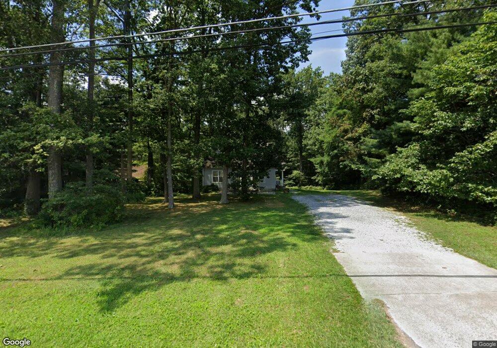
4306 Buffalo Rd Mount Airy, MD 21771
Estimated Value: $392,000 - $530,000
Studio
2
Baths
1,248
Sq Ft
$357/Sq Ft
Est. Value
About This Home
This home is located at 4306 Buffalo Rd, Mount Airy, MD 21771 and is currently estimated at $445,576, approximately $357 per square foot. 4306 Buffalo Rd is a home located in Frederick County with nearby schools including Liberty Elementary School, New Market Middle School, and Linganore High School.
Ownership History
Date
Name
Owned For
Owner Type
Purchase Details
Closed on
Jun 28, 2002
Sold by
Karschner Arnold L and Karschner Beth A
Bought by
Smaha Christopher M and Smaha Cynthia S
Current Estimated Value
Purchase Details
Closed on
Oct 1, 1991
Sold by
Turner Daniel W and Turner Patrice M
Bought by
Karschner Arnold L and Karschner Beth A
Home Financials for this Owner
Home Financials are based on the most recent Mortgage that was taken out on this home.
Original Mortgage
$132,300
Interest Rate
8.92%
Purchase Details
Closed on
Jan 6, 1987
Sold by
Turner Brice W and Turner Virginia
Bought by
Turner Daniel W and Turner Patrice M
Home Financials for this Owner
Home Financials are based on the most recent Mortgage that was taken out on this home.
Original Mortgage
$69,500
Interest Rate
9.37%
Create a Home Valuation Report for This Property
The Home Valuation Report is an in-depth analysis detailing your home's value as well as a comparison with similar homes in the area
Home Values in the Area
Average Home Value in this Area
Purchase History
| Date | Buyer | Sale Price | Title Company |
|---|---|---|---|
| Smaha Christopher M | $177,500 | -- | |
| Karschner Arnold L | $129,900 | -- | |
| Turner Daniel W | $69,500 | -- |
Source: Public Records
Mortgage History
| Date | Status | Borrower | Loan Amount |
|---|---|---|---|
| Previous Owner | Karschner Arnold L | $132,300 | |
| Previous Owner | Turner Daniel W | $69,500 | |
| Closed | Smaha Christopher M | -- |
Source: Public Records
Tax History
| Year | Tax Paid | Tax Assessment Tax Assessment Total Assessment is a certain percentage of the fair market value that is determined by local assessors to be the total taxable value of land and additions on the property. | Land | Improvement |
|---|---|---|---|---|
| 2025 | $3,553 | $307,800 | $135,400 | $172,400 |
| 2024 | $3,553 | $281,167 | $0 | $0 |
| 2023 | $3,104 | $254,533 | $0 | $0 |
| 2022 | $2,795 | $227,900 | $93,900 | $134,000 |
| 2021 | $2,638 | $221,167 | $0 | $0 |
| 2020 | $2,638 | $214,433 | $0 | $0 |
| 2019 | $2,560 | $207,700 | $84,900 | $122,800 |
| 2018 | $2,582 | $207,700 | $84,900 | $122,800 |
| 2017 | $2,560 | $207,700 | $0 | $0 |
| 2016 | $2,450 | $210,000 | $0 | $0 |
| 2015 | $2,450 | $206,700 | $0 | $0 |
| 2014 | $2,450 | $203,400 | $0 | $0 |
Source: Public Records
Map
Nearby Homes
- 15539 Liberty Rd
- 4525 Roop Rd
- 3895 Buffalo Rd
- 3816 A Jim Smith Ln
- 4814 Ridge Rd
- 3222 Kimberly Dr
- 4328 Ridge Rd Unit 13
- 4328 Ridge Rd Unit 14
- 3007 Merle Ct
- 2613 Liberty Rd
- 2514 W Liberty Rd
- 3174 Cardinal Dr
- 2507 Gillis Rd
- 4505 Gray Horse Dr
- 5730 Ridge Rd
- 3733 Ridge Rd
- Parcel # 22 Sams Creek Rd
- 0 Cabbage Spring Rd
- 7275 Hattery Farm Ct
- Lot 15 Westview Rd
- 4312 Buffalo Rd
- 4300 Buffalo Rd
- 4320 Buffalo Rd
- 4328 Buffalo Rd
- 4336 Buffalo Rd
- 4340 Buffalo Rd
- 4253 Buffalo Rd
- 4249 Buffalo Rd
- 4398 Buffalo Rd
- 4245 Buffalo Rd
- 4400 Buffalo Rd
- 4241 Buffalo Rd
- 4404 Buffalo Rd
- 0 Buffalo Rd Unit CR6860605
- 4235 Buffalo Rd
- 4406 Buffalo Rd
- 4233 Buffalo Rd
- 4408 Buffalo Rd
- 4229 Buffalo Rd
- 4412 Buffalo Rd
Your Personal Tour Guide
Ask me questions while you tour the home.