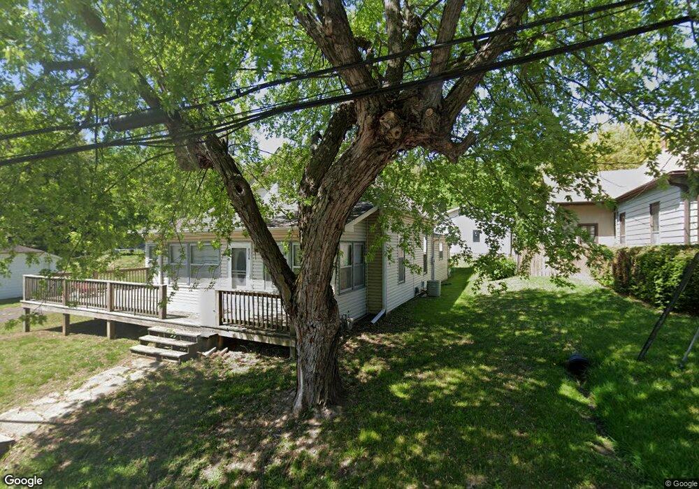
4306 Maxwell Rd Saint Joseph, MO 64505
Northside NeighborhoodEstimated Value: $167,000 - $213,000
3
Beds
1
Bath
1,419
Sq Ft
$136/Sq Ft
Est. Value
About This Home
This home is located at 4306 Maxwell Rd, Saint Joseph, MO 64505 and is currently estimated at $192,304, approximately $135 per square foot. 4306 Maxwell Rd is a home located in Buchanan County with nearby schools including Pershing Elementary School, Robidoux Middle School, and Lafayette High School.
Ownership History
Date
Name
Owned For
Owner Type
Purchase Details
Closed on
Dec 16, 2019
Sold by
Vessar Lonnie O
Bought by
Donahue Michael D and Donahue Benita
Current Estimated Value
Home Financials for this Owner
Home Financials are based on the most recent Mortgage that was taken out on this home.
Original Mortgage
$114,000
Outstanding Balance
$100,490
Interest Rate
3.7%
Mortgage Type
New Conventional
Estimated Equity
$91,814
Purchase Details
Closed on
Nov 14, 2008
Sold by
Rivers Lynda I and Vessar Lynda I
Bought by
Vessar Lonnie O
Create a Home Valuation Report for This Property
The Home Valuation Report is an in-depth analysis detailing your home's value as well as a comparison with similar homes in the area
Home Values in the Area
Average Home Value in this Area
Purchase History
| Date | Buyer | Sale Price | Title Company |
|---|---|---|---|
| Donahue Michael D | -- | Preferred Title Of St Joseph | |
| Vessar Lonnie O | -- | None Available |
Source: Public Records
Mortgage History
| Date | Status | Borrower | Loan Amount |
|---|---|---|---|
| Open | Donahue Michael D | $114,000 |
Source: Public Records
Tax History
| Year | Tax Paid | Tax Assessment Tax Assessment Total Assessment is a certain percentage of the fair market value that is determined by local assessors to be the total taxable value of land and additions on the property. | Land | Improvement |
|---|---|---|---|---|
| 2025 | $997 | $14,140 | $2,950 | $11,190 |
| 2024 | $825 | $11,670 | $2,950 | $8,720 |
| 2023 | $825 | $11,670 | $2,950 | $8,720 |
| 2022 | $764 | $11,670 | $2,950 | $8,720 |
| 2021 | $767 | $11,670 | $2,950 | $8,720 |
| 2020 | $763 | $11,670 | $2,950 | $8,720 |
| 2019 | $736 | $11,670 | $2,950 | $8,720 |
| 2018 | $664 | $11,670 | $2,950 | $8,720 |
| 2017 | $658 | $11,670 | $0 | $0 |
| 2015 | $1 | $11,670 | $0 | $0 |
| 2014 | $723 | $11,670 | $0 | $0 |
Source: Public Records
Map
Nearby Homes
- 903 Cook Rd
- 1101 Myrtle Ave
- 4716 NE Amazonia Rd
- 3502 Saint Joseph Ave
- 1024 Roosevelt Ave
- 1108 Roosevelt Ave
- 3504 N 5th Street Terrace
- 1302 Randolph St
- 1012 Logan St
- 1714 Blackwell Rd
- 3133 Saint Joseph Ave
- 3131 Saint Joseph Ave
- 3123 N 10th St
- 3118 N 11th St
- 319 Green St
- 3309 Westwood Dr
- 5518 Karrasch St
- 2911 N 6th St
- 1020 7th Ave
- 2502 Flintstone Dr
- 4304 Maxwell Rd
- 4308 Maxwell Rd
- 4310 Maxwell Rd
- 4313 Maxwell Rd
- 4305 Maxwell Rd
- 4302 Maxwell Rd
- 4316 Maxwell Rd
- 4235 Maxwell Rd
- 4402 Maxwell Rd
- 4405 Maxwell Rd
- 4315 Amazonia Rd
- 4231 Maxwell Rd
- 4305 Amazonia Rd
- 4410 Maxwell Rd
- 4227 Maxwell Rd
- 4401 Amazonia Rd
- 4409 Maxwell Rd
- 4223 Maxwell Rd
- 4420 Maxwell Rd
- 914 Cook Rd
Your Personal Tour Guide
Ask me questions while you tour the home.