4307 Sabal Pointe Dr SE Grand Rapids, MI 49546
East Paris NeighborhoodEstimated Value: $444,991 - $598,000
3
Beds
3
Baths
2,242
Sq Ft
$231/Sq Ft
Est. Value
About This Home
This home is located at 4307 Sabal Pointe Dr SE, Grand Rapids, MI 49546 and is currently estimated at $517,748, approximately $230 per square foot. 4307 Sabal Pointe Dr SE is a home located in Kent County with nearby schools including Meadow Brook Elementary School, Northern Trails 5/6 School, and Northern Hills Middle School.
Ownership History
Date
Name
Owned For
Owner Type
Purchase Details
Closed on
Jan 8, 2025
Sold by
Janssen Jerry E and Janssen Jerome
Bought by
Janssen Jerry E
Current Estimated Value
Purchase Details
Closed on
Apr 30, 2024
Sold by
Janssen Jerry E and Janssen Jerome
Bought by
Janssen Jerry E and Slate Michelle
Purchase Details
Closed on
Oct 3, 2019
Sold by
Hall Debra K
Bought by
Janssen Jerry E
Create a Home Valuation Report for This Property
The Home Valuation Report is an in-depth analysis detailing your home's value as well as a comparison with similar homes in the area
Home Values in the Area
Average Home Value in this Area
Purchase History
| Date | Buyer | Sale Price | Title Company |
|---|---|---|---|
| Janssen Jerry E | -- | None Listed On Document | |
| Janssen Jerry E | -- | None Listed On Document | |
| Janssen Jerry E | -- | None Listed On Document | |
| Janssen Jerry E | -- | None Listed On Document | |
| Janssen Jerry E | -- | None Available |
Source: Public Records
Tax History Compared to Growth
Tax History
| Year | Tax Paid | Tax Assessment Tax Assessment Total Assessment is a certain percentage of the fair market value that is determined by local assessors to be the total taxable value of land and additions on the property. | Land | Improvement |
|---|---|---|---|---|
| 2025 | $6,652 | $202,400 | $0 | $0 |
| 2024 | $6,652 | $212,300 | $0 | $0 |
| 2023 | $8,216 | $200,600 | $0 | $0 |
| 2022 | $7,799 | $170,600 | $0 | $0 |
| 2021 | $7,598 | $154,900 | $0 | $0 |
| 2020 | $5,483 | $152,900 | $0 | $0 |
| 2019 | $7,488 | $155,300 | $0 | $0 |
| 2018 | $7,368 | $143,300 | $0 | $0 |
| 2017 | $5,036 | $134,800 | $0 | $0 |
| 2016 | $4,886 | $125,000 | $0 | $0 |
| 2015 | $4,829 | $125,000 | $0 | $0 |
| 2013 | -- | $125,000 | $0 | $0 |
Source: Public Records
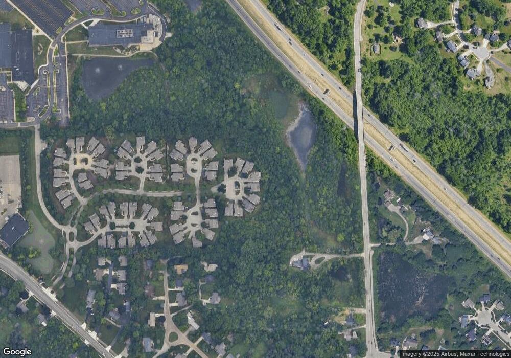
Map
Nearby Homes
- 2045 Forest Hill Ave SE
- 1950 Hidden Oak Ct SE
- 4223 Burton St SE
- 4496 Shiloh Way Dr SE
- 4365 Cloverleaf Dr SE Unit Lot 8
- 4327 Woodside Oaks Dr SE
- 4323 Woodside Oaks Dr SE
- 4478 Burton Forest Ct SE
- 1618 Blue Grass Ct SE
- 2441 Kingbridge Terrace SE Unit 86
- 1840 Keyhill Ave SE
- 4519 Thornberry Dr SE Unit 26
- 4694 E Meadows Dr SE
- 1940 Observatory Ave SE
- 1909 Deerfield Ct SE
- 1150 Farnsworth Ave SE
- The Windsor Plan at Bonnie Meadows - Legacy Series
- 6114 Stahl Dr Unit 16
- 1145 Eastmont Dr SE
- 1169 Argo Ave SE
- 4299 Sabal Pointe Dr SE
- 4308 Sabal Pointe Dr SE Unit 52
- 4291 Sabal Pointe Dr SE
- 4306 Sabal Pointe Dr SE
- 4306 Sabal Pointe Dr SE Unit 53
- 4285 Sabal Pointe Dr SE
- 4302 Sabal Pointe Dr SE Unit 54
- 4294 Sabal Pointe Dr SE Unit 55
- 4286 Sabal Pointe Dr SE
- 1926 Firethorn Ct SE Unit 46
- 1938 Firethorn Ct SE
- 1938 Firethorn Ct SE Unit 44
- 1918 Firethorn Ct SE
- 1960 Burning Woods Ct SE
- 1908 Firethorn Ct SE
- 1908 Firethorn Ct SE Unit 44
- 1974 Burning Woods Ct SE
- 1906 Firethorn Ct SE
- 1941 Firethorn Ct SE
- 1986 Burning Woods Ct SE