4307 Whitetail Ln Hurlock, MD 21643
Estimated Value: $276,000 - $309,000
--
Bed
2
Baths
1,232
Sq Ft
$236/Sq Ft
Est. Value
About This Home
This home is located at 4307 Whitetail Ln, Hurlock, MD 21643 and is currently estimated at $290,143, approximately $235 per square foot. 4307 Whitetail Ln is a home located in Dorchester County with nearby schools including Hurlock Elementary School, North Dorchester Middle School, and North Dorchester High School.
Ownership History
Date
Name
Owned For
Owner Type
Purchase Details
Closed on
Apr 20, 2005
Sold by
Huntington 2J Llc
Bought by
Floyd Kathleen M
Current Estimated Value
Home Financials for this Owner
Home Financials are based on the most recent Mortgage that was taken out on this home.
Original Mortgage
$178,500
Outstanding Balance
$93,128
Interest Rate
5.95%
Mortgage Type
New Conventional
Estimated Equity
$197,015
Purchase Details
Closed on
Apr 24, 2003
Sold by
Mangold Charles V and Mangold Lauren V
Bought by
Huntington 2J Llc
Create a Home Valuation Report for This Property
The Home Valuation Report is an in-depth analysis detailing your home's value as well as a comparison with similar homes in the area
Home Values in the Area
Average Home Value in this Area
Purchase History
| Date | Buyer | Sale Price | Title Company |
|---|---|---|---|
| Floyd Kathleen M | $175,000 | -- | |
| Huntington 2J Llc | $23,500 | -- |
Source: Public Records
Mortgage History
| Date | Status | Borrower | Loan Amount |
|---|---|---|---|
| Open | Floyd Kathleen M | $178,500 | |
| Closed | Huntington 2J Llc | -- |
Source: Public Records
Tax History Compared to Growth
Tax History
| Year | Tax Paid | Tax Assessment Tax Assessment Total Assessment is a certain percentage of the fair market value that is determined by local assessors to be the total taxable value of land and additions on the property. | Land | Improvement |
|---|---|---|---|---|
| 2025 | $2,162 | $188,767 | $0 | $0 |
| 2024 | $1,913 | $174,800 | $44,600 | $130,200 |
| 2023 | $1,913 | $166,900 | $0 | $0 |
| 2022 | $3,649 | $159,000 | $0 | $0 |
| 2021 | $1,726 | $151,100 | $39,600 | $111,500 |
| 2020 | $1,726 | $149,800 | $0 | $0 |
| 2019 | $1,711 | $148,500 | $0 | $0 |
| 2018 | $1,697 | $147,200 | $39,600 | $107,600 |
| 2017 | $1,656 | $146,967 | $0 | $0 |
| 2016 | -- | $146,733 | $0 | $0 |
| 2015 | -- | $146,500 | $0 | $0 |
| 2014 | -- | $146,500 | $0 | $0 |
Source: Public Records
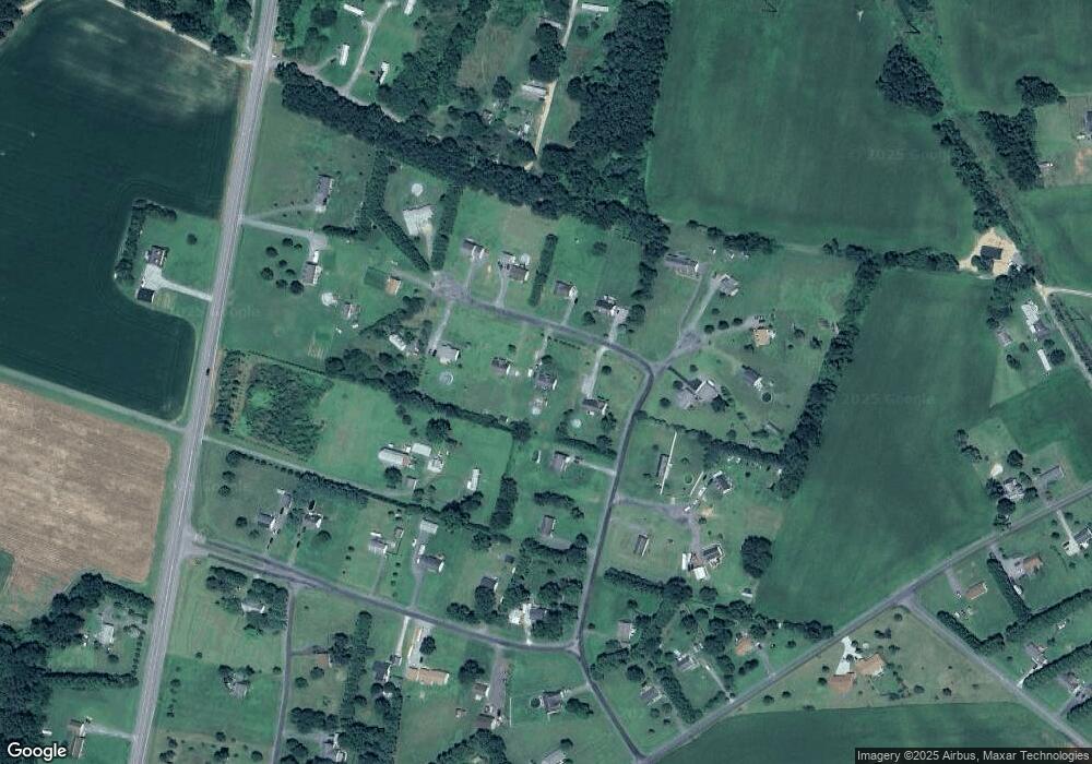
Map
Nearby Homes
- 4311 E Pheasant Dr
- 7009 Beulah Rd
- 6905 Lowery Ct
- 3345 Gallagher Rd
- 3485 Gallagher Rd
- 4308 Blink Horn Rd
- 6706 Jayar Way
- 212 Main St
- 113 Chambers St
- 162 Main St
- 158 Wright St
- 113 Lednum Ave
- 148 Main St
- 106 Lednum Ave
- 6713 Bens Ln
- 6808 Hallowell Dr
- 4445 Rolling Acres Dr
- 0 Wrights Rest Rd Unit MDDO2009790
- Lot 1 Dover Bridge Rd
- 3069 Choptank Rd
- 4305 Whitetail Ln
- 4309 Whitetail Ln
- 6912 Quail Run
- 4310 Whitetail Ln
- 4308 Whitetail Ln
- 4303 Whitetail Ln
- 4306 Whitetail Ln
- 6945 E New Market Ellwood Rd
- 6910 Quail Run
- 6913 Quail Run
- 6917 Quail Run
- 4304 Whitetail Ln
- 4301 Whitetail Ln
- 6918 Quail Run
- 6909 Quail Run
- 4300 Whitetail Ln
- 4310 E Pheasant Dr
- 6919 Quail Run
- 6920 Quail Run
- 4312 E Pheasant Dr