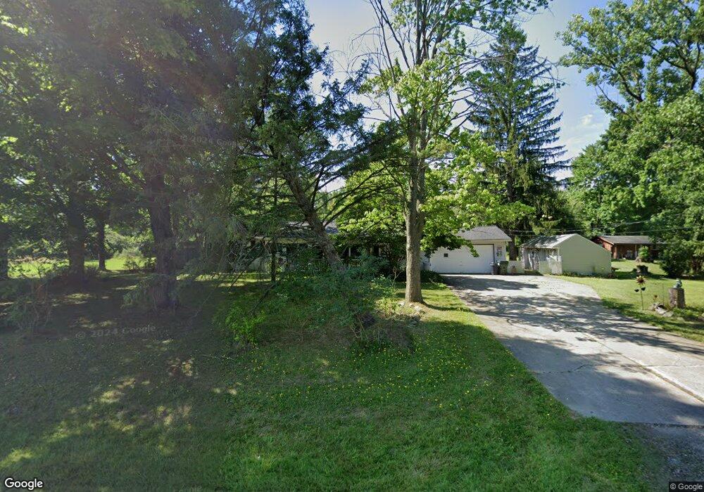
4308 Kiowa Rd Richfield, OH 44286
Estimated Value: $349,444 - $492,000
4
Beds
2
Baths
1,808
Sq Ft
$223/Sq Ft
Est. Value
About This Home
This home is located at 4308 Kiowa Rd, Richfield, OH 44286 and is currently estimated at $403,611, approximately $223 per square foot. 4308 Kiowa Rd is a home located in Summit County with nearby schools including Richfield Elementary School, Bath Elementary School, and Revere Middle School.
Ownership History
Date
Name
Owned For
Owner Type
Purchase Details
Closed on
Sep 2, 1994
Sold by
Skapura Christopher M
Bought by
Santangelo Vincent A and Santangelo Ethel
Current Estimated Value
Home Financials for this Owner
Home Financials are based on the most recent Mortgage that was taken out on this home.
Original Mortgage
$78,700
Interest Rate
8.59%
Mortgage Type
New Conventional
Create a Home Valuation Report for This Property
The Home Valuation Report is an in-depth analysis detailing your home's value as well as a comparison with similar homes in the area
Home Values in the Area
Average Home Value in this Area
Purchase History
| Date | Buyer | Sale Price | Title Company |
|---|---|---|---|
| Santangelo Vincent A | $112,500 | -- |
Source: Public Records
Mortgage History
| Date | Status | Borrower | Loan Amount |
|---|---|---|---|
| Closed | Santangelo Vincent A | $78,700 |
Source: Public Records
Tax History Compared to Growth
Tax History
| Year | Tax Paid | Tax Assessment Tax Assessment Total Assessment is a certain percentage of the fair market value that is determined by local assessors to be the total taxable value of land and additions on the property. | Land | Improvement |
|---|---|---|---|---|
| 2025 | $4,417 | $95,981 | $25,214 | $70,767 |
| 2024 | $4,417 | $95,981 | $25,214 | $70,767 |
| 2023 | $4,417 | $95,981 | $25,214 | $70,767 |
| 2022 | $2,949 | $59,063 | $14,833 | $44,230 |
| 2021 | $2,964 | $59,063 | $14,833 | $44,230 |
| 2020 | $2,846 | $59,060 | $14,830 | $44,230 |
| 2019 | $2,540 | $50,770 | $14,090 | $36,680 |
| 2018 | $2,515 | $50,770 | $14,090 | $36,680 |
| 2017 | $2,541 | $50,770 | $14,090 | $36,680 |
| 2016 | $2,642 | $50,770 | $14,090 | $36,680 |
| 2015 | $2,541 | $50,770 | $14,090 | $36,680 |
| 2014 | $2,517 | $50,770 | $14,090 | $36,680 |
| 2013 | $2,370 | $50,860 | $14,090 | $36,770 |
Source: Public Records
Map
Nearby Homes
- 5266 Chickasaw Rd
- 4350 E Boston Rd
- 1830 E Boston Rd
- Tuscany Plan at Bordeaux Crossings
- Sonoma Plan at Bordeaux Crossings
- Napa Valley Plan at Bordeaux Crossings
- Mendoza Plan at Bordeaux Crossings
- Barossa Plan at Bordeaux Crossings
- 425 Bordeaux Blvd
- 433 Bordeaux Blvd
- 456 Bordeaux Blvd
- 421 Bordeaux Blvd
- 14 Meadow Crest Cir
- 5055 Timber Edge Dr
- 10369 Broadview Rd
- 1016 Kendal Dr
- 10305 Broadview Rd
- 5554 Ridgewood Ln
- 4711 Deer Creek Cir
- 4759 Sentinel Dr