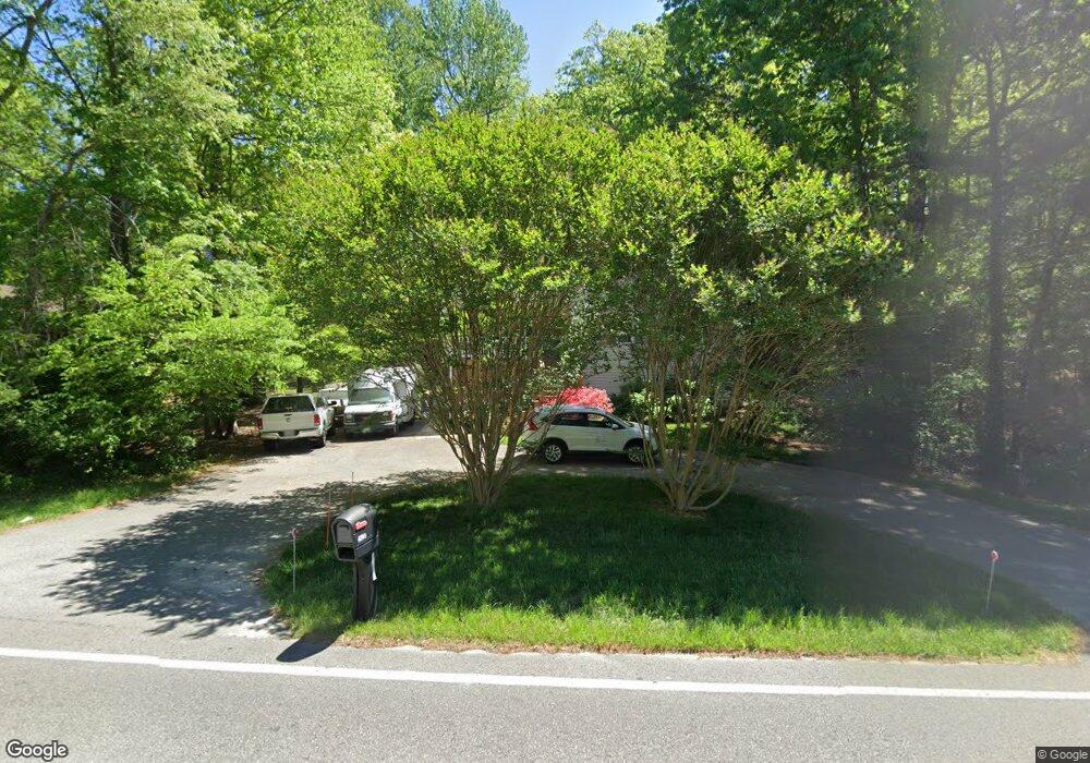
4309 Newbys Bridge Rd Chesterfield, VA 23832
North Chesterfield NeighborhoodEstimated Value: $315,000 - $328,000
3
Beds
2
Baths
1,245
Sq Ft
$259/Sq Ft
Est. Value
About This Home
This home is located at 4309 Newbys Bridge Rd, Chesterfield, VA 23832 and is currently estimated at $322,346, approximately $258 per square foot. 4309 Newbys Bridge Rd is a home located in Chesterfield County with nearby schools including Jacobs Road Elementary School, Manchester Middle School, and Clover Hill High.
Ownership History
Date
Name
Owned For
Owner Type
Purchase Details
Closed on
Mar 18, 1997
Sold by
White Oak Construction Co
Bought by
Hodges Karen E
Current Estimated Value
Home Financials for this Owner
Home Financials are based on the most recent Mortgage that was taken out on this home.
Original Mortgage
$89,850
Outstanding Balance
$10,944
Interest Rate
7.79%
Mortgage Type
FHA
Estimated Equity
$311,402
Create a Home Valuation Report for This Property
The Home Valuation Report is an in-depth analysis detailing your home's value as well as a comparison with similar homes in the area
Home Values in the Area
Average Home Value in this Area
Purchase History
| Date | Buyer | Sale Price | Title Company |
|---|---|---|---|
| Hodges Karen E | $90,000 | -- |
Source: Public Records
Mortgage History
| Date | Status | Borrower | Loan Amount |
|---|---|---|---|
| Open | Hodges Karen E | $89,850 |
Source: Public Records
Tax History Compared to Growth
Tax History
| Year | Tax Paid | Tax Assessment Tax Assessment Total Assessment is a certain percentage of the fair market value that is determined by local assessors to be the total taxable value of land and additions on the property. | Land | Improvement |
|---|---|---|---|---|
| 2025 | $2,538 | $282,400 | $50,400 | $232,000 |
| 2024 | $2,538 | $265,800 | $45,900 | $219,900 |
| 2023 | $2,084 | $229,000 | $40,500 | $188,500 |
| 2022 | $1,991 | $216,400 | $40,500 | $175,900 |
| 2021 | $1,838 | $186,500 | $38,700 | $147,800 |
| 2020 | $1,739 | $183,000 | $37,800 | $145,200 |
| 2019 | $1,681 | $176,900 | $36,900 | $140,000 |
| 2018 | $1,600 | $168,400 | $35,100 | $133,300 |
| 2017 | $1,310 | $136,500 | $35,100 | $101,400 |
| 2016 | $1,310 | $136,500 | $35,100 | $101,400 |
| 2015 | $1,331 | $136,000 | $35,100 | $100,900 |
| 2014 | $1,294 | $132,200 | $35,100 | $97,100 |
Source: Public Records
Map
Nearby Homes
- 6988 Leire Ln
- 4201 Kempwood Place
- 8003 Sussex Place
- 7931 Lyndale Dr
- Lexington Plan at Wyntrebrooke Village
- Covington Plan at Wyntrebrooke Village
- Arlington Plan at Wyntrebrooke Village
- Shenandoah Plan at Wyntrebrooke Village
- Louisa Plan at Wyntrebrooke Village
- 7949 Lyndale Dr
- 7961 Lyndale Dr
- 4029 Flintridge Rd
- 7710 Buttermere Ct
- 4121 Foxglove Rd
- 4884 Wedgemere Rd
- 3403 Fallbrooke Ct
- 3832 Foxglove Rd
- 3929 Litchfield Dr
- 4212 Brixton Rd
- 4344 Collingswood Dr
- 4313 Newbys Bridge Rd
- 4305 Newbys Bridge Rd
- 8104 Kempwood Dr
- 4301 Newbys Bridge Rd
- 4317 Newbys Bridge Rd
- 8106 Kempwood Dr
- 8102 Kempwood Dr
- 4208 Kempwood Ct
- 4206 Kempwood Ct
- 4204 Kempwood Ct
- 4321 Newbys Bridge Rd
- 4210 Kempwood Ct
- 8108 Kempwood Dr
- 6972 Leire Ln
- 6996 Leire Ln
- 6984 Leire Ln
- 6964 Leire Ln
- 6968 Leire Ln
- 6976 Leire Ln
- 6960 Leire Ln