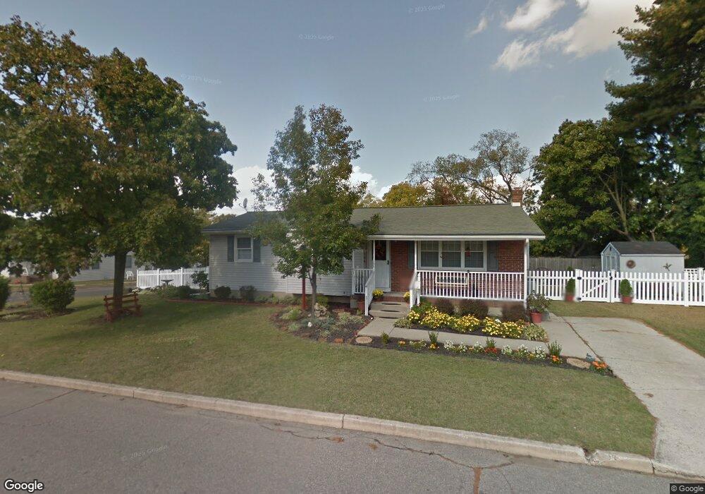
431 2nd St Paulsboro, NJ 08066
Estimated Value: $265,873 - $316,000
--
Bed
--
Bath
1,104
Sq Ft
$261/Sq Ft
Est. Value
About This Home
This home is located at 431 2nd St, Paulsboro, NJ 08066 and is currently estimated at $287,718, approximately $260 per square foot. 431 2nd St is a home located in Gloucester County with nearby schools including Billingsport Elementary School, Loudenslager Elementary School, and Paulsboro High School.
Ownership History
Date
Name
Owned For
Owner Type
Purchase Details
Closed on
Mar 31, 2005
Sold by
Sabatini Mary Jo
Bought by
Fay Sandy Laura
Current Estimated Value
Home Financials for this Owner
Home Financials are based on the most recent Mortgage that was taken out on this home.
Original Mortgage
$33,000
Outstanding Balance
$16,941
Interest Rate
5.7%
Mortgage Type
Fannie Mae Freddie Mac
Estimated Equity
$270,777
Purchase Details
Closed on
Sep 26, 1997
Sold by
Manning Brian L and Manning Terri L
Bought by
Sabatini Mary Jo
Home Financials for this Owner
Home Financials are based on the most recent Mortgage that was taken out on this home.
Original Mortgage
$78,000
Interest Rate
7.41%
Create a Home Valuation Report for This Property
The Home Valuation Report is an in-depth analysis detailing your home's value as well as a comparison with similar homes in the area
Home Values in the Area
Average Home Value in this Area
Purchase History
| Date | Buyer | Sale Price | Title Company |
|---|---|---|---|
| Fay Sandy Laura | $136,950 | Weichert | |
| Sabatini Mary Jo | $84,000 | -- |
Source: Public Records
Mortgage History
| Date | Status | Borrower | Loan Amount |
|---|---|---|---|
| Open | Fay Sandy Laura | $33,000 | |
| Previous Owner | Sabatini Mary Jo | $78,000 |
Source: Public Records
Tax History Compared to Growth
Tax History
| Year | Tax Paid | Tax Assessment Tax Assessment Total Assessment is a certain percentage of the fair market value that is determined by local assessors to be the total taxable value of land and additions on the property. | Land | Improvement |
|---|---|---|---|---|
| 2025 | $5,350 | $121,600 | $28,700 | $92,900 |
| 2024 | $5,346 | $121,600 | $28,700 | $92,900 |
| 2023 | $5,346 | $121,600 | $28,700 | $92,900 |
| 2022 | $5,248 | $121,600 | $28,700 | $92,900 |
| 2021 | $4,825 | $121,600 | $28,700 | $92,900 |
| 2020 | $5,115 | $121,600 | $28,700 | $92,900 |
| 2019 | $4,954 | $121,600 | $28,700 | $92,900 |
| 2018 | $4,671 | $121,600 | $28,700 | $92,900 |
| 2017 | $4,651 | $121,600 | $28,700 | $92,900 |
| 2016 | $4,431 | $121,600 | $28,700 | $92,900 |
| 2015 | $4,406 | $121,600 | $28,700 | $92,900 |
| 2014 | $4,665 | $138,500 | $25,700 | $112,800 |
Source: Public Records
Map
Nearby Homes
- 279 Lincoln Ave
- 242 Billingsport Rd
- 300 Lincoln Ave
- 334 Lincoln Ave
- 400 Billings Ave
- 424 Sheridan Ave
- 423 Sheridan Ave
- 500 Greenwich Ave
- 521 N Delaware St
- 546 Billings Ave
- 591 N Delaware St Unit M10
- 53 Capitol St
- 53-55 Roosevelt St
- 46 Roosevelt St
- 212 E Jefferson St
- 27 29 E Adams St
- 140 142 W Jefferson St
- 106 E Adams St
- 28 W Jefferson St
- 28 E Adams St
- 123 Billingsport Rd
- 425 2nd St
- 193 Lincoln Ave
- 206 Nassau Ave
- 120 Billingsport Rd
- 124 Unit B Billingsport Rd
- 124 Unit A Billingsport Rd
- 124 Billingsport Rd
- L17 Billingsport Rd
- 208 Nassau Ave
- 201 Lincoln Ave
- 95 Benners Ave
- 106 Billingsport Rd
- 106 Billingsport Rd
- 210 Nassau Ave
- 141 Nassau Ave
- 205 Lincoln Ave
- 201 Nassau Ave
- 100 Billingsport Rd
- 220 Nassau Ave