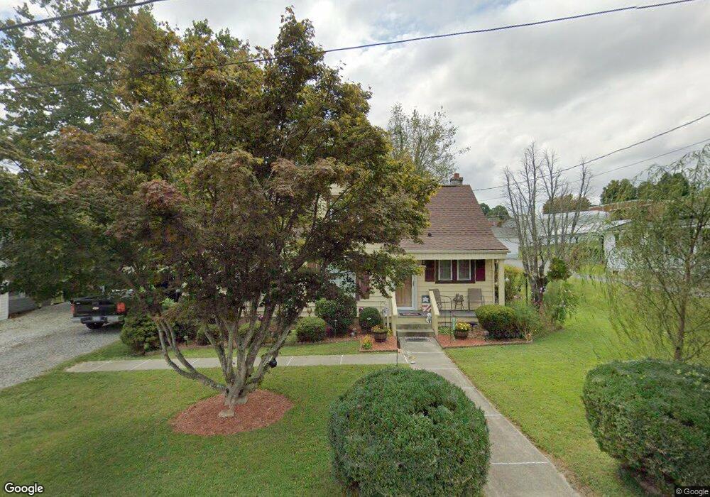
431 Broad St Mount Airy, NC 27030
Estimated Value: $173,000 - $192,000
3
Beds
1
Bath
1,257
Sq Ft
$146/Sq Ft
Est. Value
About This Home
This home is located at 431 Broad St, Mount Airy, NC 27030 and is currently estimated at $184,000, approximately $146 per square foot. 431 Broad St is a home located in Surry County with nearby schools including Bruce H. Tharrington Elementary School, Mount Airy Middle School, and Mount Airy High School.
Ownership History
Date
Name
Owned For
Owner Type
Purchase Details
Closed on
May 1, 2018
Sold by
Jones Egbert D and Jones Mildred S
Bought by
Goad James L and Goad Angela D
Current Estimated Value
Home Financials for this Owner
Home Financials are based on the most recent Mortgage that was taken out on this home.
Original Mortgage
$91,919
Outstanding Balance
$78,975
Interest Rate
4.4%
Mortgage Type
Purchase Money Mortgage
Estimated Equity
$105,025
Purchase Details
Closed on
Feb 1, 1975
Create a Home Valuation Report for This Property
The Home Valuation Report is an in-depth analysis detailing your home's value as well as a comparison with similar homes in the area
Home Values in the Area
Average Home Value in this Area
Purchase History
| Date | Buyer | Sale Price | Title Company |
|---|---|---|---|
| Goad James L | $90,000 | -- | |
| -- | -- | -- |
Source: Public Records
Mortgage History
| Date | Status | Borrower | Loan Amount |
|---|---|---|---|
| Open | Goad James L | $91,919 |
Source: Public Records
Tax History Compared to Growth
Tax History
| Year | Tax Paid | Tax Assessment Tax Assessment Total Assessment is a certain percentage of the fair market value that is determined by local assessors to be the total taxable value of land and additions on the property. | Land | Improvement |
|---|---|---|---|---|
| 2025 | $677 | $103,920 | $9,600 | $94,320 |
| 2024 | $609 | $84,950 | $9,600 | $75,350 |
| 2023 | $600 | $84,950 | $9,600 | $75,350 |
| 2022 | $614 | $87,200 | $9,600 | $77,600 |
| 2021 | $624 | $87,200 | $9,600 | $77,600 |
| 2020 | $550 | $76,540 | $9,600 | $66,940 |
| 2019 | $547 | $72,940 | $0 | $0 |
| 2018 | $501 | $72,940 | $0 | $0 |
| 2017 | $506 | $67,530 | $0 | $0 |
| 2016 | $500 | $67,530 | $0 | $0 |
| 2013 | -- | $71,170 | $0 | $0 |
Source: Public Records
Map
Nearby Homes
- 722 Maiden Ln
- 220 Broad St
- 704 E Haymore St
- 802 Spring St
- 1023 Spring St
- 455 Franklin St
- 165 Virginia St Unit 309
- 165 Virginia St Unit 206
- 00 Hillcrest Dr
- 400 Cherry St
- 1122 Viewland Ave
- .58 Newsome St
- 342 Moore Ave
- 2019 Woodland Dr
- 226 Hamburg St
- 00 Carroll St
- 607 N Main St
- 411 Pippen St
- 415 Pippen St
- 1513 Pittman St
- 423 Broad St
- 503 Broad St
- 505 Broad St
- 337 W Church St
- 419 W Easter Dr Unit DRW
- 415 Broad St
- 504 Broad St
- 416 Broad St
- 333 W Church St
- 523 Broad St
- 330 W Church St Unit STW
- 431 Rockford St
- 417 W Easter Dr Unit DRW
- 410 Broad St
- 439 Rockford St
- 720 Creed St
- 510 Broad St
- 326 W Church St Unit STW
- 325 W Church St Unit STW
- 712 Creed St