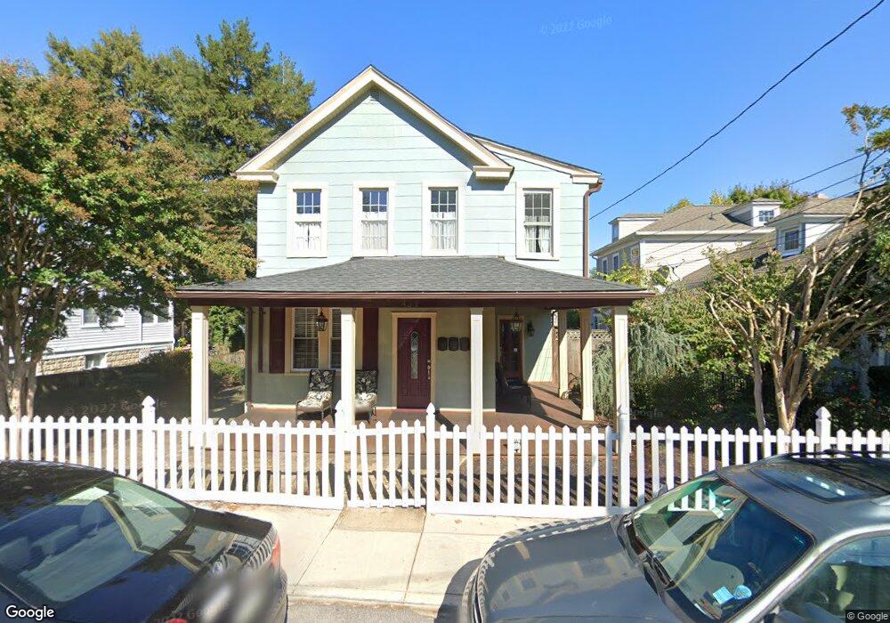
431 Burnside St Annapolis, MD 21403
Eastport NeighborhoodEstimated Value: $994,000 - $1,353,000
Studio
3
Baths
2,228
Sq Ft
$516/Sq Ft
Est. Value
About This Home
This home is located at 431 Burnside St, Annapolis, MD 21403 and is currently estimated at $1,149,142, approximately $515 per square foot. 431 Burnside St is a home located in Anne Arundel County with nearby schools including Eastport Elementary School, Annapolis Middle School, and Annapolis High School.
Ownership History
Date
Name
Owned For
Owner Type
Purchase Details
Closed on
Nov 17, 2009
Sold by
Mcdowell Jack
Bought by
Maholchic Michael K
Current Estimated Value
Purchase Details
Closed on
May 9, 2008
Sold by
Maholchic Michael K
Bought by
Mcdowell Jack
Purchase Details
Closed on
Apr 4, 2008
Sold by
Maholchic Michael K
Bought by
Mcdowell Jack
Purchase Details
Closed on
Sep 18, 2000
Sold by
Maholchic Michael K
Bought by
Maholchic Michael K and Hartson Beverly
Create a Home Valuation Report for This Property
The Home Valuation Report is an in-depth analysis detailing your home's value as well as a comparison with similar homes in the area
Home Values in the Area
Average Home Value in this Area
Purchase History
| Date | Buyer | Sale Price | Title Company |
|---|---|---|---|
| Maholchic Michael K | -- | -- | |
| Mcdowell Jack | -- | -- | |
| Mcdowell Jack | -- | -- | |
| Maholchic Michael K | -- | -- |
Source: Public Records
Tax History
| Year | Tax Paid | Tax Assessment Tax Assessment Total Assessment is a certain percentage of the fair market value that is determined by local assessors to be the total taxable value of land and additions on the property. | Land | Improvement |
|---|---|---|---|---|
| 2025 | $8,527 | $852,667 | -- | -- |
| 2024 | $8,527 | $792,833 | $0 | $0 |
| 2023 | $7,921 | $733,000 | $486,000 | $247,000 |
| 2022 | $7,486 | $694,600 | $0 | $0 |
| 2021 | $6,776 | $656,200 | $0 | $0 |
| 2020 | $6,776 | $617,800 | $449,300 | $168,500 |
| 2019 | $6,611 | $602,067 | $0 | $0 |
| 2018 | $6,392 | $586,333 | $0 | $0 |
| 2017 | $5,594 | $570,600 | $0 | $0 |
| 2016 | -- | $522,433 | $0 | $0 |
| 2015 | -- | $499,267 | $0 | $0 |
| 2014 | -- | $426,100 | $0 | $0 |
Source: Public Records
Map
Nearby Homes
- 400 Chesapeake Ave Unit 2-101
- 301 Burnside St
- 289 State St Unit 4
- 320 Chester Ave
- 422 Third St
- 287 State St Unit 2
- 312 Severn Ave
- 312 Severn Ave Unit W-401
- 312 Severn Ave
- 200 Chesapeake Ave
- 148 Jefferson St
- 936 Bay Ridge Ave Unit 306
- 120 Chesapeake Ave
- 9 Shipwright St
- 1 Shipwright Harbor
- 790 Fairview Ave Unit 790 C
- 1106 Brashears St
- 513 Horn Point Dr
- 3 Klakring Ct
- 1109 Boucher Ave
- 431 Burnside St Unit COTTAGE
- 431 Burnside St Unit BEHIND HOUSE
- 433 Burnside St
- 429 Burnside St
- 427 Burnside St
- 700 Chesapeake Ave
- 435 Burnside St
- 423 Burnside St
- 621 Bay Ridge Ave
- 501 Burnside St
- 414-5 Sixth St
- 704 Chesapeake Ave
- 426 Burnside St
- 619 Chesapeake Ave
- 424 Sixth St
- 418 Sixth St
- 617 Chesapeake Ave
- 701 Chesapeake Ave
- 422 Sixth St
- 706 Chesapeake Ave
Your Personal Tour Guide
Ask me questions while you tour the home.