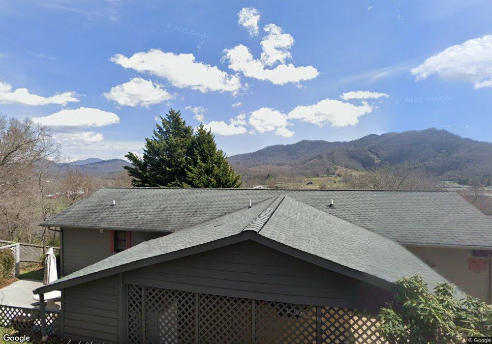
431 Cedarwood Dr Unit 32 Waynesville, NC 28785
Estimated Value: $317,000 - $352,000
2
Beds
2
Baths
1,160
Sq Ft
$294/Sq Ft
Est. Value
About This Home
This home is located at 431 Cedarwood Dr Unit 32, Waynesville, NC 28785 and is currently estimated at $340,906, approximately $293 per square foot. 431 Cedarwood Dr Unit 32 is a home located in Haywood County with nearby schools including Jonathan Valley Elementary School, Waynesville Middle, and Tuscola High.
Ownership History
Date
Name
Owned For
Owner Type
Purchase Details
Closed on
Jun 10, 2024
Sold by
Corley Marion W B
Bought by
Quinn Charles Hugh and Ball Patricia Ann
Current Estimated Value
Home Financials for this Owner
Home Financials are based on the most recent Mortgage that was taken out on this home.
Original Mortgage
$238,095
Outstanding Balance
$235,171
Interest Rate
7.22%
Mortgage Type
FHA
Estimated Equity
$105,735
Purchase Details
Closed on
Oct 16, 1998
Bought by
Corley Marion W B
Create a Home Valuation Report for This Property
The Home Valuation Report is an in-depth analysis detailing your home's value as well as a comparison with similar homes in the area
Home Values in the Area
Average Home Value in this Area
Purchase History
| Date | Buyer | Sale Price | Title Company |
|---|---|---|---|
| Quinn Charles Hugh | $325,000 | None Listed On Document | |
| Corley Marion W B | $93,000 | -- |
Source: Public Records
Mortgage History
| Date | Status | Borrower | Loan Amount |
|---|---|---|---|
| Open | Quinn Charles Hugh | $238,095 |
Source: Public Records
Tax History Compared to Growth
Tax History
| Year | Tax Paid | Tax Assessment Tax Assessment Total Assessment is a certain percentage of the fair market value that is determined by local assessors to be the total taxable value of land and additions on the property. | Land | Improvement |
|---|---|---|---|---|
| 2025 | -- | $205,400 | $25,300 | $180,100 |
| 2024 | $1,324 | $187,900 | $25,300 | $162,600 |
| 2023 | $1,296 | $187,900 | $25,300 | $162,600 |
| 2022 | $1,296 | $187,900 | $25,300 | $162,600 |
| 2021 | $1,296 | $187,900 | $25,300 | $162,600 |
| 2020 | $1,064 | $138,100 | $20,300 | $117,800 |
| 2019 | $1,069 | $138,100 | $20,300 | $117,800 |
| 2018 | $1,069 | $138,100 | $20,300 | $117,800 |
| 2017 | $1,069 | $138,100 | $0 | $0 |
| 2016 | $1,010 | $133,000 | $0 | $0 |
| 2015 | $1,010 | $133,000 | $0 | $0 |
| 2014 | $905 | $133,000 | $0 | $0 |
Source: Public Records
Map
Nearby Homes
- 443 Cedarwood Dr
- 284 Aqua Vista Loop
- 71 Flat Creek Dr
- 25 Summer Place Dr
- 297 Mallard Loop
- 52 Strollers Ln
- 222 Pike Point
- 158 Summer Place Dr
- 217 Mallard Loop
- 158 & 161 Summer Place Dr
- 161 Summer Place Dr
- 164 Carsen Loop
- 113 Bronco Way
- 43 Pike Point
- 0 Asa Trail
- Lot 23 Asa Trail
- 64 Cradling Cove
- 0 Cradling Cove Unit 3
- 169 Sunshine Cove Rd
- 00 Buckeye Dr Unit 35
- 431 Cedarwood Dr
- 407 Cedarwood Dr
- 308 Midland Dr
- 304 Midland Dr
- 391 Cedarwood Dr
- 289 Midland Dr
- 375 Cedarwood Dr
- 292 Midland Dr
- 35 Cedarwood Dr
- 495 Cedarwood Dr
- 275 Midland Dr
- 500 Grindstone Rd
- 284 Midland Dr
- 356 Cedarwood Dr
- 339 Cedarwood Dr
- 560 Grindstone Rd
- 265 Midland Dr
- 260 Midland Dr
- 338 Cedarwood Dr
- 524 Cedarwood Dr