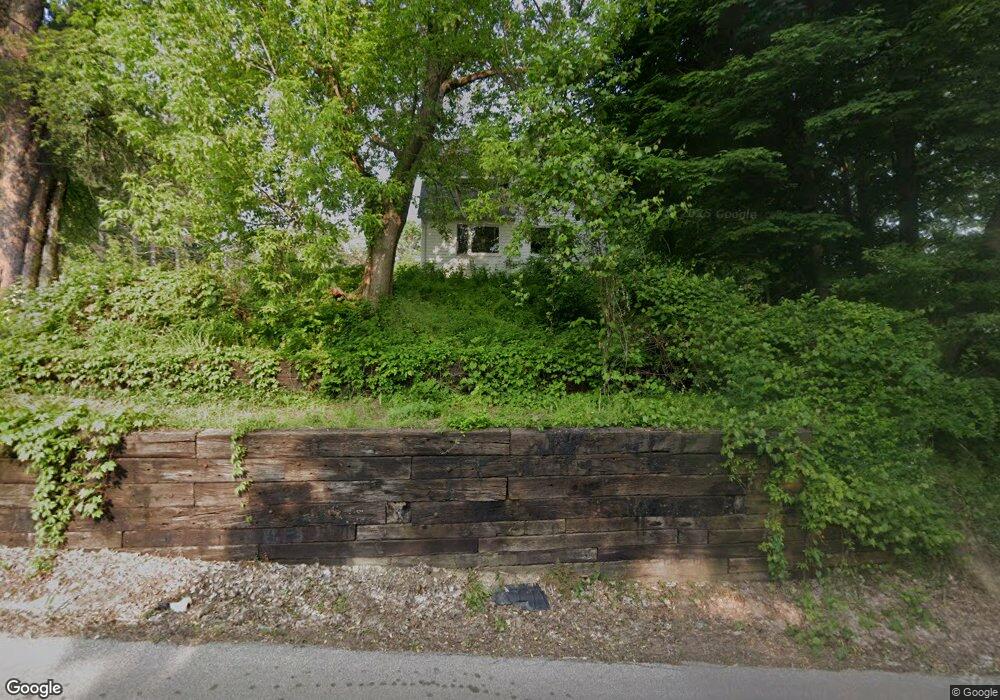
431 Center Rd Conneaut, OH 44030
Estimated Value: $154,358 - $169,000
3
Beds
1
Bath
1,391
Sq Ft
$115/Sq Ft
Est. Value
About This Home
This home is located at 431 Center Rd, Conneaut, OH 44030 and is currently estimated at $160,340, approximately $115 per square foot. 431 Center Rd is a home located in Ashtabula County with nearby schools including Lakeshore Primary Elementary School, Gateway Elementary School, and Conneaut Middle School.
Ownership History
Date
Name
Owned For
Owner Type
Purchase Details
Closed on
Jul 19, 2011
Sold by
Manley Mary E and Manley Leonard A
Bought by
Logan Daniel Lloyd
Current Estimated Value
Home Financials for this Owner
Home Financials are based on the most recent Mortgage that was taken out on this home.
Original Mortgage
$49,900
Outstanding Balance
$34,540
Interest Rate
4.64%
Mortgage Type
New Conventional
Estimated Equity
$125,800
Purchase Details
Closed on
Jun 23, 2011
Sold by
Estate Of Steve A Madarasz
Bought by
Manley Mary E
Home Financials for this Owner
Home Financials are based on the most recent Mortgage that was taken out on this home.
Original Mortgage
$49,900
Outstanding Balance
$34,540
Interest Rate
4.64%
Mortgage Type
New Conventional
Estimated Equity
$125,800
Create a Home Valuation Report for This Property
The Home Valuation Report is an in-depth analysis detailing your home's value as well as a comparison with similar homes in the area
Home Values in the Area
Average Home Value in this Area
Purchase History
| Date | Buyer | Sale Price | Title Company |
|---|---|---|---|
| Logan Daniel Lloyd | $49,900 | Chicago Title Agency | |
| Manley Mary E | -- | None Available |
Source: Public Records
Mortgage History
| Date | Status | Borrower | Loan Amount |
|---|---|---|---|
| Open | Logan Daniel Lloyd | $49,900 |
Source: Public Records
Tax History Compared to Growth
Tax History
| Year | Tax Paid | Tax Assessment Tax Assessment Total Assessment is a certain percentage of the fair market value that is determined by local assessors to be the total taxable value of land and additions on the property. | Land | Improvement |
|---|---|---|---|---|
| 2024 | $2,350 | $32,130 | $5,600 | $26,530 |
| 2023 | $1,494 | $32,130 | $5,600 | $26,530 |
| 2022 | $1,348 | $25,520 | $4,310 | $21,210 |
| 2021 | $1,372 | $25,520 | $4,310 | $21,210 |
| 2020 | $1,371 | $25,520 | $4,310 | $21,210 |
| 2019 | $1,460 | $26,710 | $2,870 | $23,840 |
| 2018 | $1,392 | $26,710 | $2,870 | $23,840 |
| 2017 | $1,319 | $26,710 | $2,870 | $23,840 |
| 2016 | $1,235 | $25,870 | $2,770 | $23,100 |
| 2015 | $1,248 | $25,870 | $2,770 | $23,100 |
| 2014 | $1,099 | $25,870 | $2,770 | $23,100 |
| 2013 | $1,073 | $25,970 | $3,850 | $22,120 |
Source: Public Records
Map
Nearby Homes
- 18 Hillcrest Ct
- 919 Lincoln Dr
- 247 Whitney St
- 681 Madison St
- 251 St Rt 7
- 527 State St
- 455 Main St
- VL Center Rd
- 354 Main St
- 0 Dorman Rd
- 210 W Main Rd
- 429 Depot St
- 459 Mill St
- 202 W Main Rd Unit Lot 150
- 448 Sandusky St Unit 450
- 289 Harbor St
- 405 Bliss Ave
- 220 Daniels Ave
- 381 Bliss Ave
- 0 Chestnut St Unit 5120761