431 Eagle Trace Cleveland, OH 44124
Estimated Value: $236,066 - $258,000
2
Beds
2
Baths
1,757
Sq Ft
$141/Sq Ft
Est. Value
About This Home
This home is located at 431 Eagle Trace, Cleveland, OH 44124 and is currently estimated at $248,517, approximately $141 per square foot. 431 Eagle Trace is a home located in Cuyahoga County with nearby schools including Mayfield High School, Gilmour Academy, and University School.
Ownership History
Date
Name
Owned For
Owner Type
Purchase Details
Closed on
Jun 26, 2007
Sold by
Karns Maxine B
Bought by
Karns Maxine and The Maxine Kars Trust
Current Estimated Value
Purchase Details
Closed on
Jan 1, 1994
Bought by
Karns Maxine B
Create a Home Valuation Report for This Property
The Home Valuation Report is an in-depth analysis detailing your home's value as well as a comparison with similar homes in the area
Home Values in the Area
Average Home Value in this Area
Purchase History
| Date | Buyer | Sale Price | Title Company |
|---|---|---|---|
| Karns Maxine | -- | Attorney | |
| Karns Maxine B | -- | -- |
Source: Public Records
Tax History
| Year | Tax Paid | Tax Assessment Tax Assessment Total Assessment is a certain percentage of the fair market value that is determined by local assessors to be the total taxable value of land and additions on the property. | Land | Improvement |
|---|---|---|---|---|
| 2025 | $3,500 | $63,175 | $6,335 | $56,840 |
| 2024 | $3,520 | $63,175 | $6,335 | $56,840 |
| 2023 | $3,133 | $53,240 | $5,360 | $47,880 |
| 2022 | $3,265 | $53,240 | $5,360 | $47,880 |
| 2021 | $3,232 | $53,240 | $5,360 | $47,880 |
| 2020 | $3,172 | $48,830 | $4,900 | $43,930 |
| 2019 | $3,074 | $139,500 | $14,000 | $125,500 |
| 2018 | $1,529 | $48,830 | $4,900 | $43,930 |
| 2017 | $2,969 | $45,120 | $4,520 | $40,600 |
| 2016 | $2,946 | $45,120 | $4,520 | $40,600 |
| 2015 | $3,530 | $45,120 | $4,520 | $40,600 |
| 2014 | $3,530 | $56,390 | $5,640 | $50,750 |
Source: Public Records
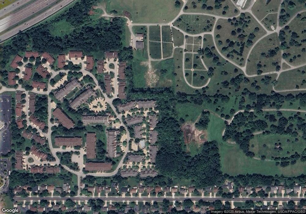
Map
Nearby Homes
- 402 Eagle Trace
- 220 Fox Hollow Dr Unit 212
- 220 Fox Hollow Dr
- 469 Eagle Trace
- 160 Fox Hollow Dr Unit 406D
- 6419 Longridge Rd
- 6656 Woodhawk Dr
- 1606 Parker Dr
- 6108 Westerham Rd
- 6617 Kingswood Dr
- 1730 Alcester Rd
- 1402 Golden Gate Blvd Unit G206
- 46 Bridgeport Way
- 1372 Golden Gate Blvd Unit B201
- 5953 Ashcroft Dr
- 191 Bridgeport Way
- 6807 Larchmont Dr
- 0 Maplewood Rd
- S/L 1 Bridgeport Way
- 1321 Genesee Ave
- 429 Eagle Trace Unit 429
- 435 Eagle Trace Unit B435
- 423 Eagle Trace
- 421 Eagle Trace Unit B421
- 419 Eagle Trace Unit B419
- 427 Eagle Trace Unit B427
- 425 Eagle Trac Unit 425
- 417 Eagle Trace Unit A417
- 417 Eagle Trace Unit 41
- 437 Eagle Trace Unit 353A
- 443 Eagle Trace Unit C443
- 447 Eagle Trace Unit C447
- 441 Eagle Trace Unit C441
- 445 Eagle Trace Unit C445
- 439 Eagle Trace Unit C439
- 408 Eagle Trace Unit J408
- 414 Eagle Trace Unit J
- 400 Eagle Trace
- 412 Eagle Trace
- 414 Eagle Trace
Your Personal Tour Guide
Ask me questions while you tour the home.