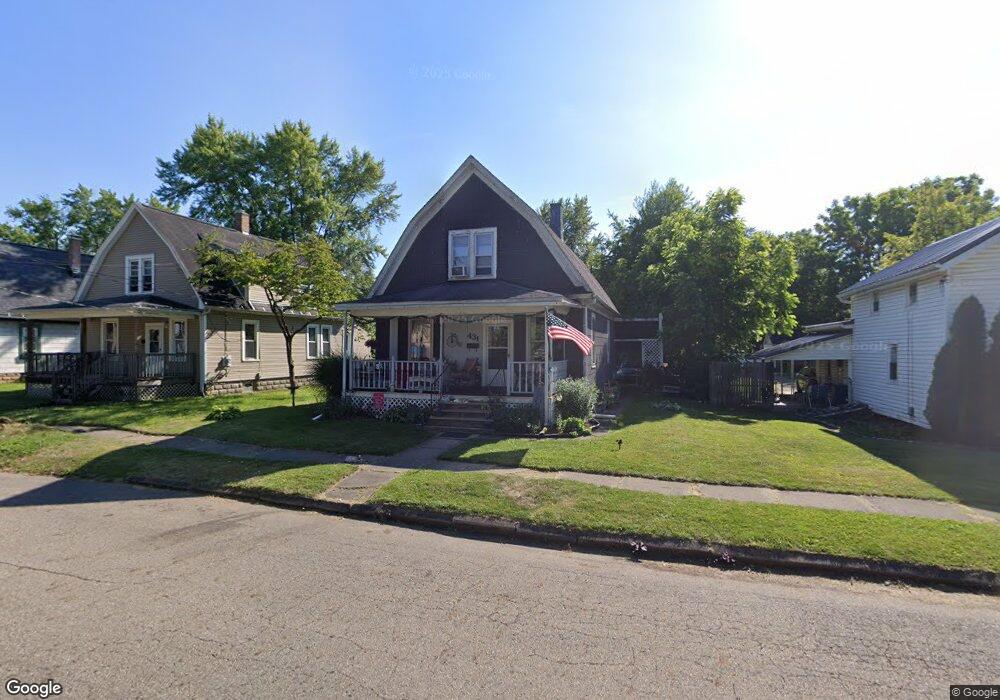
431 Euclid St SW Massillon, OH 44647
West Massillon NeighborhoodEstimated Value: $76,000 - $100,125
2
Beds
1
Bath
1,440
Sq Ft
$60/Sq Ft
Est. Value
About This Home
This home is located at 431 Euclid St SW, Massillon, OH 44647 and is currently estimated at $86,031, approximately $59 per square foot. 431 Euclid St SW is a home located in Stark County with nearby schools including Massillon Intermediate School, Massillon Junior High School, and Washington High School.
Ownership History
Date
Name
Owned For
Owner Type
Purchase Details
Closed on
Jun 12, 2009
Sold by
Fannie Mae
Bought by
Palmer Robert S and Palmer Linda J
Current Estimated Value
Purchase Details
Closed on
May 28, 2009
Sold by
Rbs Citizens Na
Bought by
Federal National Mortgage Association
Purchase Details
Closed on
Apr 3, 2009
Sold by
Rodgers Brenda L
Bought by
Rbs Citizens Na and Citizens Bank Na
Purchase Details
Closed on
Sep 4, 1990
Create a Home Valuation Report for This Property
The Home Valuation Report is an in-depth analysis detailing your home's value as well as a comparison with similar homes in the area
Home Values in the Area
Average Home Value in this Area
Purchase History
| Date | Buyer | Sale Price | Title Company |
|---|---|---|---|
| Palmer Robert S | $11,000 | Sovereign Title Agency Llc | |
| Federal National Mortgage Association | $34,000 | None Available | |
| Rbs Citizens Na | $34,000 | None Available | |
| -- | $35,000 | -- |
Source: Public Records
Tax History Compared to Growth
Tax History
| Year | Tax Paid | Tax Assessment Tax Assessment Total Assessment is a certain percentage of the fair market value that is determined by local assessors to be the total taxable value of land and additions on the property. | Land | Improvement |
|---|---|---|---|---|
| 2025 | $1,836 | $23,840 | $8,860 | $14,980 |
| 2024 | $517 | $25,870 | $8,860 | $17,010 |
| 2023 | $1,064 | $19,360 | $7,420 | $11,940 |
| 2022 | $1,022 | $19,360 | $7,420 | $11,940 |
| 2021 | $1,038 | $19,360 | $7,420 | $11,940 |
| 2020 | $890 | $15,610 | $6,090 | $9,520 |
| 2019 | $1,551 | $15,610 | $6,090 | $9,520 |
| 2018 | $1,202 | $15,610 | $6,090 | $9,520 |
| 2017 | $1,234 | $15,270 | $4,800 | $10,470 |
| 2016 | $1,237 | $15,270 | $4,800 | $10,470 |
| 2015 | $1,376 | $15,270 | $4,800 | $10,470 |
| 2014 | $919 | $14,780 | $4,660 | $10,120 |
| 2013 | $464 | $14,780 | $4,660 | $10,120 |
Source: Public Records
Map
Nearby Homes
- 827 9th St SW
- 504 5th St SW
- 878 Liberty Ct SW
- 718 Bebb Ave SW
- 532 4th St SW
- 533 Webb Ave SW
- 315 14th St SW
- 1104 4th St SW
- 1301 Lincoln Way NW
- 101 14th St NW
- 309 15th St NW
- 17 Maple Ave SE
- 202 Rose Ave SE
- 3414 Joyce Ave NW Unit 18
- Lot 42 Joyce Ave NW
- 3447 Marys Way Ave NW
- 3476 Joyce Ave NW Unit 15
- 728 Hillside Place SW
- 1737 Leslie St NW
- 620 1st St NW
- 425 Euclid St SW
- 437 Euclid St SW
- 421 Euclid St SW
- 441 Euclid St SW
- 430 9th St SW
- 503 Euclid St SW
- 424 9th St SW
- 417 Euclid St SW
- 440 9th St SW
- 420 9th St SW
- 429 8th St SW
- 418 Euclid St SW
- 423 8th St SW
- 439 8th St SW
- 509 Euclid St SW
- 829 Green Ave SW
- 446 9th St SW
- 831 Green Ave SW
- 825 Green Ave SW
- 837 Green Ave SW