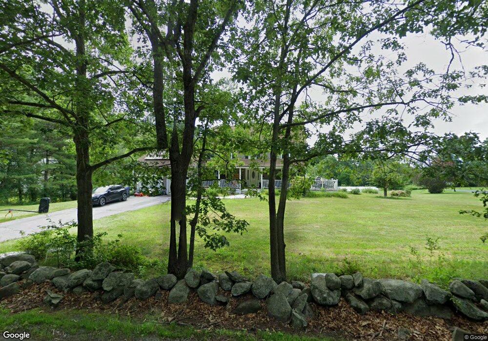
431 Forest St Dunstable, MA 01827
Estimated Value: $797,436 - $854,000
4
Beds
3
Baths
2,570
Sq Ft
$324/Sq Ft
Est. Value
About This Home
This home is located at 431 Forest St, Dunstable, MA 01827 and is currently estimated at $833,359, approximately $324 per square foot. 431 Forest St is a home located in Middlesex County with nearby schools including Groton Dunstable Regional High School and Academy of Notre Dame - Upper School.
Ownership History
Date
Name
Owned For
Owner Type
Purchase Details
Closed on
Apr 18, 2017
Sold by
Lang-Mcnamara Lora J
Bought by
Lang-Mcnamara Lora J and Mcnamara Charles
Current Estimated Value
Purchase Details
Closed on
Feb 19, 2013
Sold by
Lang Janice E Est
Bought by
Mcnamara Lora J
Create a Home Valuation Report for This Property
The Home Valuation Report is an in-depth analysis detailing your home's value as well as a comparison with similar homes in the area
Home Values in the Area
Average Home Value in this Area
Purchase History
| Date | Buyer | Sale Price | Title Company |
|---|---|---|---|
| Lang-Mcnamara Lora J | -- | -- | |
| Mcnamara Lora J | -- | -- |
Source: Public Records
Mortgage History
| Date | Status | Borrower | Loan Amount |
|---|---|---|---|
| Previous Owner | Mcnamara Lora J | $53,000 |
Source: Public Records
Tax History
| Year | Tax Paid | Tax Assessment Tax Assessment Total Assessment is a certain percentage of the fair market value that is determined by local assessors to be the total taxable value of land and additions on the property. | Land | Improvement |
|---|---|---|---|---|
| 2025 | $9,837 | $715,400 | $248,500 | $466,900 |
| 2024 | $8,816 | $631,500 | $224,100 | $407,400 |
| 2023 | $8,810 | $588,500 | $224,100 | $364,400 |
| 2022 | $8,150 | $534,400 | $224,100 | $310,300 |
| 2021 | $0 | $494,500 | $203,800 | $290,700 |
| 2020 | $8,130 | $482,800 | $203,800 | $279,000 |
| 2019 | $7,960 | $466,600 | $203,800 | $262,800 |
| 2018 | $7,833 | $446,600 | $199,700 | $246,900 |
| 2017 | $7,499 | $440,600 | $199,700 | $240,900 |
| 2016 | $7,120 | $430,200 | $191,500 | $238,700 |
| 2015 | $6,901 | $412,500 | $163,800 | $248,700 |
| 2014 | $6,505 | $412,500 | $163,800 | $248,700 |
Source: Public Records
Map
Nearby Homes
- 0 Lowell St
- 16 Cannongate Rd Unit 16
- 160 Westford Rd
- 153 Off Pond St
- 0 Dunstable Rd
- 22 Highland Rd
- 319 Pleasant St
- 103 Pondview Place Unit 103
- 62 Brook St
- 14 Centercrest Dr Unit 14
- 34 Shakespeare St
- 2 Strawberry Bank Rd Unit 17
- 24 Old Tyng Rd
- 56 Frost Rd
- 4 Heritage Village Dr
- 660 Old Dunstable Rd
- 21 Merrimac Way Unit D
- 6 Green Heron Ln Unit U22
- 30 Tamarack Way Unit 30
- 28 Juniper Ln Unit 65
Your Personal Tour Guide
Ask me questions while you tour the home.