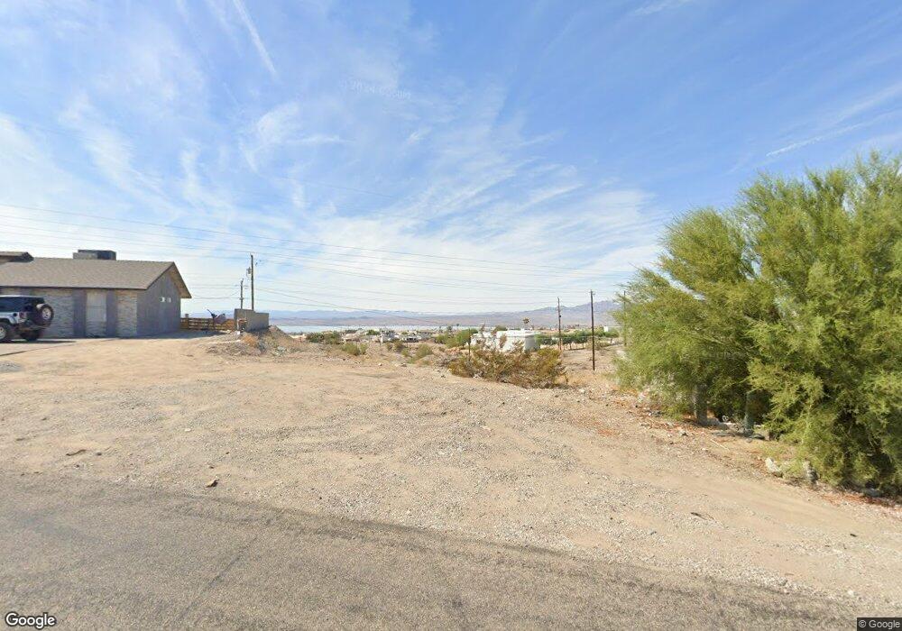
431 Hound Dr Lake Havasu, AR 86404
Estimated Value: $186,000
--
Bed
--
Bath
--
Sq Ft
0.35
Acres
About This Home
This home is located at 431 Hound Dr, Lake Havasu, AR 86404 and is currently estimated at $186,000. 431 Hound Dr is a home located in Mohave County with nearby schools including Havasupai Elementary School, Thunderbolt Middle School, and Lake Havasu High School.
Ownership History
Date
Name
Owned For
Owner Type
Purchase Details
Closed on
Jan 9, 2020
Sold by
Dechomai Asset Trust Number Two Llc
Bought by
Webster Richard and Webster Mary
Current Estimated Value
Home Financials for this Owner
Home Financials are based on the most recent Mortgage that was taken out on this home.
Original Mortgage
$269,000
Outstanding Balance
$184,401
Interest Rate
3.7%
Mortgage Type
New Conventional
Estimated Equity
$1,599
Purchase Details
Closed on
Jan 8, 2020
Sold by
Barker Stephen R and Barker Denise K
Bought by
Thies David L and Thies Beth R
Home Financials for this Owner
Home Financials are based on the most recent Mortgage that was taken out on this home.
Original Mortgage
$269,000
Outstanding Balance
$184,401
Interest Rate
3.7%
Mortgage Type
New Conventional
Estimated Equity
$1,599
Purchase Details
Closed on
Jun 9, 2017
Sold by
Ludwig Glen L and Ludwig Pearle A
Bought by
Dechomai Asset Trust Number Two Llc
Create a Home Valuation Report for This Property
The Home Valuation Report is an in-depth analysis detailing your home's value as well as a comparison with similar homes in the area
Home Values in the Area
Average Home Value in this Area
Purchase History
| Date | Buyer | Sale Price | Title Company |
|---|---|---|---|
| Webster Richard | $45,000 | Pioneer Title Agency Inc | |
| Thies David L | $45,000 | Pioneer Title Agency Inc | |
| Dechomai Asset Trust Number Two Llc | -- | Pioneer Title Agency Inc |
Source: Public Records
Mortgage History
| Date | Status | Borrower | Loan Amount |
|---|---|---|---|
| Open | Thies David L | $269,000 |
Source: Public Records
Tax History Compared to Growth
Tax History
| Year | Tax Paid | Tax Assessment Tax Assessment Total Assessment is a certain percentage of the fair market value that is determined by local assessors to be the total taxable value of land and additions on the property. | Land | Improvement |
|---|---|---|---|---|
| 2026 | -- | -- | -- | -- |
| 2025 | $540 | $12,237 | $0 | $0 |
| 2024 | $540 | $11,560 | $0 | $0 |
| 2023 | $540 | $9,721 | $0 | $0 |
| 2022 | $517 | $6,113 | $0 | $0 |
| 2021 | $738 | $8,709 | $0 | $0 |
| 2019 | $706 | $6,231 | $0 | $0 |
| 2018 | $685 | $5,966 | $0 | $0 |
| 2017 | $679 | $6,385 | $0 | $0 |
| 2016 | $623 | $6,099 | $0 | $0 |
| 2015 | $632 | $5,295 | $0 | $0 |
Source: Public Records
Map
Nearby Homes
- 3390 Amberwood Ave
- 3461 Antelope Dr
- 3446 S Amberwood Bay
- 3501 Amberwood Place
- 3410 Kiowa Blvd S
- 3196 Oakwood Dr
- 3525 Kiowa Blvd S
- 610 Desert View Dr
- 3359 Palo Verde Blvd S
- 3210 Crestview Dr
- 3295 Foothill Dr
- 3425 Palo Verde Blvd S
- 3430 Palo Verde Blvd S
- 3550 Tecumseh Dr
- 3132 Leawood Dr
- 3069 Hidden Valley Dr
- 3493 Mitchell Ln
- 3073 Hidden Valley Dr
- 3098 Wrangler Ln S
- 3040 Gatewood Dr