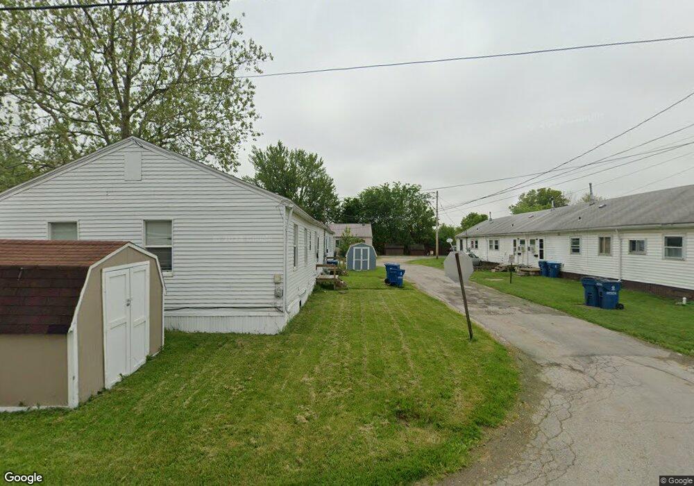
431 Huron Ct Port Clinton, OH 43452
Estimated Value: $73,000 - $113,000
2
Beds
1
Bath
800
Sq Ft
$115/Sq Ft
Est. Value
About This Home
This home is located at 431 Huron Ct, Port Clinton, OH 43452 and is currently estimated at $92,299, approximately $115 per square foot. 431 Huron Ct is a home located in Ottawa County with nearby schools including Bataan Memorial Primary School, Bataan Memorial Intermediate School, and Port Clinton Middle School.
Ownership History
Date
Name
Owned For
Owner Type
Purchase Details
Closed on
Jun 29, 2006
Sold by
Horne Onie Mae
Bought by
Cox Melvin and Cox Sylvia
Current Estimated Value
Home Financials for this Owner
Home Financials are based on the most recent Mortgage that was taken out on this home.
Original Mortgage
$15,351
Interest Rate
6.73%
Mortgage Type
Purchase Money Mortgage
Create a Home Valuation Report for This Property
The Home Valuation Report is an in-depth analysis detailing your home's value as well as a comparison with similar homes in the area
Home Values in the Area
Average Home Value in this Area
Purchase History
| Date | Buyer | Sale Price | Title Company |
|---|---|---|---|
| Cox Melvin | $10,000 | -- | |
| Cox Melvin I | $10,000 | Hartung Title Agency Inc |
Source: Public Records
Mortgage History
| Date | Status | Borrower | Loan Amount |
|---|---|---|---|
| Closed | Cox Melvin I | $15,351 |
Source: Public Records
Tax History Compared to Growth
Tax History
| Year | Tax Paid | Tax Assessment Tax Assessment Total Assessment is a certain percentage of the fair market value that is determined by local assessors to be the total taxable value of land and additions on the property. | Land | Improvement |
|---|---|---|---|---|
| 2024 | $443 | $11,887 | $2,692 | $9,195 |
| 2023 | $422 | $8,708 | $1,792 | $6,916 |
| 2022 | $346 | $8,708 | $1,792 | $6,916 |
| 2021 | $346 | $8,710 | $1,790 | $6,920 |
| 2020 | $240 | $6,320 | $1,770 | $4,550 |
| 2019 | $238 | $6,320 | $1,770 | $4,550 |
| 2018 | $237 | $6,320 | $1,770 | $4,550 |
| 2017 | $214 | $5,610 | $1,770 | $3,840 |
| 2016 | $215 | $5,610 | $1,770 | $3,840 |
| 2015 | $215 | $5,610 | $1,770 | $3,840 |
| 2014 | $46 | $5,610 | $1,770 | $3,840 |
| 2013 | $344 | $5,610 | $1,770 | $3,840 |
Source: Public Records
Map
Nearby Homes
- 1254 W Fremont Rd
- 515 W 6th St
- 413 W 3rd St
- 416 W 3rd St
- 612 Harrison St
- 1107 Grant St
- 326 W 4th St
- 229 W 4th St
- 820 Monroe St
- 721 Monroe St
- 711 W Lakeshore Dr Unit 408C
- 711 W Lakeshore Dr Unit 602
- 224 Clinton Reef Dr Unit 224
- 208 Clinton Reef Dr Unit 208
- 545 W Lakeshore Dr Unit 11
- 545 W Lakeshore Dr Unit 12
- 545 W Lakeshore Dr
- 545 W Lakeshore Dr Unit 10
- 545 W Lakeshore Dr Unit 9
- 172 Clinton Reef Dr