431 Island Pointe Dr Unit 23 Saint Joseph, MI 49085
Estimated Value: $305,000 - $443,265
2
Beds
1
Bath
1,018
Sq Ft
$389/Sq Ft
Est. Value
About This Home
This home is located at 431 Island Pointe Dr Unit 23, Saint Joseph, MI 49085 and is currently estimated at $395,566, approximately $388 per square foot. 431 Island Pointe Dr Unit 23 is a home located in Berrien County with nearby schools including Upton Middle School, St. Joseph High School, and Benton Harbor Charter School Academy.
Ownership History
Date
Name
Owned For
Owner Type
Purchase Details
Closed on
Mar 24, 2015
Sold by
Sisson Gary G and Sisson May N
Bought by
Sisson Family Trust
Current Estimated Value
Purchase Details
Closed on
Sep 15, 2006
Sold by
Baughman Craig and Baughman Stephanie A
Bought by
Sisson Gary G and Sisson May N
Home Financials for this Owner
Home Financials are based on the most recent Mortgage that was taken out on this home.
Original Mortgage
$210,000
Interest Rate
6.59%
Mortgage Type
Purchase Money Mortgage
Purchase Details
Closed on
Sep 16, 2002
Purchase Details
Closed on
Apr 12, 2002
Create a Home Valuation Report for This Property
The Home Valuation Report is an in-depth analysis detailing your home's value as well as a comparison with similar homes in the area
Home Values in the Area
Average Home Value in this Area
Purchase History
| Date | Buyer | Sale Price | Title Company |
|---|---|---|---|
| Sisson Family Trust | -- | None Available | |
| Sisson Gary G | $307,500 | None Available | |
| -- | -- | -- | |
| -- | $74,000 | -- |
Source: Public Records
Mortgage History
| Date | Status | Borrower | Loan Amount |
|---|---|---|---|
| Closed | Sisson Gary G | $210,000 |
Source: Public Records
Tax History Compared to Growth
Tax History
| Year | Tax Paid | Tax Assessment Tax Assessment Total Assessment is a certain percentage of the fair market value that is determined by local assessors to be the total taxable value of land and additions on the property. | Land | Improvement |
|---|---|---|---|---|
| 2025 | $5,837 | $196,900 | $0 | $0 |
| 2024 | $5,662 | $175,100 | $0 | $0 |
| 2023 | $5,430 | $155,700 | $0 | $0 |
| 2022 | $5,183 | $137,600 | $0 | $0 |
| 2021 | $5,150 | $143,800 | $40,900 | $102,900 |
| 2020 | $5,080 | $143,400 | $0 | $0 |
| 2019 | $5,041 | $132,600 | $41,000 | $91,600 |
| 2018 | $4,956 | $132,600 | $0 | $0 |
| 2017 | $4,445 | $131,500 | $0 | $0 |
| 2016 | $4,445 | $125,500 | $0 | $0 |
| 2015 | $4,391 | $122,300 | $0 | $0 |
| 2014 | $4,184 | $121,000 | $0 | $0 |
Source: Public Records
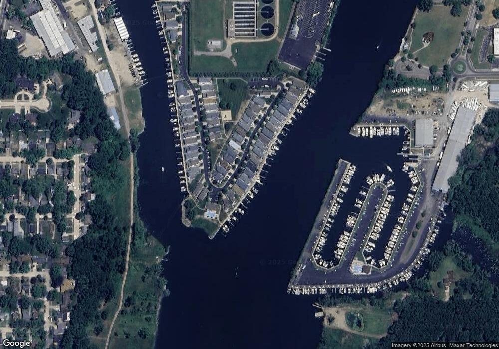
Map
Nearby Homes
- 1000 Riverview Dr Unit 11
- 398 Anchors Way Unit 87s
- 398 Anchors Way Unit 82s
- 1405 Manley Ct
- 1311 Wolcott Ave
- 389 Parker Ave
- 377 Parker Ave
- 1221 Broad St Unit 3
- 1210 Guernsey Ct
- 298 W Empire Ave
- 1004 Harrison Ave
- 0 Wayne St Unit 25003159
- 912 Market St
- 1008 Wayne St
- 379 Western Ave
- 205 Wayne St
- 197 Wayne St
- 955 Colfax Ave
- 941 Colfax Ave
- 144 Mariners Cove
- 429 Island Pointe Dr
- 433 Island Pointe Dr Unit 165
- 427 Island Pointe Dr
- 435 Island Pointe Dr
- 425 Island Pointe Dr Unit 157
- 437 Island Pointe Dr
- 437 Island Pointe Dr Unit 20B
- 430 Island Pointe Dr Unit 122
- 428 Island Pointe Dr Unit 111
- 428 Island Pointe Dr
- 432 Island Pointe Dr Unit 113
- 423 Island Pointe Dr Unit 27
- 426 Island Pointe Dr
- 439 Island Pointe Dr Unit 173
- 431 Anchors Way
- 424 Island Pointe Dr Unit 156
- 421 Island Pointe Dr Unit 151
- 399176 Island Pointe Dr
- 399162 Island Pointe Dr
- 399160 Island Pointe Dr